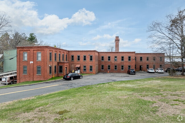
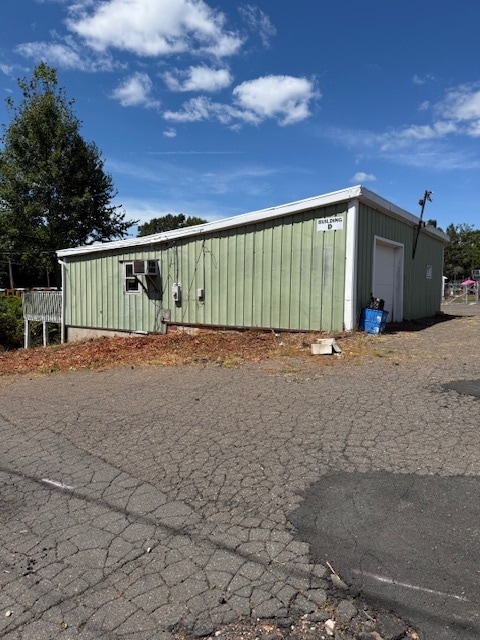
Property Record
40 Glen Rd, Manchester, CT 06040


Current Lease Availabilities
Property Detail
40 Glen Rd
MANC-000126-002420-000040
HARTFORD
Industrialgeneral
Connecticut
RR/IND
40
AE The base floodplain where base flood elevations are provided. AE Zones are now used on new format FIRMs instead of A1-A30 Zones.
22.89 AC
2024
Manchester
2025
Hartford
515200
Hartford-West Hartford-East Hartford, CT
NEARBY LISTINGS FOR SALE OR LEASE
DEMOGRAPHICS near 40 Glen Rd
1 mile
3 mile
5 mile
2025 Total Population
4,080
43,986
92,705
2030 Population
4,156
44,697
94,496
Pop Growth 2025-2030
+ 1.86%
+ 1.62%
+ 1.93%
Average Age
45
41
41
2025 Total Households
1,638
17,924
37,942
HH Growth 2025-2030
+ 1.89%
+ 1.59%
+ 1.95%
Median Household Inc
$115,389
$89,173
$95,206
Avg Household Size
2.40
2.40
2.40
2025 Avg HH Vehicles
2.00
2.00
2.00
Median Home Value
$343,913
$271,577
$293,918
Median Year Built
1967
1956
1966
Nearby Places
Map Layers
Map Styles
 Street
 Aerial
Layers
 Traffic
 Biking
Places
Listings with unknown addresses are not visible on the map
- Restaurants
- Banks
- Shops
- Fitness
- Groceries
PUBLIC TRANSPORTATION
AIRPORT
Bradley International
Drive
Walk
Distance
Bradley International
43 min
25.4 mi
Tweed/New Haven
Drive
Walk
Distance
Tweed/New Haven
66 min
49.8 mi
Freight Ports
Port of New Haven
Drive
Walk
Distance
Port of New Haven
62 min
47.5 mi
Nearby Properties
Address
Land Use
TOTAL SIZE
Lot Size
Zoning
Address
Land Use
TOTAL SIZE
Lot Size
Zoning
12.54 AC
Address
Land Use
TOTAL SIZE
Lot Size
Zoning
53.59 AC
RA
Address
Land Use
TOTAL SIZE
Lot Size
Zoning
219,479 SF
9.32 AC
H
Address
Land Use
TOTAL SIZE
Lot Size
Zoning
22.12 AC
FBZ
Address
Land Use
TOTAL SIZE
Lot Size
Zoning
6.38 AC
CBD
Address
Land Use
TOTAL SIZE
Lot Size
Zoning
79,198 SF
10.47 AC
RA
Address
Land Use
TOTAL SIZE
Lot Size
Zoning
195,772 SF
3.17 AC
H
Address
Land Use
TOTAL SIZE
Lot Size
Zoning
6.80 AC
H
Address
Land Use
TOTAL SIZE
Lot Size
Zoning
16 AC
RA
Address
Land Use
TOTAL SIZE
Lot Size
Zoning
32,137 SF
11.95 AC
RR
Address
Land Use
TOTAL SIZE
Lot Size
Zoning
54,012 SF
16.64 AC
RA
Address
Land Use
TOTAL SIZE
Lot Size
Zoning
129,700 SF
3.60 AC
H
Address
Land Use
TOTAL SIZE
Lot Size
Zoning
78,559 SF
25.70 AC
R-1
Address
Land Use
TOTAL SIZE
Lot Size
Zoning
119,542 SF
3.80 AC
RB/HIS
Address
Land Use
TOTAL SIZE
Lot Size
Zoning
69,160 SF
7.65 AC
FBZ
Address
Land Use
TOTAL SIZE
Lot Size
Zoning
30,443 SF
2.59 AC
RB
Address
Land Use
TOTAL SIZE
Lot Size
Zoning
7.70 AC
RA
Address
Land Use
TOTAL SIZE
Lot Size
Zoning
6.45 AC
RB
Address
Land Use
TOTAL SIZE
Lot Size
Zoning
33,089 SF
24.15 AC
AA
Address
Land Use
TOTAL SIZE
Lot Size
Zoning
4.23 AC
GB
Address
Land Use
TOTAL SIZE
Lot Size
Zoning
3.97 AC
RA
Address
Land Use
TOTAL SIZE
Lot Size
Zoning
66,776 SF
8.20 AC
RA
Address
Land Use
TOTAL SIZE
Lot Size
Zoning
4.23 AC
RA/RC
Address
Land Use
TOTAL SIZE
Lot Size
Zoning
96.36 AC
R-27
Address
Land Use
TOTAL SIZE
Lot Size
Zoning
58,539 SF
4.70 AC
RA
Address
Land Use
TOTAL SIZE
Lot Size
Zoning
2.78 AC
RC
Address
Land Use
TOTAL SIZE
Lot Size
Zoning
50,116 SF
22.20 AC
RR/AA
Address
Land Use
TOTAL SIZE
Lot Size
Zoning
35,020 SF
13.10 AC
RR
Address
Land Use
TOTAL SIZE
Lot Size
Zoning
8 AC
FBZ
Address
Land Use
TOTAL SIZE
Lot Size
Zoning
33,064 SF
2.10 AC
B2/RA
The World's #1 Commercial Real Estate Marketplace
Connect with us
© 2026 CoStar Group
The information above has been obtained from sources believed reliable. While we do not doubt its accuracy we have not verified it and make no guarantee, warranty or representation about it. It is your responsibility to independently confirm its accuracy and completeness. Any projections, opinions, assumptions, or estimates used are for example only and do not represent the current or future performance of the property. The value of this transaction to you depends on tax and other factors which should be evaluated by your tax, financial, and legal advisors. You and your advisors should conduct a careful, independent investigation of the property to determine to your satisfaction the suitability of the property for your needs.