Property Record
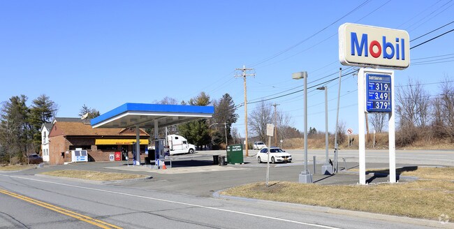
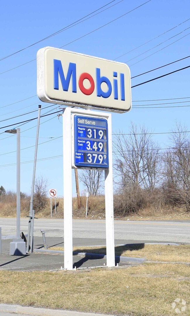
5 State Route 17M, Harriman, NY 10926

Save to a Folder
{{folder.Name}}
{{folder.ListingIds.length}} Properties
{{folder.ListingIds.length}} Property
Create a New Folder
Property Detail
5 State Route 17M
334089-024-000-0001-036.000-0000
ORANGE
Supermarket
New York
GB
36.00
B and X Area of moderate flood hazard, usually the area between the limits of the 100-year and 500-year floods.
0.26 AC
2024
Monroe
2025
Northern New Jersey
014101
Kiryas Joel-Poughkeepsie-Newburgh, NY
1,120 SF
NEARBY LISTINGS FOR SALE OR LEASE
-
-
-
-
-
No Photo
-
View all Harriman listings for sale on LoopNet.com
DEMOGRAPHICS near 5 State Route 17M
1 mile
3 mile
5 mile
2025 Total Population
3,805
40,852
76,783
2030 Population
3,839
42,111
79,076
Pop Growth 2025-2030
+ 0.89%
+ 3.08%
+ 2.99%
Average Age
39
30
30
2025 Total Households
1,380
10,363
19,418
HH Growth 2025-2030
+ 1.01%
+ 3.11%
+ 3.07%
Median Household Inc
$104,272
$82,118
$88,920
Avg Household Size
2.70
3.80
3.80
2025 Avg HH Vehicles
2.00
1.00
2.00
Median Home Value
$457,771
$552,006
$500,893
Median Year Built
1982
1991
1989
Nearby Places
Map Layers
Map Styles
 Street
 Aerial
Layers
 Traffic
 Biking
Places
Listings with unknown addresses are not visible on the map
- Restaurants
- Banks
- Shops
- Fitness
- Groceries
PUBLIC TRANSPORTATION
COMMUTER RAIL
Harriman (Bergen County/Port Jervis Line - NJ Transit Commuter Rail (NJ Transit), Main/Port Jervis Line - NJ Transit Commuter Rail (NJ Transit))
Drive
Walk
Distance
Harriman (Bergen County/Port Jervis Line - NJ Transit Commuter Rail (NJ Transit), Main/Port Jervis Line - NJ Transit Commuter Rail (NJ Transit))
2 min
18 min
1.0 mi
Tuxedo (Bergen County/Port Jervis Line - NJ Transit Commuter Rail (NJ Transit), Main/Port Jervis Line - NJ Transit Commuter Rail (NJ Transit))
Drive
Walk
Distance
Tuxedo (Bergen County/Port Jervis Line - NJ Transit Commuter Rail (NJ Transit), Main/Port Jervis Line - NJ Transit Commuter Rail (NJ Transit))
14 min
8.5 mi
AIRPORT
New York Stewart International
Drive
Walk
Distance
New York Stewart International
32 min
22.1 mi
Westchester County
Drive
Walk
Distance
Westchester County
59 min
45.2 mi
Freight Ports
Port Newark Container Terminal
Drive
Walk
Distance
Port Newark Container Terminal
72 min
53.0 mi
Nearby Properties
Address
Land Use
TOTAL SIZE
Lot Size
Zoning
Address
Land Use
TOTAL SIZE
Lot Size
Zoning
143.60 AC
LIO
Address
Land Use
TOTAL SIZE
Lot Size
Zoning
114.40 AC
Address
Land Use
TOTAL SIZE
Lot Size
Zoning
12 AC
Address
Land Use
TOTAL SIZE
Lot Size
Zoning
235,455 SF
51.70 AC
IB
Address
Land Use
TOTAL SIZE
Lot Size
Zoning
103,290 SF
41.22 AC
RR-1.0AC
Address
Land Use
TOTAL SIZE
Lot Size
Zoning
125,636 SF
19.91 AC
SR-20
Address
Land Use
TOTAL SIZE
Lot Size
Zoning
Address
Land Use
TOTAL SIZE
Lot Size
Zoning
7.30 AC
LIO
Address
Land Use
TOTAL SIZE
Lot Size
Zoning
31,507 SF
10.50 AC
UR-M
Address
Land Use
TOTAL SIZE
Lot Size
Zoning
31,507 SF
10.50 AC
UR-M
Address
Land Use
TOTAL SIZE
Lot Size
Zoning
8 AC
PD
Address
Land Use
TOTAL SIZE
Lot Size
Zoning
4.50 AC
Address
Land Use
TOTAL SIZE
Lot Size
Zoning
2,210.70 AC
Address
Land Use
TOTAL SIZE
Lot Size
Zoning
7.50 AC
RQTRA
Address
Land Use
TOTAL SIZE
Lot Size
Zoning
9.60 AC
IB
Address
Land Use
TOTAL SIZE
Lot Size
Zoning
15.90 AC
Address
Land Use
TOTAL SIZE
Lot Size
Zoning
6.90 AC
Address
Land Use
TOTAL SIZE
Lot Size
Zoning
28,934 SF
6.60 AC
PD
Address
Land Use
TOTAL SIZE
Lot Size
Zoning
39,235 SF
6.40 AC
Address
Land Use
TOTAL SIZE
Lot Size
Zoning
91,472 SF
6.42 AC
SR-10
Address
Land Use
TOTAL SIZE
Lot Size
Zoning
88,240 SF
3.02 AC
R-1
Address
Land Use
TOTAL SIZE
Lot Size
Zoning
159,857 SF
24.59 AC
LI
Address
Land Use
TOTAL SIZE
Lot Size
Zoning
Address
Land Use
TOTAL SIZE
Lot Size
Zoning
103,908 SF
7.40 AC
I
Address
Land Use
TOTAL SIZE
Lot Size
Zoning
92,868 SF
1.22 AC
PD
Address
Land Use
TOTAL SIZE
Lot Size
Zoning
7.60 AC
Address
Land Use
TOTAL SIZE
Lot Size
Zoning
5.20 AC
IB
Address
Land Use
TOTAL SIZE
Lot Size
Zoning
126,112 SF
3.30 AC
R-1
Address
Land Use
TOTAL SIZE
Lot Size
Zoning
15,686 SF
4.60 AC
IB
Address
Land Use
TOTAL SIZE
Lot Size
Zoning
16.80 AC
The World's #1 Commercial Real Estate Marketplace
Connect with us
© 2026 CoStar Group
The information above has been obtained from sources believed reliable. While we do not doubt its accuracy we have not verified it and make no guarantee, warranty or representation about it. It is your responsibility to independently confirm its accuracy and completeness. Any projections, opinions, assumptions, or estimates used are for example only and do not represent the current or future performance of the property. The value of this transaction to you depends on tax and other factors which should be evaluated by your tax, financial, and legal advisors. You and your advisors should conduct a careful, independent investigation of the property to determine to your satisfaction the suitability of the property for your needs.