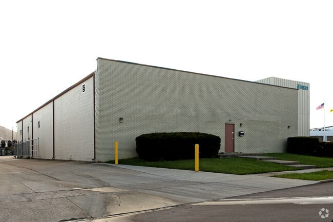
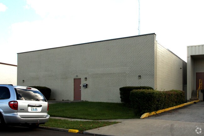
Property Record
506 Codell Dr, Lexington, KY 40509

Property Detail
506 Codell Dr
14427200
B-221 LAKEVIEW INDUSTRIAL LOT; BOOK: 2579 PAGE: 398
Multipleuses
Fayette
I-1
Kentucky
B and X Area of moderate flood hazard, usually the area between the limits of the 100-year and 500-year floods.
0.50 AC
2025
East Lexington/Fayette
2025
Lexington/Fayette
003909
Lexington-Fayette, KY
3,000 SF
NEARBY LISTINGS FOR SALE OR LEASE
DEMOGRAPHICS near 506 Codell Dr
1 mile
3 mile
5 mile
2025 Total Population
12,874
106,225
229,986
2030 Population
13,336
109,802
237,776
Pop Growth 2025-2030
+ 3.59%
+ 3.37%
+ 3.39%
Average Age
36
38
38
2025 Total Households
5,608
45,775
99,596
HH Growth 2025-2030
+ 3.85%
+ 3.74%
+ 3.68%
Median Household Inc
$50,210
$62,675
$58,939
Avg Household Size
2.30
2.10
2.20
2025 Avg HH Vehicles
2.00
2.00
2.00
Median Home Value
$224,305
$320,043
$288,362
Median Year Built
1986
1979
1979
Nearby Places
Map Layers
Map Styles
 Street
 Aerial
Layers
 Traffic
 Biking
Places
Listings with unknown addresses are not visible on the map
- Restaurants
- Banks
- Shops
- Fitness
- Groceries
PUBLIC TRANSPORTATION
AIRPORT
Blue Grass
Drive
Walk
Distance
Blue Grass
22 min
12.2 mi
Freight Ports
Port of Toledo
Drive
Walk
Distance
Port of Toledo
338 min
290.2 mi
Nearby Properties
Address
Land Use
TOTAL SIZE
Lot Size
Zoning
Address
Land Use
TOTAL SIZE
Lot Size
Zoning
163,323 SF
31 AC
P-1
Address
Land Use
TOTAL SIZE
Lot Size
Zoning
582.34 AC
A-U
Address
Land Use
TOTAL SIZE
Lot Size
Zoning
301,644 SF
38.07 AC
R-1C
Address
Land Use
TOTAL SIZE
Lot Size
Zoning
7,640 SF
9.04 AC
EAR-3
Address
Land Use
TOTAL SIZE
Lot Size
Zoning
156,270 SF
11.18 AC
R-1C
Address
Land Use
TOTAL SIZE
Lot Size
Zoning
19 AC
R-3
Address
Land Use
TOTAL SIZE
Lot Size
Zoning
9,746 SF
16.65 AC
R-4
Address
Land Use
TOTAL SIZE
Lot Size
Zoning
18.69 AC
R-3
Address
Land Use
TOTAL SIZE
Lot Size
Zoning
25,920 SF
23.71 AC
R-2
Address
Land Use
TOTAL SIZE
Lot Size
Zoning
64,617 SF
41.63 AC
B-6P
Address
Land Use
TOTAL SIZE
Lot Size
Zoning
8,208 SF
21.16 AC
R-3
Address
Land Use
TOTAL SIZE
Lot Size
Zoning
163,828 SF
17.69 AC
P-1
Address
Land Use
TOTAL SIZE
Lot Size
Zoning
57,974 SF
15.22 AC
B-6P
Address
Land Use
TOTAL SIZE
Lot Size
Zoning
24,174 SF
15.02 AC
R-3
Address
Land Use
TOTAL SIZE
Lot Size
Zoning
17.20 AC
R-4
Address
Land Use
TOTAL SIZE
Lot Size
Zoning
13.77 AC
R-4
Address
Land Use
TOTAL SIZE
Lot Size
Zoning
41.55 AC
ED
Address
Land Use
TOTAL SIZE
Lot Size
Zoning
42,642 SF
10.35 AC
B-6P
Address
Land Use
TOTAL SIZE
Lot Size
Zoning
4,868 SF
15.41 AC
R-3
Address
Land Use
TOTAL SIZE
Lot Size
Zoning
9,434 SF
16.28 AC
R-3
Address
Land Use
TOTAL SIZE
Lot Size
Zoning
73,590 SF
13.31 AC
R-1T
Address
Land Use
TOTAL SIZE
Lot Size
Zoning
103,445 SF
18.39 AC
A-U
Address
Land Use
TOTAL SIZE
Lot Size
Zoning
133,750 SF
1.13 AC
B-2B
Address
Land Use
TOTAL SIZE
Lot Size
Zoning
267,060 SF
65 AC
R-3
Address
Land Use
TOTAL SIZE
Lot Size
Zoning
4,406 SF
28.12 AC
R-3
Address
Land Use
TOTAL SIZE
Lot Size
Zoning
25,608 SF
104.39 AC
I-1
Address
Land Use
TOTAL SIZE
Lot Size
Zoning
53,543 SF
9.78 AC
R-1C
Address
Land Use
TOTAL SIZE
Lot Size
Zoning
123,132 SF
6.81 AC
R-4
Address
Land Use
TOTAL SIZE
Lot Size
Zoning
147,967 SF
17.03 AC
CC
Address
Land Use
TOTAL SIZE
Lot Size
Zoning
39,672 SF
46.50 AC
R-1B
The World's #1 Commercial Real Estate Marketplace
Connect with us
© 2026 CoStar Group
The information above has been obtained from sources believed reliable. While we do not doubt its accuracy we have not verified it and make no guarantee, warranty or representation about it. It is your responsibility to independently confirm its accuracy and completeness. Any projections, opinions, assumptions, or estimates used are for example only and do not represent the current or future performance of the property. The value of this transaction to you depends on tax and other factors which should be evaluated by your tax, financial, and legal advisors. You and your advisors should conduct a careful, independent investigation of the property to determine to your satisfaction the suitability of the property for your needs.