Property Record
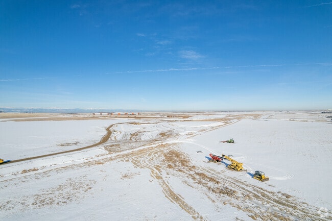
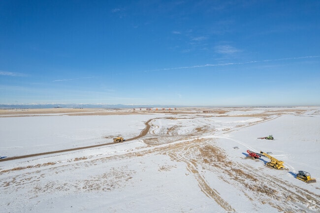
5805 N Jackson Gap St, Aurora, CO 80019

Property Detail
5805 N Jackson Gap St
Denver-Aurora-Centennial, CO
PORTEOS SUBD FLG 5 BLK 1 LOT 1
1819-08-3-01-001
ADAMS
Warehouse
Colorado
2024
1
2025
65.53 AC
008354
SW DIA/Pena Blvd
489,080 SF
Denver
NEARBY LISTINGS FOR SALE OR LEASE
DEMOGRAPHICS near 5805 N Jackson Gap St
1 mile
3 mile
5 mile
2025 Total Population
67
12,556
52,214
2030 Population
78
14,197
55,888
Pop Growth 2025-2030
+ 16.42%
+ 13.07%
+ 7.04%
Average Age
36
37
35
2025 Total Households
21
3,577
15,872
HH Growth 2025-2030
+ 19.05%
+ 12.64%
+ 7.25%
Median Household Inc
$124,999
$129,198
$108,378
Avg Household Size
2.70
3.10
3.10
2025 Avg HH Vehicles
2.00
3.00
2.00
Median Home Value
$659,091
$654,302
$495,133
Median Year Built
2011
2010
2009
Nearby Places
Map Layers
Map Styles
 Street
 Aerial
Transit
 Traffic
 Biking
Places
Listings with unknown addresses are not visible on the map
- Restaurants
- Banks
- Shops
- Fitness
- Groceries
PUBLIC TRANSPORTATION
COMMUTER RAIL
Denver Airport Station (Union Station to Denver Airport Station - Regional Transportation District)
Drive
Walk
Distance
Denver Airport Station (Union Station to Denver Airport Station - Regional Transportation District)
10 min
5.0 mi
61St & Pena Station Track 2 (Union Station to Denver Airport Station - Regional Transportation District)
Drive
Walk
Distance
61St & Pena Station Track 2 (Union Station to Denver Airport Station - Regional Transportation District)
11 min
5.6 mi
AIRPORT
Denver International
Drive
Walk
Distance
Denver International
10 min
5.5 mi
Freight Ports
Tulsa Port Of Catoosa
Drive
Walk
Distance
Tulsa Port Of Catoosa
716 min
698.2 mi
Nearby Properties
Address
Land Use
TOTAL SIZE
Lot Size
Zoning
Address
Land Use
TOTAL SIZE
Lot Size
Zoning
934,913 SF
116.11 AC
Address
Land Use
TOTAL SIZE
Lot Size
Zoning
938,254 SF
74.01 AC
Address
Land Use
TOTAL SIZE
Lot Size
Zoning
357,908 SF
601.85 AC
DIA
Address
Land Use
TOTAL SIZE
Lot Size
Zoning
506,843 SF
146.96 AC
Address
Land Use
TOTAL SIZE
Lot Size
Zoning
288,020 SF
49.76 AC
Address
Land Use
TOTAL SIZE
Lot Size
Zoning
670,320 SF
35.50 AC
Address
Land Use
TOTAL SIZE
Lot Size
Zoning
594,080 SF
73.88 AC
Address
Land Use
TOTAL SIZE
Lot Size
Zoning
624,560 SF
45.86 AC
Address
Land Use
TOTAL SIZE
Lot Size
Zoning
541,840 SF
27.24 AC
Address
Land Use
TOTAL SIZE
Lot Size
Zoning
377,791 SF
23 AC
Address
Land Use
TOTAL SIZE
Lot Size
Zoning
353,350 SF
28.91 AC
Address
Land Use
TOTAL SIZE
Lot Size
Zoning
437,144 SF
11.58 AC
Address
Land Use
TOTAL SIZE
Lot Size
Zoning
187,720 SF
15.13 AC
Address
Land Use
TOTAL SIZE
Lot Size
Zoning
32,410 SF
10 AC
Address
Land Use
TOTAL SIZE
Lot Size
Zoning
696,480 SF
27.93 AC
Address
Land Use
TOTAL SIZE
Lot Size
Zoning
106,305 SF
12.04 AC
R-MU-20
Address
Land Use
TOTAL SIZE
Lot Size
Zoning
136,874 SF
18.50 AC
Address
Land Use
TOTAL SIZE
Lot Size
Zoning
325,255 SF
10.65 AC
Address
Land Use
TOTAL SIZE
Lot Size
Zoning
144,003 SF
9.32 AC
Address
Land Use
TOTAL SIZE
Lot Size
Zoning
205,800 SF
13.80 AC
Address
Land Use
TOTAL SIZE
Lot Size
Zoning
203,840 SF
16.47 AC
Address
Land Use
TOTAL SIZE
Lot Size
Zoning
201,250 SF
14.37 AC
Address
Land Use
TOTAL SIZE
Lot Size
Zoning
5,853 SF
55.30 AC
Address
Land Use
TOTAL SIZE
Lot Size
Zoning
132.32 AC
Address
Land Use
TOTAL SIZE
Lot Size
Zoning
55,545 SF
20.02 AC
DIA
Address
Land Use
TOTAL SIZE
Lot Size
Zoning
166.32 AC
Address
Land Use
TOTAL SIZE
Lot Size
Zoning
152,100 SF
14.64 AC
Address
Land Use
TOTAL SIZE
Lot Size
Zoning
91.30 AC
DIA
Address
Land Use
TOTAL SIZE
Lot Size
Zoning
143,260 SF
9.14 AC
The World's #1 Commercial Real Estate Marketplace
Connect with us
© 2026 CoStar Group
The information above has been obtained from sources believed reliable. While we do not doubt its accuracy we have not verified it and make no guarantee, warranty or representation about it. It is your responsibility to independently confirm its accuracy and completeness. Any projections, opinions, assumptions, or estimates used are for example only and do not represent the current or future performance of the property. The value of this transaction to you depends on tax and other factors which should be evaluated by your tax, financial, and legal advisors. You and your advisors should conduct a careful, independent investigation of the property to determine to your satisfaction the suitability of the property for your needs.