Property Record
585 N Perkins Rd, Memphis, TN 38122

NEARBY LISTINGS FOR SALE OR LEASE
Property Detail
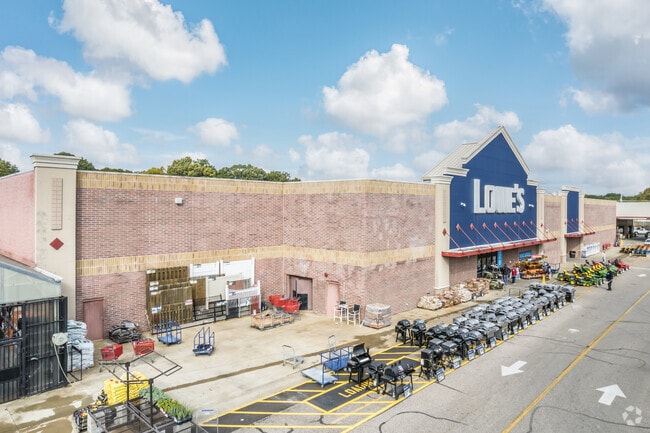
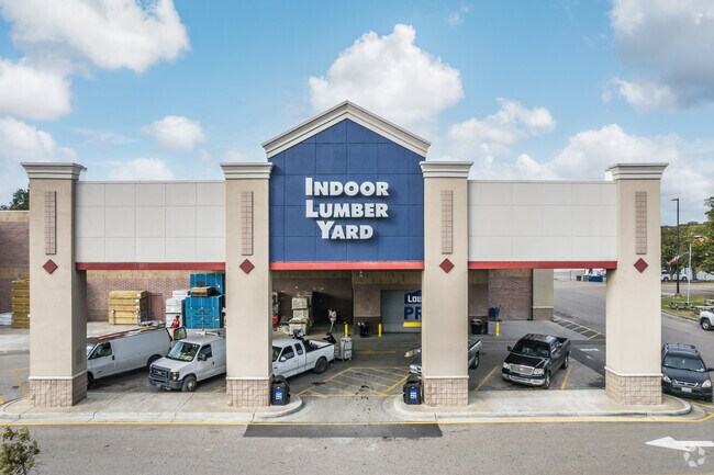
585 N Perkins Rd
06-3007-0-0010C
Lowes Home Centers P.D.
Departmentstore
SS SUMMER AVE TO WS PERKINS RD
X
Shelby
47157C0293G
Tennessee
2024
16 AC
2025
East
008600
Memphis
139,218 SF
Memphis, TN-MS-AR
DEMOGRAPHICS near 585 N Perkins Rd
1 Mile
3 Mile
5 Mile
2024 Total Population
11,894
77,009
212,294
2029 Population
11,631
75,874
209,966
Pop Growth 2024-2029
(2.21%)
(1.47%)
(1.10%)
Average Age
37
37
37
2024 Total Households
4,724
30,886
87,582
HH Growth 2024-2029
(2.35%)
(1.61%)
(1.20%)
Median Household Inc
$62,838
$55,612
$49,554
Avg Household Size
2.40
2.40
2.30
2024 Avg HH Vehicles
2.00
2.00
2.00
Median Home Value
$253,637
$270,097
$195,806
Median Year Built
1956
1957
1961
Nearby Places
Map Layers
Map Styles
 Street
 Aerial
- Restaurants
- Banks
- Shops
- Fitness
- Groceries
PUBLIC TRANSPORTATION
AIRPORT
Memphis International
DRIVE
WALK
Distance
Memphis International
19 min
12.4 mi
Freight Ports
Port of Shreveport
DRIVE
WALK
Distance
Port of Shreveport
412 min
377.1 mi
Nearby Properties
Address
Land Use
TOTAL SIZE
Lot Size
Zoning
Address
Land Use
TOTAL SIZE
Lot Size
Zoning
218,327 SF
4.89 AC
R-6
Address
Land Use
TOTAL SIZE
Lot Size
Zoning
85,062 SF
8.43 AC
CA
Address
Land Use
TOTAL SIZE
Lot Size
Zoning
99,768 SF
100.86 AC
EMP
Address
Land Use
TOTAL SIZE
Lot Size
Zoning
190,263 SF
6.59 AC
R-10
Address
Land Use
TOTAL SIZE
Lot Size
Zoning
118,073 SF
4.75 AC
CMU-1
Address
Land Use
TOTAL SIZE
Lot Size
Zoning
24.72 AC
R-10
Address
Land Use
TOTAL SIZE
Lot Size
Zoning
114,326 SF
1.99 AC
R-6
Address
Land Use
TOTAL SIZE
Lot Size
Zoning
104.22 AC
R-15
Address
Land Use
TOTAL SIZE
Lot Size
Zoning
206,186 SF
13.64 AC
CMU-2
Address
Land Use
TOTAL SIZE
Lot Size
Zoning
116,745 SF
10.46 AC
CA
Address
Land Use
TOTAL SIZE
Lot Size
Zoning
123,976 SF
10.31 AC
CMU-3
Address
Land Use
TOTAL SIZE
Lot Size
Zoning
87,283 SF
2.14 AC
CMU-1
Address
Land Use
TOTAL SIZE
Lot Size
Zoning
76,115 SF
4.94 AC
CMU-3
Address
Land Use
TOTAL SIZE
Lot Size
Zoning
100,182 SF
9.39 AC
CMU-3
Address
Land Use
TOTAL SIZE
Lot Size
Zoning
55,082 SF
2.31 AC
CMU-1
Address
Land Use
TOTAL SIZE
Lot Size
Zoning
31.54 AC
CA
Address
Land Use
TOTAL SIZE
Lot Size
Zoning
190,456 SF
13.71 AC
CMU-1
Address
Land Use
TOTAL SIZE
Lot Size
Zoning
399,662 SF
27.28 AC
EMP
Address
Land Use
TOTAL SIZE
Lot Size
Zoning
181.02 AC
R-15
Address
Land Use
TOTAL SIZE
Lot Size
Zoning
200,040 SF
12 AC
R-10
Address
Land Use
TOTAL SIZE
Lot Size
Zoning
274,100 SF
7.79 AC
CMU-3
Address
Land Use
TOTAL SIZE
Lot Size
Zoning
81,516 SF
2.76 AC
RU-3
Address
Land Use
TOTAL SIZE
Lot Size
Zoning
138,881 SF
9.91 AC
CMU-2
Address
Land Use
TOTAL SIZE
Lot Size
Zoning
35,150 SF
3.59 AC
CMU-3
Address
Land Use
TOTAL SIZE
Lot Size
Zoning
19.54 AC
R-10
Address
Land Use
TOTAL SIZE
Lot Size
Zoning
81,958 SF
0.98 AC
CMU-1
Address
Land Use
TOTAL SIZE
Lot Size
Zoning
64,294 SF
4.90 AC
CMU-3
Address
Land Use
TOTAL SIZE
Lot Size
Zoning
106,792 SF
8.85 AC
CMU-2
Address
Land Use
TOTAL SIZE
Lot Size
Zoning
73,168 SF
1.38 AC
CMU-1
Address
Land Use
TOTAL SIZE
Lot Size
Zoning
36,148 SF
5.84 AC
R-15
The World's #1 Commercial Real Estate Marketplace
Connect with us
© 2026 CoStar Group
The information above has been obtained from sources believed reliable. While we do not doubt its accuracy we have not verified it and make no guarantee, warranty or representation about it. It is your responsibility to independently confirm its accuracy and completeness. Any projections, opinions, assumptions, or estimates used are for example only and do not represent the current or future performance of the property. The value of this transaction to you depends on tax and other factors which should be evaluated by your tax, financial, and legal advisors. You and your advisors should conduct a careful, independent investigation of the property to determine to your satisfaction the suitability of the property for your needs.