Property Record
6041 Trinity St, Philadelphia, PA 19142
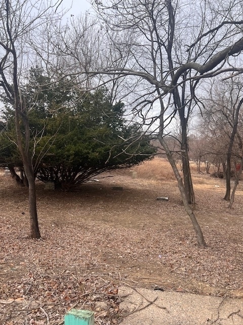

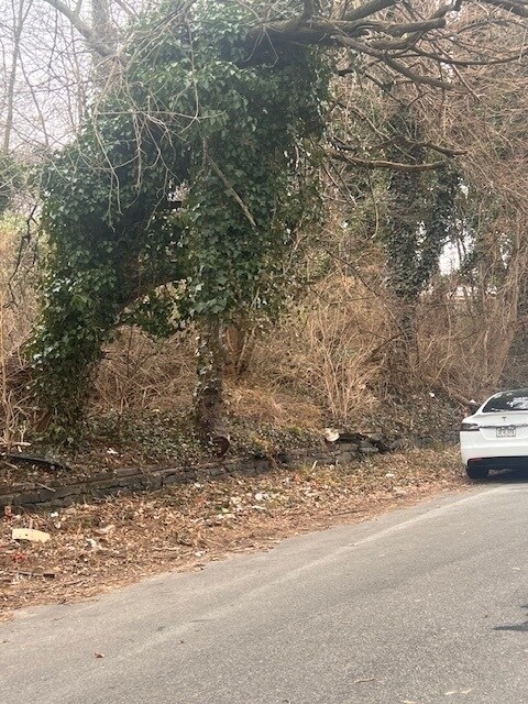
Property Detail
6041 Trinity St
Philadelphia-Camden-Wilmington, PA-NJ-DE-MD
31911 W 60TH ST
401212600
PHILADELPHIA
Recreationalacreage
Pennsylvania
RSA5
153
B and X Area of moderate flood hazard, usually the area between the limits of the 100-year and 500-year floods.
0.02 AC
2025
West Philadelphia
2026
Philadelphia
006500
NEARBY LISTINGS FOR SALE OR LEASE
DEMOGRAPHICS near 6041 Trinity St
1 mile
3 mile
5 mile
2025 Total Population
52,737
365,682
836,172
2030 Population
52,670
366,274
837,356
Pop Growth 2025-2030
(0.13%)
+ 0.16%
+ 0.14%
Average Age
38
37
38
2025 Total Households
19,610
141,765
352,468
HH Growth 2025-2030
(0.12%)
+ 0.02%
(0.05%)
Median Household Inc
$43,585
$49,097
$66,856
Avg Household Size
2.60
2.40
2.20
2025 Avg HH Vehicles
1.00
1.00
1.00
Median Home Value
$129,994
$180,521
$271,123
Median Year Built
1947
1948
1949
Nearby Places
Map Layers
Map Styles
 Street
 Aerial
Layers
 Traffic
 Biking
Places
Listings with unknown addresses are not visible on the map
- Restaurants
- Banks
- Shops
- Fitness
- Groceries
PUBLIC TRANSPORTATION
TRANSIT/SUBWAY
60th Street and Chester Avenue (Route 13 - Southeastern Pennsylvania Transportation Authority Rapid Transit (SEPTA Subway & Trolley))
Drive
Walk
Distance
60th Street and Chester Avenue (Route 13 - Southeastern Pennsylvania Transportation Authority Rapid Transit (SEPTA Subway & Trolley))
1 min
2 min
0.1 mi
Kingsessing Avenue and 61st Street (Route 13 - Southeastern Pennsylvania Transportation Authority Rapid Transit (SEPTA Subway & Trolley))
Drive
Walk
Distance
Kingsessing Avenue and 61st Street (Route 13 - Southeastern Pennsylvania Transportation Authority Rapid Transit (SEPTA Subway & Trolley))
1 min
4 min
0.2 mi
Kingsessing Avenue and 60th Street (Route 13 - Southeastern Pennsylvania Transportation Authority Rapid Transit (SEPTA Subway & Trolley))
Drive
Walk
Distance
Kingsessing Avenue and 60th Street (Route 13 - Southeastern Pennsylvania Transportation Authority Rapid Transit (SEPTA Subway & Trolley))
1 min
4 min
0.2 mi
Chester Avenue and 59th Street (Route 13 - Southeastern Pennsylvania Transportation Authority Rapid Transit (SEPTA Subway & Trolley))
Drive
Walk
Distance
Chester Avenue and 59th Street (Route 13 - Southeastern Pennsylvania Transportation Authority Rapid Transit (SEPTA Subway & Trolley))
1 min
12 min
0.2 mi
Kingsessing Avenue and 62nd Street (Route 13 - Southeastern Pennsylvania Transportation Authority Rapid Transit (SEPTA Subway & Trolley))
Drive
Walk
Distance
Kingsessing Avenue and 62nd Street (Route 13 - Southeastern Pennsylvania Transportation Authority Rapid Transit (SEPTA Subway & Trolley))
1 min
6 min
0.3 mi
COMMUTER RAIL
Angora (R3 - Southeastern Pennsylvania Transportation Authority Regional Rail (SEPTA Regional Rail))
Drive
Walk
Distance
Angora (R3 - Southeastern Pennsylvania Transportation Authority Regional Rail (SEPTA Regional Rail))
4 min
1.2 mi
49th Street (R3 - Southeastern Pennsylvania Transportation Authority Regional Rail (SEPTA Regional Rail))
Drive
Walk
Distance
49th Street (R3 - Southeastern Pennsylvania Transportation Authority Regional Rail (SEPTA Regional Rail))
4 min
1.4 mi
AIRPORT
Philadelphia International
Drive
Walk
Distance
Philadelphia International
15 min
6.1 mi
Trenton Mercer
Drive
Walk
Distance
Trenton Mercer
60 min
38.8 mi
Freight Ports
South Jersey Port
Drive
Walk
Distance
South Jersey Port
20 min
9.4 mi
SALE & LEASE HISTORY
LISTING DATE
SALE/LEASE

Mar 13, 2025
For Sale
Nearby Properties
Address
Land Use
TOTAL SIZE
Lot Size
Zoning
Address
Land Use
TOTAL SIZE
Lot Size
Zoning
26,690 SF
500 AC
SPINS
Address
Land Use
TOTAL SIZE
Lot Size
Zoning
319,590 SF
0.87 AC
I2
Address
Land Use
TOTAL SIZE
Lot Size
Zoning
696,920 SF
10.55 AC
SPINS
Address
Land Use
TOTAL SIZE
Lot Size
Zoning
700,000 SF
7.88 AC
CMX5
Address
Land Use
TOTAL SIZE
Lot Size
Zoning
391,440 SF
1.72 AC
SPINS
Address
Land Use
TOTAL SIZE
Lot Size
Zoning
385,000 SF
2.49 AC
SPINS
Address
Land Use
TOTAL SIZE
Lot Size
Zoning
376,874 SF
3.14 AC
SPINS
Address
Land Use
TOTAL SIZE
Lot Size
Zoning
375,500 SF
1.40 AC
CMX5
Address
Land Use
TOTAL SIZE
Lot Size
Zoning
373,040 SF
4.17 AC
SPINS
Address
Land Use
TOTAL SIZE
Lot Size
Zoning
400,000 SF
3.32 AC
CMX5
Address
Land Use
TOTAL SIZE
Lot Size
Zoning
685,000 SF
47.69 AC
CMX3
Address
Land Use
TOTAL SIZE
Lot Size
Zoning
727,272 SF
16.70 AC
I3
Address
Land Use
TOTAL SIZE
Lot Size
Zoning
1,588,163 SF
7.28 AC
SPINS
Address
Land Use
TOTAL SIZE
Lot Size
Zoning
303,750 SF
1.36 AC
SPINS
Address
Land Use
TOTAL SIZE
Lot Size
Zoning
311,688 SF
5.51 AC
SPINS
Address
Land Use
TOTAL SIZE
Lot Size
Zoning
473,400 SF
0.86 AC
CMX4
Address
Land Use
TOTAL SIZE
Lot Size
Zoning
Address
Land Use
TOTAL SIZE
Lot Size
Zoning
698,358 SF
16.79 AC
SPINS
Address
Land Use
TOTAL SIZE
Lot Size
Zoning
279,420 SF
1.21 AC
SPINS
Address
Land Use
TOTAL SIZE
Lot Size
Zoning
Address
Land Use
TOTAL SIZE
Lot Size
Zoning
354,372 SF
CMX4
Address
Land Use
TOTAL SIZE
Lot Size
Zoning
226,650 SF
4.51 AC
CMX5
Address
Land Use
TOTAL SIZE
Lot Size
Zoning
269,171 SF
2.64 AC
SPINS
Address
Land Use
TOTAL SIZE
Lot Size
Zoning
910,000 SF
70 AC
I2
Address
Land Use
TOTAL SIZE
Lot Size
Zoning
525,469 SF
2.57 AC
CMX4
Address
Land Use
TOTAL SIZE
Lot Size
Zoning
500,000 SF
5.81 AC
CMX5
Address
Land Use
TOTAL SIZE
Lot Size
Zoning
259,691 SF
6.23 AC
SPINS
Address
Land Use
TOTAL SIZE
Lot Size
Zoning
295,293 SF
0.72 AC
CMX4
Address
Land Use
TOTAL SIZE
Lot Size
Zoning
396,788 SF
1.62 AC
CMX5
Address
Land Use
TOTAL SIZE
Lot Size
Zoning
415,239 SF
0.03 AC
CMX4
The World's #1 Commercial Real Estate Marketplace
Connect with us
© 2026 CoStar Group
The information above has been obtained from sources believed reliable. While we do not doubt its accuracy we have not verified it and make no guarantee, warranty or representation about it. It is your responsibility to independently confirm its accuracy and completeness. Any projections, opinions, assumptions, or estimates used are for example only and do not represent the current or future performance of the property. The value of this transaction to you depends on tax and other factors which should be evaluated by your tax, financial, and legal advisors. You and your advisors should conduct a careful, independent investigation of the property to determine to your satisfaction the suitability of the property for your needs.