Property Record
S General Mcmullen Dr, San Antonio, TX 78237
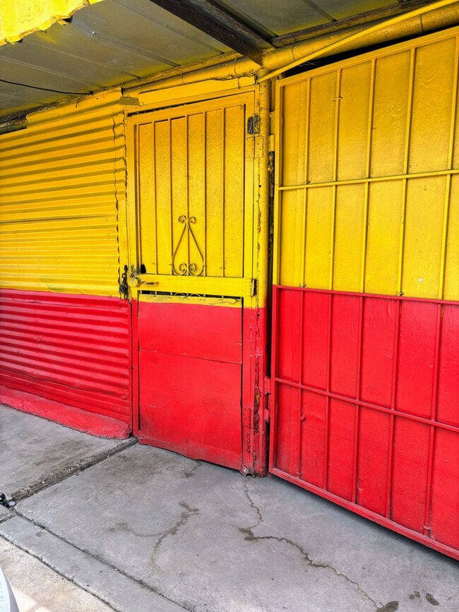


This Property Is For Sale
NEARBY LISTINGS FOR SALE OR LEASE
Property Detail
S General Mcmullen Dr
San Antonio-New Braunfels, TX
NCB 8654 BLK 33 LOT W IRR 82.71 FT OF 26 THRU 30 2023 SPLIT PER DEED 20220226704 & 20220226705
08654-033-0260
Bexar
Autorepair
Texas
2024
23
2025
0.23 AC
171100
Northwest
300 SF
San Antonio
DEMOGRAPHICS near S General Mcmullen Dr
1 Mile
3 Mile
5 Mile
2024 Total Population
19,154
144,004
348,602
2029 Population
21,336
160,506
389,739
Pop Growth 2024-2029
+ 11.39%
+ 11.46%
+ 11.80%
Average Age
37
37
38
2024 Total Households
6,034
46,790
122,399
HH Growth 2024-2029
+ 11.53%
+ 11.64%
+ 12.49%
Median Household Inc
$32,851
$34,410
$40,511
Avg Household Size
3.10
2.90
2.60
2024 Avg HH Vehicles
2.00
2.00
2.00
Median Home Value
$77,123
$95,912
$132,226
Median Year Built
1958
1958
1962
Nearby Places
Map Layers
Map Styles
 Street
 Aerial
- Restaurants
- Banks
- Shops
- Fitness
- Groceries
PUBLIC TRANSPORTATION
COMMUTER RAIL
San Antonio Amtrak Station (Sunset Limited - Amtrak, Texas Eagle - Amtrak)
DRIVE
WALK
Distance
San Antonio Amtrak Station (Sunset Limited - Amtrak, Texas Eagle - Amtrak)
11 min
5.5 mi
AIRPORT
San Antonio International
DRIVE
WALK
Distance
San Antonio International
19 min
11.9 mi
Freight Ports
Calhoun Port
DRIVE
WALK
Distance
Calhoun Port
185 min
151.2 mi
Nearby Properties
Address
Land Use
TOTAL SIZE
Lot Size
Zoning
Address
Land Use
TOTAL SIZE
Lot Size
Zoning
324,044 SF
16.87 AC
Address
Land Use
TOTAL SIZE
Lot Size
Zoning
442,263 SF
37.97 AC
Address
Land Use
TOTAL SIZE
Lot Size
Zoning
726,948 SF
16.86 AC
Address
Land Use
TOTAL SIZE
Lot Size
Zoning
66,404 SF
44.45 AC
Address
Land Use
TOTAL SIZE
Lot Size
Zoning
352,890 SF
19.97 AC
Address
Land Use
TOTAL SIZE
Lot Size
Zoning
245,371 SF
20.50 AC
Address
Land Use
TOTAL SIZE
Lot Size
Zoning
Address
Land Use
TOTAL SIZE
Lot Size
Zoning
98,208 SF
0.94 AC
Address
Land Use
TOTAL SIZE
Lot Size
Zoning
325,718 SF
38.35 AC
Address
Land Use
TOTAL SIZE
Lot Size
Zoning
223,148 SF
19.15 AC
Address
Land Use
TOTAL SIZE
Lot Size
Zoning
99,538 SF
11.89 AC
Address
Land Use
TOTAL SIZE
Lot Size
Zoning
102,456 SF
7.35 AC
Address
Land Use
TOTAL SIZE
Lot Size
Zoning
315,630 SF
10.19 AC
Address
Land Use
TOTAL SIZE
Lot Size
Zoning
251,400 SF
10.62 AC
Address
Land Use
TOTAL SIZE
Lot Size
Zoning
195,120 SF
19.77 AC
Address
Land Use
TOTAL SIZE
Lot Size
Zoning
187,200 SF
17.85 AC
Address
Land Use
TOTAL SIZE
Lot Size
Zoning
231,592 SF
47.96 AC
Address
Land Use
TOTAL SIZE
Lot Size
Zoning
143,212 SF
14.85 AC
Address
Land Use
TOTAL SIZE
Lot Size
Zoning
155,130 SF
13.89 AC
Address
Land Use
TOTAL SIZE
Lot Size
Zoning
249,640 SF
Address
Land Use
TOTAL SIZE
Lot Size
Zoning
360,000 SF
0.01 AC
Address
Land Use
TOTAL SIZE
Lot Size
Zoning
197,650 SF
20.69 AC
Address
Land Use
TOTAL SIZE
Lot Size
Zoning
48,688 SF
7.77 AC
Address
Land Use
TOTAL SIZE
Lot Size
Zoning
117,770 SF
6.76 AC
Address
Land Use
TOTAL SIZE
Lot Size
Zoning
196,328 SF
7.83 AC
Address
Land Use
TOTAL SIZE
Lot Size
Zoning
127,092 SF
11.30 AC
Address
Land Use
TOTAL SIZE
Lot Size
Zoning
275,840 SF
10.06 AC
Address
Land Use
TOTAL SIZE
Lot Size
Zoning
63,880 SF
4.03 AC
Address
Land Use
TOTAL SIZE
Lot Size
Zoning
206,832 SF
31.78 AC
Address
Land Use
TOTAL SIZE
Lot Size
Zoning
82,465 SF
1.19 AC
The World's #1 Commercial Real Estate Marketplace
Connect with us
© 2026 CoStar Group
The information above has been obtained from sources believed reliable. While we do not doubt its accuracy we have not verified it and make no guarantee, warranty or representation about it. It is your responsibility to independently confirm its accuracy and completeness. Any projections, opinions, assumptions, or estimates used are for example only and do not represent the current or future performance of the property. The value of this transaction to you depends on tax and other factors which should be evaluated by your tax, financial, and legal advisors. You and your advisors should conduct a careful, independent investigation of the property to determine to your satisfaction the suitability of the property for your needs.