Property Record
6601 W Ustick Rd, Boise, ID 83704


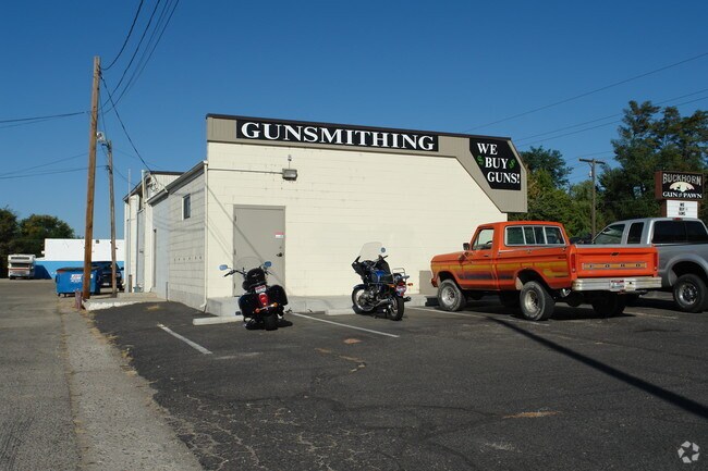
Property Detail
6601 W Ustick Rd
R0387280151
PAR #0151 OF LOTS 9/10 BLK 2 JAY AMYX SUB NO 4 #0150-B CONTRACT ON FILE
Commercialbuilding
Ada
C-1D
Idaho
B and X Area of moderate flood hazard, usually the area between the limits of the 100-year and 500-year floods.
9
2025
0.32 AC
2025
West Boise
001201
Boise City/Nampa
1,932 SF
Boise City, ID
NEARBY LISTINGS FOR SALE OR LEASE
DEMOGRAPHICS near 6601 W Ustick Rd
1 mile
3 mile
5 mile
2024 Total Population
13,047
114,426
231,031
2029 Population
13,579
119,359
241,948
Pop Growth 2024-2029
+ 4.08%
+ 4.31%
+ 4.73%
Average Age
41
41
41
2024 Total Households
5,576
49,199
97,166
HH Growth 2024-2029
+ 4.41%
+ 4.75%
+ 5.23%
Median Household Inc
$72,350
$72,227
$77,286
Avg Household Size
2.30
2.20
2.30
2024 Avg HH Vehicles
2.00
2.00
2.00
Median Home Value
$424,740
$458,060
$485,781
Median Year Built
1977
1984
1989
Nearby Places
Map Layers
Map Styles
 Street
 Aerial
Transit
 Traffic
 Biking
Places
Listings with unknown addresses are not visible on the map
- Restaurants
- Banks
- Shops
- Fitness
- Groceries
PUBLIC TRANSPORTATION
AIRPORT
Boise Air Trml/Gowen Field
Drive
Walk
Distance
Boise Air Trml/Gowen Field
19 min
7.7 mi
Nearby Properties
Address
Land Use
TOTAL SIZE
Lot Size
Zoning
Address
Land Use
TOTAL SIZE
Lot Size
Zoning
646,787 SF
27.37 AC
C-2D
Address
Land Use
TOTAL SIZE
Lot Size
Zoning
13.90 AC
R-2D
Address
Land Use
TOTAL SIZE
Lot Size
Zoning
386,225 SF
13.46 AC
C-4D/DA
Address
Land Use
TOTAL SIZE
Lot Size
Zoning
4.02 AC
C-2
Address
Land Use
TOTAL SIZE
Lot Size
Zoning
402,504 SF
5.78 AC
C-5DD
Address
Land Use
TOTAL SIZE
Lot Size
Zoning
207,033 SF
10.67 AC
L-OD
Address
Land Use
TOTAL SIZE
Lot Size
Zoning
366,126 SF
0.82 AC
C-5DD
Address
Land Use
TOTAL SIZE
Lot Size
Zoning
225,032 SF
12.75 AC
R-3D
Address
Land Use
TOTAL SIZE
Lot Size
Zoning
249,800 SF
12.99 AC
C-2D
Address
Land Use
TOTAL SIZE
Lot Size
Zoning
245,000 SF
12.28 AC
R-2D
Address
Land Use
TOTAL SIZE
Lot Size
Zoning
319,052 SF
24.33 AC
C-2D
Address
Land Use
TOTAL SIZE
Lot Size
Zoning
151,285 SF
9.54 AC
R-1C
Address
Land Use
TOTAL SIZE
Lot Size
Zoning
222,379 SF
1.37 AC
M
Address
Land Use
TOTAL SIZE
Lot Size
Zoning
150,584 SF
6.77 AC
M
Address
Land Use
TOTAL SIZE
Lot Size
Zoning
96,969 SF
2 AC
C-5DDC
Address
Land Use
TOTAL SIZE
Lot Size
Zoning
211,039 SF
12.21 AC
C-3D
Address
Land Use
TOTAL SIZE
Lot Size
Zoning
162,432 SF
8.31 AC
R-3D
Address
Land Use
TOTAL SIZE
Lot Size
Zoning
72,579 SF
4.48 AC
M-1D
Address
Land Use
TOTAL SIZE
Lot Size
Zoning
125,241 SF
1.42 AC
C-5DD
Address
Land Use
TOTAL SIZE
Lot Size
Zoning
7.16 AC
C-2D
Address
Land Use
TOTAL SIZE
Lot Size
Zoning
176,494 SF
10.16 AC
R-1C
Address
Land Use
TOTAL SIZE
Lot Size
Zoning
290,239 SF
4.73 AC
ZC-243
Address
Land Use
TOTAL SIZE
Lot Size
Zoning
10.32 AC
C-2D
Address
Land Use
TOTAL SIZE
Lot Size
Zoning
292,885 SF
13.76 AC
C-1
Address
Land Use
TOTAL SIZE
Lot Size
Zoning
136,244 SF
8.56 AC
R-3D/DA
Address
Land Use
TOTAL SIZE
Lot Size
Zoning
84,180 SF
1.11 AC
C-5DD
Address
Land Use
TOTAL SIZE
Lot Size
Zoning
137,752 SF
5.13 AC
ZC-268
Address
Land Use
TOTAL SIZE
Lot Size
Zoning
127,136 SF
7.59 AC
R-3D
Address
Land Use
TOTAL SIZE
Lot Size
Zoning
124,286 SF
5 AC
R-3
Address
Land Use
TOTAL SIZE
Lot Size
Zoning
323,236 SF
14.77 AC
M-1D
The World's #1 Commercial Real Estate Marketplace
Connect with us
© 2026 CoStar Group
The information above has been obtained from sources believed reliable. While we do not doubt its accuracy we have not verified it and make no guarantee, warranty or representation about it. It is your responsibility to independently confirm its accuracy and completeness. Any projections, opinions, assumptions, or estimates used are for example only and do not represent the current or future performance of the property. The value of this transaction to you depends on tax and other factors which should be evaluated by your tax, financial, and legal advisors. You and your advisors should conduct a careful, independent investigation of the property to determine to your satisfaction the suitability of the property for your needs.