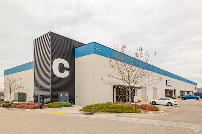
Property Record
6663 S Eisenman Rd, Boise, ID 83716

Property Detail
6663 S Eisenman Rd
R3220250035
PAR #0085 OF LTS 1-4 BL 3 GOWEN BUSINESS PARK SUB NO 03 PARCEL C ROS 11128 #0010S #0030S #0050S #0080S
Foundry
Ada
M-1D
Idaho
B and X Area of moderate flood hazard, usually the area between the limits of the 100-year and 500-year floods.
1-4
2025
5.05 AC
2025
Airport
010503
Boise City/Nampa
51,840 SF
Boise City, ID
NEARBY LISTINGS FOR SALE OR LEASE
DEMOGRAPHICS near 6663 S Eisenman Rd
1 mile
3 mile
5 mile
2024 Total Population
1,180
31,201
81,618
2029 Population
1,258
32,578
85,847
Pop Growth 2024-2029
+ 6.61%
+ 4.41%
+ 5.18%
Average Age
37
41
39
2024 Total Households
478
12,543
34,444
HH Growth 2024-2029
+ 7.32%
+ 4.82%
+ 5.74%
Median Household Inc
$87,799
$119,557
$92,417
Avg Household Size
2.40
2.40
2.20
2024 Avg HH Vehicles
2.00
2.00
2.00
Median Home Value
$388,792
$592,930
$595,328
Median Year Built
1996
1993
1990
Nearby Places
Map Layers
Map Styles
 Street
 Aerial
Transit
 Traffic
 Biking
Places
Listings with unknown addresses are not visible on the map
- Restaurants
- Banks
- Shops
- Fitness
- Groceries
PUBLIC TRANSPORTATION
AIRPORT
Boise Air Trml/Gowen Field
Drive
Walk
Distance
Boise Air Trml/Gowen Field
15 min
3.7 mi
Freight Ports
Port of Portland
Drive
Walk
Distance
Port of Portland
481 min
436.2 mi
SALE & LEASE HISTORY
LISTING DATE
SALE/LEASE

Jan 24, 2018
For Lease
Aug 13, 2020
For Lease
Nearby Properties
Address
Land Use
TOTAL SIZE
Lot Size
Zoning
Address
Land Use
TOTAL SIZE
Lot Size
Zoning
ZC-258
Address
Land Use
TOTAL SIZE
Lot Size
Zoning
851,556 SF
78.75 AC
M-2D
Address
Land Use
TOTAL SIZE
Lot Size
Zoning
900,981 SF
86.35 AC
ZC-263
Address
Land Use
TOTAL SIZE
Lot Size
Zoning
122,110 SF
12.66 AC
T-2D/DA
Address
Land Use
TOTAL SIZE
Lot Size
Zoning
347,991 SF
12.51 AC
SP-02
Address
Land Use
TOTAL SIZE
Lot Size
Zoning
356,969 SF
49.72 AC
M-1D
Address
Land Use
TOTAL SIZE
Lot Size
Zoning
245,240 SF
5.40 AC
R-2D
Address
Land Use
TOTAL SIZE
Lot Size
Zoning
214,318 SF
13.77 AC
R-2D
Address
Land Use
TOTAL SIZE
Lot Size
Zoning
259,565 SF
4.07 AC
SP-02
Address
Land Use
TOTAL SIZE
Lot Size
Zoning
364,998 SF
40.53 AC
M-1D
Address
Land Use
TOTAL SIZE
Lot Size
Zoning
277,827 SF
M-2D
Address
Land Use
TOTAL SIZE
Lot Size
Zoning
215,141 SF
5.25 AC
SP-01
Address
Land Use
TOTAL SIZE
Lot Size
Zoning
366,032 SF
10.79 AC
C-4D
Address
Land Use
TOTAL SIZE
Lot Size
Zoning
237,251 SF
20.90 AC
M-1D
Address
Land Use
TOTAL SIZE
Lot Size
Zoning
220,160 SF
12.70 AC
M-1D
Address
Land Use
TOTAL SIZE
Lot Size
Zoning
190,180 SF
14.43 AC
R-2D
Address
Land Use
TOTAL SIZE
Lot Size
Zoning
237,299 SF
20.32 AC
M-1D
Address
Land Use
TOTAL SIZE
Lot Size
Zoning
50,674 SF
49.82 AC
T-2D
Address
Land Use
TOTAL SIZE
Lot Size
Zoning
150,147 SF
3.94 AC
SP-01
Address
Land Use
TOTAL SIZE
Lot Size
Zoning
161,421 SF
10.05 AC
R-1C
Address
Land Use
TOTAL SIZE
Lot Size
Zoning
168,000 SF
M-2D
Address
Land Use
TOTAL SIZE
Lot Size
Zoning
3.41 AC
SP-02
Address
Land Use
TOTAL SIZE
Lot Size
Zoning
187,820 SF
11.39 AC
M-1D
Address
Land Use
TOTAL SIZE
Lot Size
Zoning
96.73 AC
T-2D
Address
Land Use
TOTAL SIZE
Lot Size
Zoning
165,000 SF
10.60 AC
M-1D
Address
Land Use
TOTAL SIZE
Lot Size
Zoning
158,767 SF
3 AC
M-1D
Address
Land Use
TOTAL SIZE
Lot Size
Zoning
19,359 SF
4.75 AC
C-1D
Address
Land Use
TOTAL SIZE
Lot Size
Zoning
171,774 SF
10.14 AC
M-1D
Address
Land Use
TOTAL SIZE
Lot Size
Zoning
133,300 SF
18.38 AC
M-1D
Address
Land Use
TOTAL SIZE
Lot Size
Zoning
81.26 AC
T-2D
The World's #1 Commercial Real Estate Marketplace
Connect with us
© 2026 CoStar Group
The information above has been obtained from sources believed reliable. While we do not doubt its accuracy we have not verified it and make no guarantee, warranty or representation about it. It is your responsibility to independently confirm its accuracy and completeness. Any projections, opinions, assumptions, or estimates used are for example only and do not represent the current or future performance of the property. The value of this transaction to you depends on tax and other factors which should be evaluated by your tax, financial, and legal advisors. You and your advisors should conduct a careful, independent investigation of the property to determine to your satisfaction the suitability of the property for your needs.