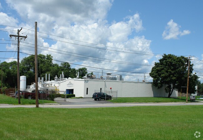
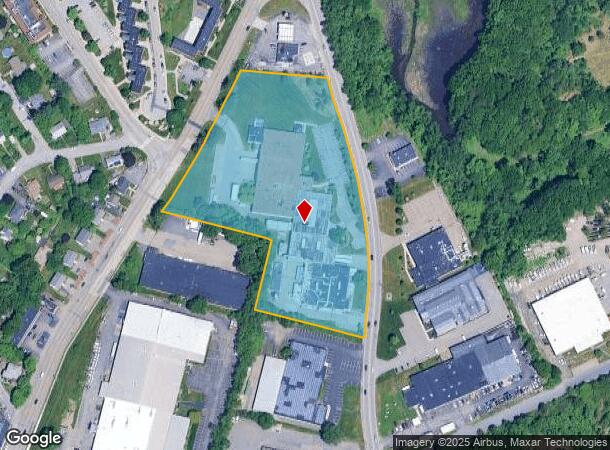
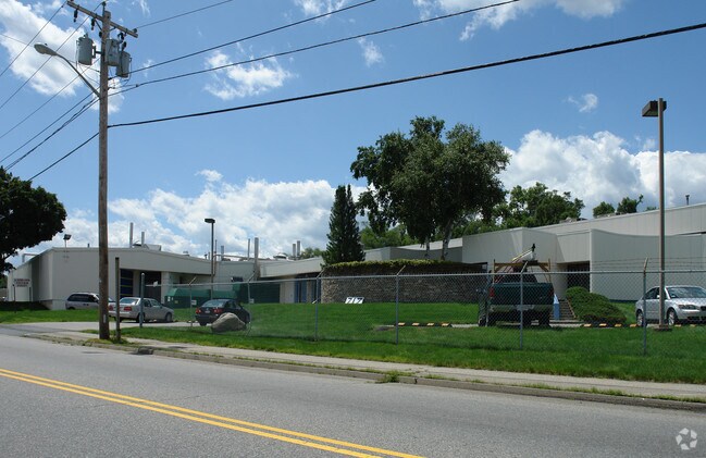
Property Record
717 Plantation St, Worcester, MA 01605
NEARBY LISTINGS FOR SALE OR LEASE
Property Detail
717 Plantation St
WORC-000046-000048-000004
Worcester
Manufacturinglight
Massachusetts
X
4
25027C0620E
6.25 AC
2025
Worcester Metro
2025
Boston
732002
Worcester, MA-CT
80,257 SF
DEMOGRAPHICS near 717 Plantation St
1 Mile
3 Mile
5 Mile
2024 Total Population
10,975
83,823
225,011
2029 Population
10,926
83,135
222,758
Pop Growth 2024-2029
(0.45%)
(0.82%)
(1.00%)
Average Age
37
40
39
2024 Total Households
4,372
33,867
87,333
HH Growth 2024-2029
(0.50%)
(0.85%)
(0.98%)
Median Household Inc
$41,569
$71,827
$71,434
Avg Household Size
2.40
2.30
2.40
2024 Avg HH Vehicles
1.00
2.00
2.00
Median Home Value
$279,612
$347,575
$366,716
Median Year Built
1958
1957
1956
Nearby Places
Map Layers
Map Styles
 Street
 Aerial
- Restaurants
- Banks
- Shops
- Fitness
- Groceries
PUBLIC TRANSPORTATION
COMMUTER RAIL
Worcester (Framingham/Worcester Line - Massachusetts Bay Transportation Authority Commuter Rail (Purple Line))
DRIVE
WALK
Distance
Worcester (Framingham/Worcester Line - Massachusetts Bay Transportation Authority Commuter Rail (Purple Line))
14 min
5.7 mi
Grafton (Framingham/Worcester Line - Massachusetts Bay Transportation Authority Commuter Rail (Purple Line))
DRIVE
WALK
Distance
Grafton (Framingham/Worcester Line - Massachusetts Bay Transportation Authority Commuter Rail (Purple Line))
18 min
7.1 mi
Freight Ports
Port of Boston
DRIVE
WALK
Distance
Port of Boston
1 min
37.9 mi
Nearby Properties
Address
Land Use
TOTAL SIZE
Lot Size
Zoning
Address
Land Use
TOTAL SIZE
Lot Size
Zoning
381,440 SF
2.74 AC
BG-6
Address
Land Use
TOTAL SIZE
Lot Size
Zoning
457,170 SF
29.92 AC
ML-.5
Address
Land Use
TOTAL SIZE
Lot Size
Zoning
20.01 AC
BG-2
Address
Land Use
TOTAL SIZE
Lot Size
Zoning
155,421 SF
65.04 AC
RL-7
Address
Land Use
TOTAL SIZE
Lot Size
Zoning
26,152 SF
7.97 AC
COM BU
Address
Land Use
TOTAL SIZE
Lot Size
Zoning
524,527 SF
45.16 AC
BL-1
Address
Land Use
TOTAL SIZE
Lot Size
Zoning
362,937 SF
91.58 AC
Address
Land Use
TOTAL SIZE
Lot Size
Zoning
Address
Land Use
TOTAL SIZE
Lot Size
Zoning
51.05 AC
BO-1
Address
Land Use
TOTAL SIZE
Lot Size
Zoning
295,000 SF
194.17 AC
RUR B
Address
Land Use
TOTAL SIZE
Lot Size
Zoning
16.01 AC
COM BU
Address
Land Use
TOTAL SIZE
Lot Size
Zoning
50.11 AC
RS-7
Address
Land Use
TOTAL SIZE
Lot Size
Zoning
3.85 AC
RG-5
Address
Land Use
TOTAL SIZE
Lot Size
Zoning
117,645 SF
3.11 AC
BO-1
Address
Land Use
TOTAL SIZE
Lot Size
Zoning
272,824 SF
14.95 AC
BL-1
Address
Land Use
TOTAL SIZE
Lot Size
Zoning
30.93 AC
RG-5
Address
Land Use
TOTAL SIZE
Lot Size
Zoning
Address
Land Use
TOTAL SIZE
Lot Size
Zoning
15.42 AC
RG-5
Address
Land Use
TOTAL SIZE
Lot Size
Zoning
176,316 SF
19.57 AC
RL-7
Address
Land Use
TOTAL SIZE
Lot Size
Zoning
70,514 SF
31.64 AC
RL-7
Address
Land Use
TOTAL SIZE
Lot Size
Zoning
194,264 SF
4.32 AC
BL-1
Address
Land Use
TOTAL SIZE
Lot Size
Zoning
142,438 SF
14.26 AC
RES B-
Address
Land Use
TOTAL SIZE
Lot Size
Zoning
68.34 AC
ML10
Address
Land Use
TOTAL SIZE
Lot Size
Zoning
3.97 AC
BG-6
Address
Land Use
TOTAL SIZE
Lot Size
Zoning
174,807 SF
32.43 AC
RES B-
Address
Land Use
TOTAL SIZE
Lot Size
Zoning
37,093 SF
5.41 AC
RG-5
Address
Land Use
TOTAL SIZE
Lot Size
Zoning
15.37 AC
RS-7
Address
Land Use
TOTAL SIZE
Lot Size
Zoning
203,184 SF
0.21 AC
MF-1
Address
Land Use
TOTAL SIZE
Lot Size
Zoning
181,408 SF
1.50 AC
BG-6
Address
Land Use
TOTAL SIZE
Lot Size
Zoning
491,632 SF
1.59 AC
RL-7
The World's #1 Commercial Real Estate Marketplace
Connect with us
© 2025 CoStar Group
The information above has been obtained from sources believed reliable. While we do not doubt its accuracy we have not verified it and make no guarantee, warranty or representation about it. It is your responsibility to independently confirm its accuracy and completeness. Any projections, opinions, assumptions, or estimates used are for example only and do not represent the current or future performance of the property. The value of this transaction to you depends on tax and other factors which should be evaluated by your tax, financial, and legal advisors. You and your advisors should conduct a careful, independent investigation of the property to determine to your satisfaction the suitability of the property for your needs.