Property Record
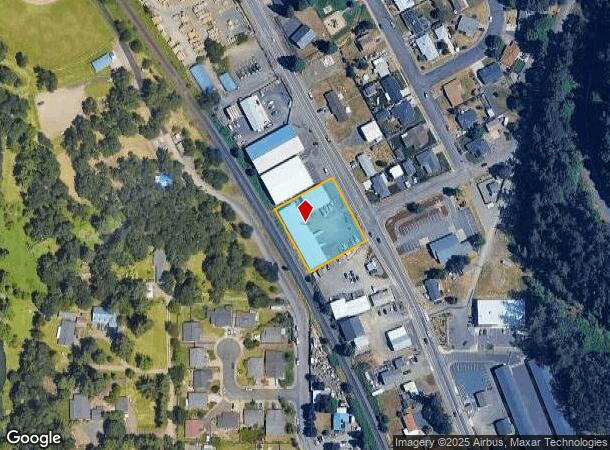
7185 3Rd St Se, Turner, OR 97392

Property Detail
7185 3Rd St Se
530960
ACRES 1.00
Officebuilding
Marion
AE
Oregon
41047C0677J
1 AC
2024
Marion County
2025
Portland
002701
Salem, OR
11,184 SF
NEARBY LISTINGS FOR SALE OR LEASE
DEMOGRAPHICS near 7185 3Rd St Se
1 mile
3 mile
5 mile
2024 Total Population
3,145
10,391
58,829
2029 Population
3,228
10,504
59,517
Pop Growth 2024-2029
+ 2.64%
+ 1.09%
+ 1.17%
Average Age
43
42
40
2024 Total Households
1,163
3,174
20,964
HH Growth 2024-2029
+ 2.67%
+ 1.01%
+ 1.22%
Median Household Inc
$104,340
$100,781
$77,914
Avg Household Size
2.70
2.70
2.60
2024 Avg HH Vehicles
2.00
2.00
2.00
Median Home Value
$517,206
$495,401
$384,732
Median Year Built
1985
1990
1990
Nearby Places
Map Layers
Map Styles
 Street
 Aerial
Transit
 Traffic
 Biking
Places
Listings with unknown addresses are not visible on the map
- Restaurants
- Banks
- Shops
- Fitness
- Groceries
PUBLIC TRANSPORTATION
COMMUTER RAIL
Salem (Amtrak Cascades - Amtrak, Coast Starlight - Amtrak)
Drive
Walk
Distance
Salem (Amtrak Cascades - Amtrak, Coast Starlight - Amtrak)
16 min
8.4 mi
Freight Ports
Port of Portland
Drive
Walk
Distance
Port of Portland
74 min
56.5 mi
SALE & LEASE HISTORY
LISTING DATE
SALE/LEASE

Oct 26, 2018
For Lease
Nearby Properties
Address
Land Use
TOTAL SIZE
Lot Size
Zoning
Address
Land Use
TOTAL SIZE
Lot Size
Zoning
412,248 SF
27.80 AC
Address
Land Use
TOTAL SIZE
Lot Size
Zoning
193,237 SF
9.98 AC
IG
Address
Land Use
TOTAL SIZE
Lot Size
Zoning
310,408 SF
203.73 AC
PH; PE
Address
Land Use
TOTAL SIZE
Lot Size
Zoning
Address
Land Use
TOTAL SIZE
Lot Size
Zoning
118,239 SF
10.69 AC
IG
Address
Land Use
TOTAL SIZE
Lot Size
Zoning
174,632 SF
4.58 AC
CO
Address
Land Use
TOTAL SIZE
Lot Size
Zoning
51,473 SF
5.01 AC
CO
Address
Land Use
TOTAL SIZE
Lot Size
Zoning
127,442 SF
8.69 AC
R-11
Address
Land Use
TOTAL SIZE
Lot Size
Zoning
5,015 SF
56.50 AC
C; SA
Address
Land Use
TOTAL SIZE
Lot Size
Zoning
161,616 SF
6.74 AC
EC
Address
Land Use
TOTAL SIZE
Lot Size
Zoning
300 SF
390.50 AC
PH
Address
Land Use
TOTAL SIZE
Lot Size
Zoning
59,705 SF
10.08 AC
UT-10
Address
Land Use
TOTAL SIZE
Lot Size
Zoning
1,500 SF
33.67 AC
RM2
Address
Land Use
TOTAL SIZE
Lot Size
Zoning
48,762 SF
8.78 AC
P-1; R-11
Address
Land Use
TOTAL SIZE
Lot Size
Zoning
6.82 AC
RS
Address
Land Use
TOTAL SIZE
Lot Size
Zoning
74,519 SF
36.38 AC
R-2
Address
Land Use
TOTAL SIZE
Lot Size
Zoning
Address
Land Use
TOTAL SIZE
Lot Size
Zoning
Address
Land Use
TOTAL SIZE
Lot Size
Zoning
3,975 SF
10 AC
Address
Land Use
TOTAL SIZE
Lot Size
Zoning
30,320 SF
3.06 AC
R-11
Address
Land Use
TOTAL SIZE
Lot Size
Zoning
Address
Land Use
TOTAL SIZE
Lot Size
Zoning
1,234 SF
0.69 AC
CO; RA
Address
Land Use
TOTAL SIZE
Lot Size
Zoning
35.04 AC
EC
Address
Land Use
TOTAL SIZE
Lot Size
Zoning
58,560 SF
3.87 AC
IG
Address
Land Use
TOTAL SIZE
Lot Size
Zoning
4,008 SF
11.56 AC
RM2
Address
Land Use
TOTAL SIZE
Lot Size
Zoning
45,740 SF
4.74 AC
IG-LU
Address
Land Use
TOTAL SIZE
Lot Size
Zoning
19,500 SF
4.41 AC
EFU
Address
Land Use
TOTAL SIZE
Lot Size
Zoning
36,213 SF
C
Address
Land Use
TOTAL SIZE
Lot Size
Zoning
19,623 SF
1.91 AC
CO
The World's #1 Commercial Real Estate Marketplace
Connect with us
© 2026 CoStar Group
The information above has been obtained from sources believed reliable. While we do not doubt its accuracy we have not verified it and make no guarantee, warranty or representation about it. It is your responsibility to independently confirm its accuracy and completeness. Any projections, opinions, assumptions, or estimates used are for example only and do not represent the current or future performance of the property. The value of this transaction to you depends on tax and other factors which should be evaluated by your tax, financial, and legal advisors. You and your advisors should conduct a careful, independent investigation of the property to determine to your satisfaction the suitability of the property for your needs.