Property Record
7200 Browns Mill Rd, Lithonia, GA 30038


Save to a Folder
{{folder.Name}}
{{folder.ListingIds.length}} Properties
{{folder.ListingIds.length}} Property
Create a New Folder
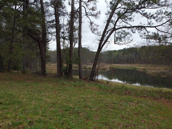
Property Detail
7200 Browns Mill Rd
11-247-01-007
DeKalb
Residentialacreage
Georgia
R85
32.29 AC
B and X Area of moderate flood hazard, usually the area between the limits of the 100-year and 500-year floods.
I-20 East/Conyers
2025
Atlanta
2025
Atlanta-Sandy Springs-Roswell, GA
023434
NEARBY LISTINGS FOR SALE OR LEASE
DEMOGRAPHICS near 7200 Browns Mill Rd
1 mile
3 mile
5 mile
2025 Total Population
2,938
18,027
61,539
2030 Population
2,958
18,572
63,382
Pop Growth 2025-2030
+ 0.68%
+ 3.02%
+ 2.99%
Average Age
37
40
39
2025 Total Households
986
6,451
22,943
HH Growth 2025-2030
+ 0.61%
+ 3.12%
+ 2.88%
Median Household Inc
$86,944
$94,037
$77,241
Avg Household Size
3.00
2.70
2.60
2025 Avg HH Vehicles
2.00
2.00
2.00
Median Home Value
$281,042
$289,515
$295,196
Median Year Built
2000
2000
1995
Nearby Places
Map Layers
Map Styles
 Street
 Aerial
Layers
 Traffic
 Biking
Places
Listings with unknown addresses are not visible on the map
- Restaurants
- Banks
- Shops
- Fitness
- Groceries
PUBLIC TRANSPORTATION
AIRPORT
Hartsfield - Jackson Atlanta International
Drive
Walk
Distance
Hartsfield - Jackson Atlanta International
38 min
22.7 mi
Freight Ports
Georgia Ports - Savannah
Drive
Walk
Distance
Georgia Ports - Savannah
272 min
237.7 mi
SALE & LEASE HISTORY
LISTING DATE
SALE/LEASE

Apr 02, 2025
For Sale
Nearby Properties
Address
Land Use
TOTAL SIZE
Lot Size
Zoning
Address
Land Use
TOTAL SIZE
Lot Size
Zoning
224,892 SF
17.81 AC
RM100
Address
Land Use
TOTAL SIZE
Lot Size
Zoning
257,807 SF
29.13 AC
RM100
Address
Land Use
TOTAL SIZE
Lot Size
Zoning
69,417 SF
13.85 AC
C1/C
Address
Land Use
TOTAL SIZE
Lot Size
Zoning
113,548 SF
15 AC
AR
Address
Land Use
TOTAL SIZE
Lot Size
Zoning
81,201 SF
17.48 AC
R1
Address
Land Use
TOTAL SIZE
Lot Size
Zoning
2,636 SF
110.71 AC
AR
Address
Land Use
TOTAL SIZE
Lot Size
Zoning
14,900 SF
1.83 AC
X
Address
Land Use
TOTAL SIZE
Lot Size
Zoning
9.90 AC
R85
Address
Land Use
TOTAL SIZE
Lot Size
Zoning
399.73 AC
RA5
Address
Land Use
TOTAL SIZE
Lot Size
Zoning
95.60 AC
OI
Address
Land Use
TOTAL SIZE
Lot Size
Zoning
113.51 AC
AR/R1/C
Address
Land Use
TOTAL SIZE
Lot Size
Zoning
79.88 AC
R85
Address
Land Use
TOTAL SIZE
Lot Size
Zoning
14,412 SF
36.40 AC
AR/R1
Address
Land Use
TOTAL SIZE
Lot Size
Zoning
3,621 SF
1.25 AC
C1
Address
Land Use
TOTAL SIZE
Lot Size
Zoning
2,978 SF
1.03 AC
C1
Address
Land Use
TOTAL SIZE
Lot Size
Zoning
10,998 SF
1.81 AC
X
Address
Land Use
TOTAL SIZE
Lot Size
Zoning
138.20 AC
RA5
Address
Land Use
TOTAL SIZE
Lot Size
Zoning
58.11 AC
AR
Address
Land Use
TOTAL SIZE
Lot Size
Zoning
9,421 SF
3.18 AC
AR/C1
Address
Land Use
TOTAL SIZE
Lot Size
Zoning
100.69 AC
X
Address
Land Use
TOTAL SIZE
Lot Size
Zoning
5,670 SF
1.25 AC
OI/COND
Address
Land Use
TOTAL SIZE
Lot Size
Zoning
4,140 SF
2.04 AC
C1
Address
Land Use
TOTAL SIZE
Lot Size
Zoning
9,600 SF
0.65 AC
OI
Address
Land Use
TOTAL SIZE
Lot Size
Zoning
13,960 SF
3.04 AC
OI/C
Address
Land Use
TOTAL SIZE
Lot Size
Zoning
175.80 AC
AR
Address
Land Use
TOTAL SIZE
Lot Size
Zoning
392.41 AC
R85
Address
Land Use
TOTAL SIZE
Lot Size
Zoning
5,000 SF
1.65 AC
C1
Address
Land Use
TOTAL SIZE
Lot Size
Zoning
3,956 SF
0.91 AC
C1
Address
Land Use
TOTAL SIZE
Lot Size
Zoning
146.05 AC
AR
Address
Land Use
TOTAL SIZE
Lot Size
Zoning
7,854 SF
2.44 AC
R1
The World's #1 Commercial Real Estate Marketplace
Connect with us
© 2026 CoStar Group
The information above has been obtained from sources believed reliable. While we do not doubt its accuracy we have not verified it and make no guarantee, warranty or representation about it. It is your responsibility to independently confirm its accuracy and completeness. Any projections, opinions, assumptions, or estimates used are for example only and do not represent the current or future performance of the property. The value of this transaction to you depends on tax and other factors which should be evaluated by your tax, financial, and legal advisors. You and your advisors should conduct a careful, independent investigation of the property to determine to your satisfaction the suitability of the property for your needs.