Property Record
7315 Argyle Forest Blvd, Jacksonville, FL 32244


Property Detail
7315 Argyle Forest Blvd
016488-0100
5-93 38-3S-25E 3.24 JACKSONVILLE HEIGHTS PT TRACTS 16 RECD O/R 17375-487 BLK 1
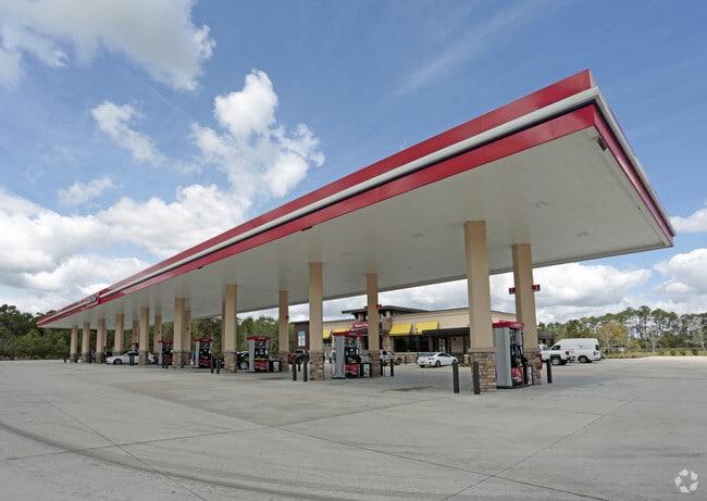
Storemultistory
Duval
PUD
Florida
B and X Area of moderate flood hazard, usually the area between the limits of the 100-year and 500-year floods.
3.24 AC
2025
Riverside
2026
Jacksonville (Florida)
013524
Jacksonville, FL
16,370 SF
NEARBY LISTINGS FOR SALE OR LEASE
DEMOGRAPHICS near 7315 Argyle Forest Blvd
1 mile
3 mile
5 mile
2025 Total Population
7,984
80,556
190,905
2030 Population
8,332
85,328
203,457
Pop Growth 2025-2030
+ 4.36%
+ 5.92%
+ 6.57%
Average Age
39
38
39
2025 Total Households
3,207
30,371
71,218
HH Growth 2025-2030
+ 4.61%
+ 6.17%
+ 6.88%
Median Household Inc
$73,011
$69,207
$68,531
Avg Household Size
2.50
2.60
2.60
2025 Avg HH Vehicles
2.00
2.00
2.00
Median Home Value
$268,955
$269,067
$274,858
Median Year Built
1991
1992
1990
Nearby Places
Map Layers
Map Styles
 Street
 Aerial
Layers
 Traffic
 Biking
Places
Listings with unknown addresses are not visible on the map
- Restaurants
- Banks
- Shops
- Fitness
- Groceries
PUBLIC TRANSPORTATION
AIRPORT
Jacksonville International
Drive
Walk
Distance
Jacksonville International
39 min
26.5 mi
Nearby Properties
Address
Land Use
TOTAL SIZE
Lot Size
Zoning
Address
Land Use
TOTAL SIZE
Lot Size
Zoning
721,413 SF
46.72 AC
REBS
Address
Land Use
TOTAL SIZE
Lot Size
Zoning
446,722 SF
13.26 AC
PUD
Address
Land Use
TOTAL SIZE
Lot Size
Zoning
336,253 SF
30.19 AC
PUD
Address
Land Use
TOTAL SIZE
Lot Size
Zoning
270,088 SF
18.50 AC
PUD
Address
Land Use
TOTAL SIZE
Lot Size
Zoning
411,272 SF
26.71 AC
RMD-C
Address
Land Use
TOTAL SIZE
Lot Size
Zoning
246,982 SF
24.84 AC
PUD
Address
Land Use
TOTAL SIZE
Lot Size
Zoning
238,713 SF
53.48 AC
BB
Address
Land Use
TOTAL SIZE
Lot Size
Zoning
227,234 SF
19.99 AC
RD-4
Address
Land Use
TOTAL SIZE
Lot Size
Zoning
281,440 SF
17.01 AC
Address
Land Use
TOTAL SIZE
Lot Size
Zoning
402,240 SF
20.66 AC
PUD
Address
Land Use
TOTAL SIZE
Lot Size
Zoning
355,124 SF
18.80 AC
PUD
Address
Land Use
TOTAL SIZE
Lot Size
Zoning
278,173 SF
27.85 AC
Address
Land Use
TOTAL SIZE
Lot Size
Zoning
296,311 SF
20.07 AC
Address
Land Use
TOTAL SIZE
Lot Size
Zoning
290,919 SF
18.75 AC
PUD
Address
Land Use
TOTAL SIZE
Lot Size
Zoning
348,247 SF
31.85 AC
PUD
Address
Land Use
TOTAL SIZE
Lot Size
Zoning
234,646 SF
18.97 AC
Address
Land Use
TOTAL SIZE
Lot Size
Zoning
244,004 SF
24.97 AC
PUD
Address
Land Use
TOTAL SIZE
Lot Size
Zoning
281,174 SF
25.34 AC
PUD
Address
Land Use
TOTAL SIZE
Lot Size
Zoning
92,193 SF
20.65 AC
PUD
Address
Land Use
TOTAL SIZE
Lot Size
Zoning
33,237 SF
33.08 AC
Address
Land Use
TOTAL SIZE
Lot Size
Zoning
172,568 SF
13.15 AC
Address
Land Use
TOTAL SIZE
Lot Size
Zoning
272,076 SF
54.84 AC
PUD
Address
Land Use
TOTAL SIZE
Lot Size
Zoning
216,883 SF
18.80 AC
CCG-1
Address
Land Use
TOTAL SIZE
Lot Size
Zoning
188,578 SF
13.44 AC
RMD-D
Address
Land Use
TOTAL SIZE
Lot Size
Zoning
98,675 SF
24.30 AC
Address
Land Use
TOTAL SIZE
Lot Size
Zoning
207,697 SF
16.06 AC
PUD
Address
Land Use
TOTAL SIZE
Lot Size
Zoning
228,290 SF
12.65 AC
RMD-D
Address
Land Use
TOTAL SIZE
Lot Size
Zoning
168,475 SF
9.38 AC
RD-4
Address
Land Use
TOTAL SIZE
Lot Size
Zoning
96,314 SF
21.05 AC
CCG-1
Address
Land Use
TOTAL SIZE
Lot Size
Zoning
222,038 SF
18.22 AC
RMD-C
The World's #1 Commercial Real Estate Marketplace
Connect with us
© 2026 CoStar Group
The information above has been obtained from sources believed reliable. While we do not doubt its accuracy we have not verified it and make no guarantee, warranty or representation about it. It is your responsibility to independently confirm its accuracy and completeness. Any projections, opinions, assumptions, or estimates used are for example only and do not represent the current or future performance of the property. The value of this transaction to you depends on tax and other factors which should be evaluated by your tax, financial, and legal advisors. You and your advisors should conduct a careful, independent investigation of the property to determine to your satisfaction the suitability of the property for your needs.