Property Record
750 Carlson Blvd, Richmond, CA 94804


Save to a Folder
{{folder.Name}}
{{folder.ListingIds.length}} Properties
{{folder.ListingIds.length}} Property
Create a New Folder
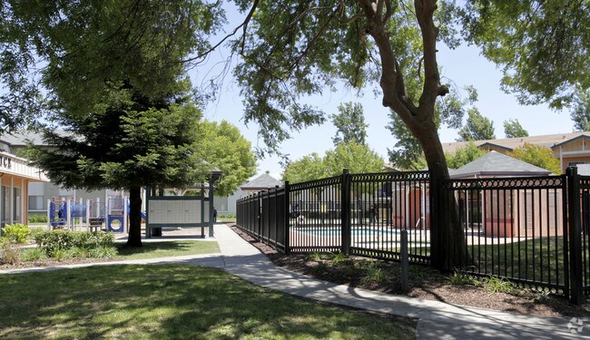
Property Detail
750 Carlson Blvd
Oakland-Fremont-Berkeley, CA
TRACT 3175 POR LOT 14 BLK 15
513-185-010-8
CONTRA COSTA
Apartment
California
B and X Area of moderate flood hazard, usually the area between the limits of the 100-year and 500-year floods.
14
2025
7.54 AC
2026
Cortez-Stege
382000
East Bay/Oakland
167,992 SF
NEARBY LISTINGS FOR SALE OR LEASE
DEMOGRAPHICS near 750 Carlson Blvd
1 mile
3 mile
5 mile
2025 Total Population
25,133
151,290
282,386
2030 Population
25,368
152,234
283,806
Pop Growth 2025-2030
+ 0.94%
+ 0.62%
+ 0.50%
Average Age
38
40
41
2025 Total Households
8,534
51,547
100,951
HH Growth 2025-2030
+ 0.98%
+ 0.64%
+ 0.47%
Median Household Inc
$83,270
$96,080
$103,025
Avg Household Size
2.80
2.80
2.70
2025 Avg HH Vehicles
2.00
2.00
2.00
Median Home Value
$692,188
$783,875
$871,352
Median Year Built
1967
1958
1958
Nearby Places
Map Layers
Map Styles
 Street
 Aerial
Layers
 Traffic
 Biking
Places
Listings with unknown addresses are not visible on the map
- Restaurants
- Banks
- Shops
- Fitness
- Groceries
PUBLIC TRANSPORTATION
COMMUTER RAIL
Richmond (Capitol Corridor - Capitol Corridor Joint Powers Authority)
Drive
Walk
Distance
Richmond (Capitol Corridor - Capitol Corridor Joint Powers Authority)
5 min
1.9 mi
Berkeley Amtrak (Capitol Corridor - Amtrak)
Drive
Walk
Distance
Berkeley Amtrak (Capitol Corridor - Amtrak)
7 min
5.1 mi
AIRPORT
Metro Oakland International
Drive
Walk
Distance
Metro Oakland International
28 min
19.9 mi
San Francisco International
Drive
Walk
Distance
San Francisco International
40 min
27.5 mi
Freight Ports
Port of Richmond
Drive
Walk
Distance
Port of Richmond
11 min
5.3 mi
Nearby Properties
Address
Land Use
TOTAL SIZE
Lot Size
Zoning
Address
Land Use
TOTAL SIZE
Lot Size
Zoning
244.30 AC
Address
Land Use
TOTAL SIZE
Lot Size
Zoning
820,000 SF
6.36 AC
Address
Land Use
TOTAL SIZE
Lot Size
Zoning
68,400 SF
5.13 AC
CM
Address
Land Use
TOTAL SIZE
Lot Size
Zoning
476,200 SF
22.92 AC
Address
Land Use
TOTAL SIZE
Lot Size
Zoning
581,157 SF
10.52 AC
Address
Land Use
TOTAL SIZE
Lot Size
Zoning
195,281 SF
0.96 AC
Address
Land Use
TOTAL SIZE
Lot Size
Zoning
163,721 SF
0.76 AC
Address
Land Use
TOTAL SIZE
Lot Size
Zoning
22.06 AC
Address
Land Use
TOTAL SIZE
Lot Size
Zoning
3,950 SF
11.47 AC
Address
Land Use
TOTAL SIZE
Lot Size
Zoning
19,308 SF
40.39 AC
Address
Land Use
TOTAL SIZE
Lot Size
Zoning
12.31 AC
Address
Land Use
TOTAL SIZE
Lot Size
Zoning
4,550 SF
24.81 AC
Address
Land Use
TOTAL SIZE
Lot Size
Zoning
35.94 AC
Address
Land Use
TOTAL SIZE
Lot Size
Zoning
16,800 SF
11.62 AC
Address
Land Use
TOTAL SIZE
Lot Size
Zoning
245,894 SF
12.67 AC
M2
Address
Land Use
TOTAL SIZE
Lot Size
Zoning
105,704 SF
10.85 AC
M3
Address
Land Use
TOTAL SIZE
Lot Size
Zoning
202,811 SF
10.98 AC
Address
Land Use
TOTAL SIZE
Lot Size
Zoning
191,800 SF
1.09 AC
Address
Land Use
TOTAL SIZE
Lot Size
Zoning
69,949 SF
0.65 AC
C2 CD
Address
Land Use
TOTAL SIZE
Lot Size
Zoning
149,558 SF
7.94 AC
Address
Land Use
TOTAL SIZE
Lot Size
Zoning
182,408 SF
10.55 AC
Address
Land Use
TOTAL SIZE
Lot Size
Zoning
124,257 SF
2.72 AC
Address
Land Use
TOTAL SIZE
Lot Size
Zoning
34.95 AC
M3
Address
Land Use
TOTAL SIZE
Lot Size
Zoning
96,440 SF
4.73 AC
Address
Land Use
TOTAL SIZE
Lot Size
Zoning
404,098 SF
24.03 AC
MSL1RD
Address
Land Use
TOTAL SIZE
Lot Size
Zoning
81,352 SF
5.06 AC
C2
Address
Land Use
TOTAL SIZE
Lot Size
Zoning
14.93 AC
Address
Land Use
TOTAL SIZE
Lot Size
Zoning
131,400 SF
8.93 AC
M-1
Address
Land Use
TOTAL SIZE
Lot Size
Zoning
54,728 SF
0.96 AC
Address
Land Use
TOTAL SIZE
Lot Size
Zoning
117,482 SF
8.68 AC
The World's #1 Commercial Real Estate Marketplace
Connect with us
© 2026 CoStar Group
The information above has been obtained from sources believed reliable. While we do not doubt its accuracy we have not verified it and make no guarantee, warranty or representation about it. It is your responsibility to independently confirm its accuracy and completeness. Any projections, opinions, assumptions, or estimates used are for example only and do not represent the current or future performance of the property. The value of this transaction to you depends on tax and other factors which should be evaluated by your tax, financial, and legal advisors. You and your advisors should conduct a careful, independent investigation of the property to determine to your satisfaction the suitability of the property for your needs.