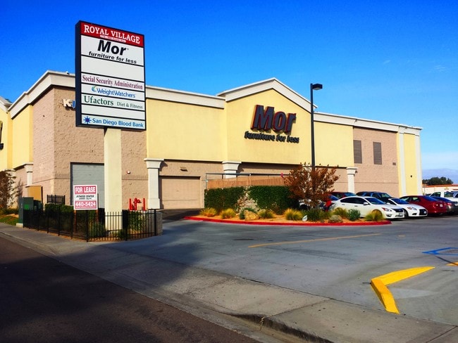
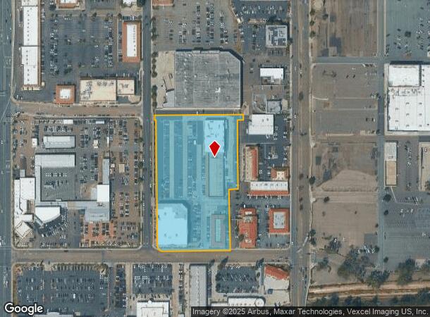
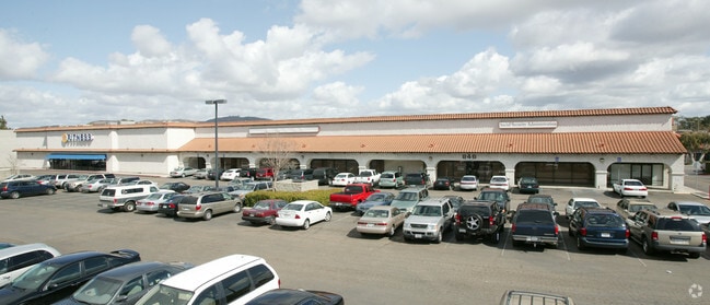
Property Record
776 Arnele Ave, El Cajon, CA 92020
NEARBY LISTINGS FOR SALE OR LEASE
Property Detail
776 Arnele Ave
San Diego-Chula Vista-Carlsbad, CA
City Of El Cajon
482-240-47
PAR 2 SLY 25 FT OF LOT 5 PER MAP 7426&(EX STS) TR PM05979
Storesoffices
San Diego
X
California
06073C1661G
5
2024
5.22 AC
2025
El Cajon
016202
San Diego
96,705 SF
DEMOGRAPHICS near 776 Arnele Ave
1 mile
3 mile
5 mile
2024 Total Population
17,902
164,057
349,296
2029 Population
17,701
162,139
345,115
Pop Growth 2024-2029
(1.12%)
(1.17%)
(1.20%)
Average Age
37
39
40
2024 Total Households
6,403
56,502
124,707
HH Growth 2024-2029
(1.33%)
(1.36%)
(1.37%)
Median Household Inc
$70,420
$69,779
$83,173
Avg Household Size
2.70
2.80
2.70
2024 Avg HH Vehicles
2.00
2.00
2.00
Median Home Value
$687,500
$656,135
$693,131
Median Year Built
1973
1972
1974
Nearby Places
Map Layers
Map Styles
 Street
 Aerial
Transit
 Traffic
 Biking
Places
Listings with unknown addresses are not visible on the map
- Restaurants
- Banks
- Shops
- Fitness
- Groceries
PUBLIC TRANSPORTATION
TRANSIT/SUBWAY
Arnele Avenue (Green Line - San Diego Metropolitan Transit System Trolley (San Diego Trolley), Orange Line - San Diego Metropolitan Transit System Trolley (San Diego Trolley))
Drive
Walk
Distance
Arnele Avenue (Green Line - San Diego Metropolitan Transit System Trolley (San Diego Trolley), Orange Line - San Diego Metropolitan Transit System Trolley (San Diego Trolley))
1 min
6 min
0.3 mi
El Cajon Station (Santee - El Cajon - MTS)
Drive
Walk
Distance
El Cajon Station (Santee - El Cajon - MTS)
3 min
20 min
1.1 mi
AIRPORT
San Diego International
Drive
Walk
Distance
San Diego International
24 min
16.7 mi
Freight Ports
Port of San Diego
Drive
Walk
Distance
Port of San Diego
22 min
15.5 mi
SALE & LEASE HISTORY
LISTING DATE
SALE/LEASE

Sep 25, 2016
For Lease
Nearby Properties
Address
Land Use
TOTAL SIZE
Lot Size
Zoning
Address
Land Use
TOTAL SIZE
Lot Size
Zoning
30.38 AC
RB
Address
Land Use
TOTAL SIZE
Lot Size
Zoning
62.04 AC
C
Address
Land Use
TOTAL SIZE
Lot Size
Zoning
6.79 AC
C
Address
Land Use
TOTAL SIZE
Lot Size
Zoning
6.84 AC
M
Address
Land Use
TOTAL SIZE
Lot Size
Zoning
8.24 AC
RU
Address
Land Use
TOTAL SIZE
Lot Size
Zoning
7.46 AC
RM-2200
Address
Land Use
TOTAL SIZE
Lot Size
Zoning
6.82 AC
TC
Address
Land Use
TOTAL SIZE
Lot Size
Zoning
5.90 AC
RM-2200
Address
Land Use
TOTAL SIZE
Lot Size
Zoning
39.17 AC
C-R
Address
Land Use
TOTAL SIZE
Lot Size
Zoning
8.82 AC
RM-2200
Address
Land Use
TOTAL SIZE
Lot Size
Zoning
13.48 AC
CC-1-3
Address
Land Use
TOTAL SIZE
Lot Size
Zoning
6.12 AC
RM-2200
Address
Land Use
TOTAL SIZE
Lot Size
Zoning
Address
Land Use
TOTAL SIZE
Lot Size
Zoning
5.83 AC
RM-2200
Address
Land Use
TOTAL SIZE
Lot Size
Zoning
92,988 SF
6.12 AC
RB
Address
Land Use
TOTAL SIZE
Lot Size
Zoning
9.38 AC
RU
Address
Land Use
TOTAL SIZE
Lot Size
Zoning
5.17 AC
R3
Address
Land Use
TOTAL SIZE
Lot Size
Zoning
85,848 SF
5.03 AC
GC
Address
Land Use
TOTAL SIZE
Lot Size
Zoning
5.77 AC
RM-2200
Address
Land Use
TOTAL SIZE
Lot Size
Zoning
64,900 SF
4.55 AC
RM-2200
Address
Land Use
TOTAL SIZE
Lot Size
Zoning
83,198 SF
5 AC
RM-2200
Address
Land Use
TOTAL SIZE
Lot Size
Zoning
6.72 AC
RM-3-7
Address
Land Use
TOTAL SIZE
Lot Size
Zoning
5.45 AC
R14
Address
Land Use
TOTAL SIZE
Lot Size
Zoning
4.39 AC
RM-2200
Address
Land Use
TOTAL SIZE
Lot Size
Zoning
3.80 AC
NC/R14
Address
Land Use
TOTAL SIZE
Lot Size
Zoning
4.75 AC
C-6
Address
Land Use
TOTAL SIZE
Lot Size
Zoning
4.69 AC
RU
Address
Land Use
TOTAL SIZE
Lot Size
Zoning
81,896 SF
3.74 AC
RM-2200
Address
Land Use
TOTAL SIZE
Lot Size
Zoning
95,024 SF
2.89 AC
RM-2200
Address
Land Use
TOTAL SIZE
Lot Size
Zoning
3.51 AC
RM-2200
The World's #1 Commercial Real Estate Marketplace
Connect with us
© 2026 CoStar Group
The information above has been obtained from sources believed reliable. While we do not doubt its accuracy we have not verified it and make no guarantee, warranty or representation about it. It is your responsibility to independently confirm its accuracy and completeness. Any projections, opinions, assumptions, or estimates used are for example only and do not represent the current or future performance of the property. The value of this transaction to you depends on tax and other factors which should be evaluated by your tax, financial, and legal advisors. You and your advisors should conduct a careful, independent investigation of the property to determine to your satisfaction the suitability of the property for your needs.