Property Record
800 Main St, Louisville, CO 80027


Property Detail
800 Main St
Boulder, CO
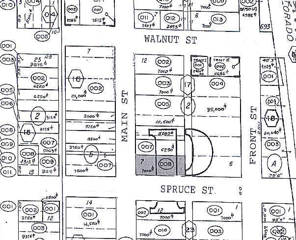
LOT 7 LESS MIN BLK 2 LOUISVILLE O T
1575084-17-008
BOULDER
Commercialnec
Colorado
B and X Area of moderate flood hazard, usually the area between the limits of the 100-year and 500-year floods.
7
2024
0.16 AC
2025
Boulder
060700
Denver
3,530 SF
NEARBY LISTINGS FOR SALE OR LEASE
DEMOGRAPHICS near 800 Main St
1 mile
3 mile
5 mile
2025 Total Population
10,465
58,664
109,131
2030 Population
10,401
58,876
110,716
Pop Growth 2025-2030
(0.61%)
+ 0.36%
+ 1.45%
Average Age
42
41
41
2025 Total Households
4,338
24,079
44,206
HH Growth 2025-2030
(0.60%)
+ 0.56%
+ 1.77%
Median Household Inc
$129,267
$116,458
$118,723
Avg Household Size
2.30
2.40
2.40
2025 Avg HH Vehicles
2.00
2.00
2.00
Median Home Value
$838,519
$797,812
$787,954
Median Year Built
1986
1993
1995
Nearby Places
Map Layers
Map Styles
 Street
 Aerial
Transit
 Traffic
 Biking
Places
Listings with unknown addresses are not visible on the map
- Restaurants
- Banks
- Shops
- Fitness
- Groceries
PUBLIC TRANSPORTATION
AIRPORT
Denver International
Drive
Walk
Distance
Denver International
40 min
34.7 mi
Nearby Properties
Address
Land Use
TOTAL SIZE
Lot Size
Zoning
Address
Land Use
TOTAL SIZE
Lot Size
Zoning
420,330 SF
41.96 AC
A
Address
Land Use
TOTAL SIZE
Lot Size
Zoning
62.60 AC
Address
Land Use
TOTAL SIZE
Lot Size
Zoning
411,485 SF
24.79 AC
Address
Land Use
TOTAL SIZE
Lot Size
Zoning
279.72 AC
A
Address
Land Use
TOTAL SIZE
Lot Size
Zoning
188,092 SF
2.01 AC
Address
Land Use
TOTAL SIZE
Lot Size
Zoning
279,770 SF
34.13 AC
Address
Land Use
TOTAL SIZE
Lot Size
Zoning
233.17 AC
A
Address
Land Use
TOTAL SIZE
Lot Size
Zoning
167,000 SF
20.32 AC
Address
Land Use
TOTAL SIZE
Lot Size
Zoning
42.46 AC
A
Address
Land Use
TOTAL SIZE
Lot Size
Zoning
86.39 AC
Address
Land Use
TOTAL SIZE
Lot Size
Zoning
120,510 SF
11.02 AC
Address
Land Use
TOTAL SIZE
Lot Size
Zoning
111.14 AC
ER
Address
Land Use
TOTAL SIZE
Lot Size
Zoning
153,430 SF
12.16 AC
Address
Land Use
TOTAL SIZE
Lot Size
Zoning
137,435 SF
9.49 AC
Address
Land Use
TOTAL SIZE
Lot Size
Zoning
22.16 AC
Address
Land Use
TOTAL SIZE
Lot Size
Zoning
214,678 SF
10.46 AC
Address
Land Use
TOTAL SIZE
Lot Size
Zoning
113,473 SF
8.59 AC
Address
Land Use
TOTAL SIZE
Lot Size
Zoning
453,015 SF
12.10 AC
B-PUD
Address
Land Use
TOTAL SIZE
Lot Size
Zoning
165,172 SF
11.12 AC
Address
Land Use
TOTAL SIZE
Lot Size
Zoning
446,461 SF
18.19 AC
B-PUD
Address
Land Use
TOTAL SIZE
Lot Size
Zoning
135,508 SF
9.64 AC
Address
Land Use
TOTAL SIZE
Lot Size
Zoning
164,842 SF
10.97 AC
Address
Land Use
TOTAL SIZE
Lot Size
Zoning
74.45 AC
RR
Address
Land Use
TOTAL SIZE
Lot Size
Zoning
109,056 SF
7.76 AC
Address
Land Use
TOTAL SIZE
Lot Size
Zoning
17.81 AC
Address
Land Use
TOTAL SIZE
Lot Size
Zoning
207,248 SF
15.66 AC
Address
Land Use
TOTAL SIZE
Lot Size
Zoning
160,675 SF
7.24 AC
PUD
Address
Land Use
TOTAL SIZE
Lot Size
Zoning
18.77 AC
A
Address
Land Use
TOTAL SIZE
Lot Size
Zoning
76,658 SF
6.40 AC
Address
Land Use
TOTAL SIZE
Lot Size
Zoning
67,551 SF
4.27 AC
The World's #1 Commercial Real Estate Marketplace
Connect with us
© 2026 CoStar Group
The information above has been obtained from sources believed reliable. While we do not doubt its accuracy we have not verified it and make no guarantee, warranty or representation about it. It is your responsibility to independently confirm its accuracy and completeness. Any projections, opinions, assumptions, or estimates used are for example only and do not represent the current or future performance of the property. The value of this transaction to you depends on tax and other factors which should be evaluated by your tax, financial, and legal advisors. You and your advisors should conduct a careful, independent investigation of the property to determine to your satisfaction the suitability of the property for your needs.