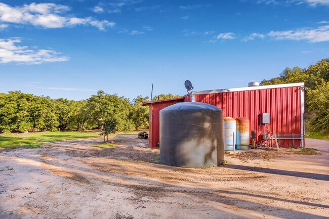
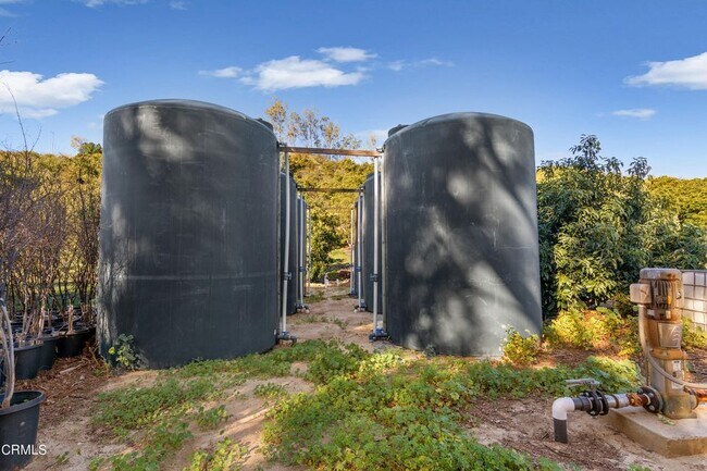
Property Record
8201 Bixby Rd, Somis, CA 93066

NEARBY LISTINGS FOR SALE OR LEASE
Property Detail
8201 Bixby Rd
Oxnard-Thousand Oaks-Ventura, CA
LOT: C REF: 029PM 082
108-0-180-045
Ventura
Orchard
California
X
c
06111C0804F
36.06 AC
2024
Moorpark/Simi Valley
2025
Los Angeles
009300
DEMOGRAPHICS near 8201 Bixby Rd
1 mile
3 mile
5 mile
2024 Total Population
59
681
9,214
2029 Population
56
644
8,932
Pop Growth 2024-2029
(5.08%)
(5.43%)
(3.06%)
Average Age
41
41
40
2024 Total Households
17
192
2,716
HH Growth 2024-2029
(5.88%)
(5.73%)
(3.28%)
Median Household Inc
$149,999
$115,908
$132,327
Avg Household Size
3.30
3.20
3.20
2024 Avg HH Vehicles
3.00
3.00
3.00
Median Home Value
$1,085,714
$1,064,815
$894,239
Median Year Built
1976
1977
1984
Nearby Places
Map Layers
Map Styles
 Street
 Aerial
Transit
 Traffic
 Biking
Places
Listings with unknown addresses are not visible on the map
- Restaurants
- Banks
- Shops
- Fitness
- Groceries
PUBLIC TRANSPORTATION
COMMUTER RAIL
Moorpark (Ventura County Line - Southern California Regional Rail Authority (Metrolink))
Drive
Walk
Distance
Moorpark (Ventura County Line - Southern California Regional Rail Authority (Metrolink))
20 min
9.1 mi
Freight Ports
The Port of Hueneme
Drive
Walk
Distance
The Port of Hueneme
41 min
22.2 mi
SALE & LEASE HISTORY
LISTING DATE
SALE/LEASE

Feb 14, 2022
For Sale
Nearby Properties
Address
Land Use
TOTAL SIZE
Lot Size
Zoning
Address
Land Use
TOTAL SIZE
Lot Size
Zoning
30 AC
AE
Address
Land Use
TOTAL SIZE
Lot Size
Zoning
1,136 SF
306.33 AC
AEA-E/
Address
Land Use
TOTAL SIZE
Lot Size
Zoning
183.96 AC
AE
Address
Land Use
TOTAL SIZE
Lot Size
Zoning
497.22 AC
AEO-S-
Address
Land Use
TOTAL SIZE
Lot Size
Zoning
110.24 AC
AEO-S-
Address
Land Use
TOTAL SIZE
Lot Size
Zoning
19.52 AC
AE
Address
Land Use
TOTAL SIZE
Lot Size
Zoning
87.29 AC
AE
Address
Land Use
TOTAL SIZE
Lot Size
Zoning
222.29 AC
OS20AC
Address
Land Use
TOTAL SIZE
Lot Size
Zoning
13,146 SF
20.75 AC
AE
Address
Land Use
TOTAL SIZE
Lot Size
Zoning
7,413 SF
18.73 AC
AE-40
Address
Land Use
TOTAL SIZE
Lot Size
Zoning
63.47 AC
AE
Address
Land Use
TOTAL SIZE
Lot Size
Zoning
1,870 SF
165.39 AC
OS160AC
Address
Land Use
TOTAL SIZE
Lot Size
Zoning
63 AC
AE
Address
Land Use
TOTAL SIZE
Lot Size
Zoning
39.86 AC
AE
Address
Land Use
TOTAL SIZE
Lot Size
Zoning
13,751 SF
9.06 AC
OS20AC
Address
Land Use
TOTAL SIZE
Lot Size
Zoning
27.26 AC
AE
Address
Land Use
TOTAL SIZE
Lot Size
Zoning
609,840 SF
35.48 AC
Address
Land Use
TOTAL SIZE
Lot Size
Zoning
5,113 SF
20.23 AC
OS20AC
Address
Land Use
TOTAL SIZE
Lot Size
Zoning
23.84 AC
Address
Land Use
TOTAL SIZE
Lot Size
Zoning
4,726 SF
20.23 AC
AE
Address
Land Use
TOTAL SIZE
Lot Size
Zoning
1,611,720 SF
21.42 AC
AE
Address
Land Use
TOTAL SIZE
Lot Size
Zoning
24.25 AC
OS20AC
Address
Land Use
TOTAL SIZE
Lot Size
Zoning
7,953 SF
23.71 AC
AE
Address
Land Use
TOTAL SIZE
Lot Size
Zoning
19.70 AC
AE
Address
Land Use
TOTAL SIZE
Lot Size
Zoning
40.08 AC
AE
Address
Land Use
TOTAL SIZE
Lot Size
Zoning
4,319 SF
28.85 AC
AE
Address
Land Use
TOTAL SIZE
Lot Size
Zoning
67.85 AC
AE
Address
Land Use
TOTAL SIZE
Lot Size
Zoning
2,909 SF
23.51 AC
AE-40
Address
Land Use
TOTAL SIZE
Lot Size
Zoning
14.13 AC
0S10AC
Address
Land Use
TOTAL SIZE
Lot Size
Zoning
26.20 AC
AE
The World's #1 Commercial Real Estate Marketplace
Connect with us
© 2026 CoStar Group
The information above has been obtained from sources believed reliable. While we do not doubt its accuracy we have not verified it and make no guarantee, warranty or representation about it. It is your responsibility to independently confirm its accuracy and completeness. Any projections, opinions, assumptions, or estimates used are for example only and do not represent the current or future performance of the property. The value of this transaction to you depends on tax and other factors which should be evaluated by your tax, financial, and legal advisors. You and your advisors should conduct a careful, independent investigation of the property to determine to your satisfaction the suitability of the property for your needs.