Property Record
826 Perkins Ln, Beverly, NJ 08010


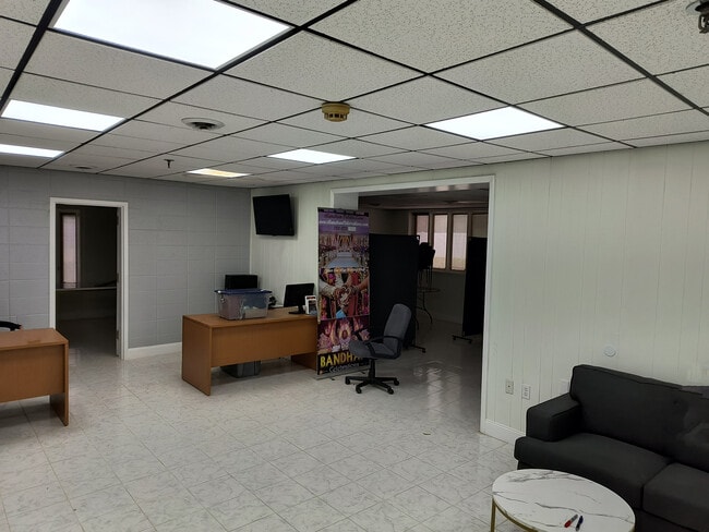

This Property Is For Sale
NEARBY LISTINGS FOR SALE OR LEASE
Property Detail
826 Perkins Ln
12-00203-0000-00007-01
Burlington
Industrialgeneral
New Jersey
AE
7.1
34005C0116F
4.90 AC
2024
Burlington
2025
Philadelphia
701001
Philadelphia-Camden-Wilmington, PA-NJ-DE-MD
DEMOGRAPHICS near 826 Perkins Ln
1 Mile
3 Mile
5 Mile
2024 Total Population
7,143
76,845
236,032
2029 Population
7,285
77,570
235,149
Pop Growth 2024-2029
+ 1.99%
+ 0.94%
(0.37%)
Average Age
42
41
41
2024 Total Households
3,095
29,186
90,298
HH Growth 2024-2029
+ 1.97%
+ 0.90%
(0.54%)
Median Household Inc
$69,787
$79,176
$79,820
Avg Household Size
2.30
2.60
2.50
2024 Avg HH Vehicles
2.00
2.00
2.00
Median Home Value
$220,209
$239,032
$249,495
Median Year Built
1970
1964
1966
Nearby Places
Map Layers
Map Styles
 Street
 Aerial
- Restaurants
- Banks
- Shops
- Fitness
- Groceries
PUBLIC TRANSPORTATION
COMMUTER RAIL
Croydon (R7 - Southeastern Pennsylvania Transportation Authority Regional Rail (SEPTA Regional Rail))
DRIVE
WALK
Distance
Croydon (R7 - Southeastern Pennsylvania Transportation Authority Regional Rail (SEPTA Regional Rail))
17 min
8.4 mi
AIRPORT
Trenton Mercer
DRIVE
WALK
Distance
Trenton Mercer
38 min
22.7 mi
Philadelphia International
DRIVE
WALK
Distance
Philadelphia International
44 min
26.1 mi
Nearby Properties
Address
Land Use
TOTAL SIZE
Lot Size
Zoning
Address
Land Use
TOTAL SIZE
Lot Size
Zoning
1,615,457 SF
119.41 AC
CA2
Address
Land Use
TOTAL SIZE
Lot Size
Zoning
2,183 SF
61.10 AC
Address
Land Use
TOTAL SIZE
Lot Size
Zoning
2,550 SF
63.76 AC
SPPOA
Address
Land Use
TOTAL SIZE
Lot Size
Zoning
39.18 AC
Address
Land Use
TOTAL SIZE
Lot Size
Zoning
5.70 AC
R2
Address
Land Use
TOTAL SIZE
Lot Size
Zoning
22.49 AC
Address
Land Use
TOTAL SIZE
Lot Size
Zoning
22,688 SF
32.55 AC
BLI1
Address
Land Use
TOTAL SIZE
Lot Size
Zoning
Address
Land Use
TOTAL SIZE
Lot Size
Zoning
179,868 SF
11.70 AC
CA2
Address
Land Use
TOTAL SIZE
Lot Size
Zoning
19 AC
Address
Land Use
TOTAL SIZE
Lot Size
Zoning
Address
Land Use
TOTAL SIZE
Lot Size
Zoning
32.72 AC
Address
Land Use
TOTAL SIZE
Lot Size
Zoning
Address
Land Use
TOTAL SIZE
Lot Size
Zoning
376 SF
32.32 AC
B-3
Address
Land Use
TOTAL SIZE
Lot Size
Zoning
19.97 AC
Address
Land Use
TOTAL SIZE
Lot Size
Zoning
253,500 SF
24.28 AC
BLI1
Address
Land Use
TOTAL SIZE
Lot Size
Zoning
1,325 SF
18.73 AC
Address
Land Use
TOTAL SIZE
Lot Size
Zoning
9.65 AC
Address
Land Use
TOTAL SIZE
Lot Size
Zoning
152,835 SF
4.46 AC
RM2
Address
Land Use
TOTAL SIZE
Lot Size
Zoning
3.44 AC
I-2
Address
Land Use
TOTAL SIZE
Lot Size
Zoning
372,324 SF
17 AC
Address
Land Use
TOTAL SIZE
Lot Size
Zoning
130,000 SF
12.50 AC
RM2
Address
Land Use
TOTAL SIZE
Lot Size
Zoning
28.32 AC
CD
Address
Land Use
TOTAL SIZE
Lot Size
Zoning
218,670 SF
16.06 AC
I-2
Address
Land Use
TOTAL SIZE
Lot Size
Zoning
59.32 AC
Address
Land Use
TOTAL SIZE
Lot Size
Zoning
53,009 SF
5.44 AC
RM2
Address
Land Use
TOTAL SIZE
Lot Size
Zoning
10.73 AC
BLI1
Address
Land Use
TOTAL SIZE
Lot Size
Zoning
13.28 AC
Address
Land Use
TOTAL SIZE
Lot Size
Zoning
1,384 SF
15.47 AC
Address
Land Use
TOTAL SIZE
Lot Size
Zoning
208,036 SF
28.81 AC
The World's #1 Commercial Real Estate Marketplace
Connect with us
© 2026 CoStar Group
The information above has been obtained from sources believed reliable. While we do not doubt its accuracy we have not verified it and make no guarantee, warranty or representation about it. It is your responsibility to independently confirm its accuracy and completeness. Any projections, opinions, assumptions, or estimates used are for example only and do not represent the current or future performance of the property. The value of this transaction to you depends on tax and other factors which should be evaluated by your tax, financial, and legal advisors. You and your advisors should conduct a careful, independent investigation of the property to determine to your satisfaction the suitability of the property for your needs.