Property Record
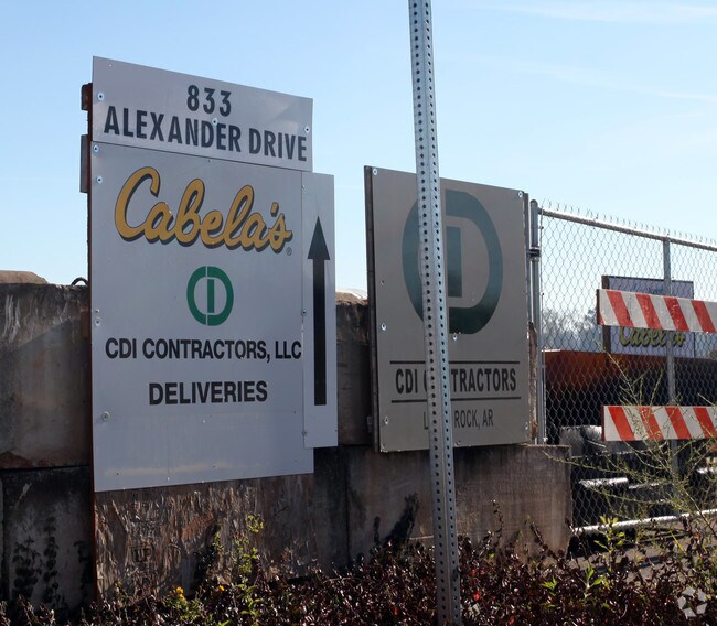
833 Cabela Dr, Augusta, GA 30909


Property Detail
833 Cabela Dr
0082001000 01
833 CABELA DR LOT 7
Commercialacreage
RICHMOND
LI
Georgia
A Areas with a 1% annual chance of flooding and a 26% chance of flooding over the life of a 30-year mortgage.
7
2025
5.85 AC
2025
North Richmond County
010101
Augusta/Richmond County
42,282 SF
Augusta-Richmond County, GA-SC
NEARBY LISTINGS FOR SALE OR LEASE
DEMOGRAPHICS near 833 Cabela Dr
1 mile
3 mile
5 mile
2025 Total Population
3,243
36,002
117,473
2030 Population
3,240
36,540
120,556
Pop Growth 2025-2030
(0.09%)
+ 1.49%
+ 2.62%
Average Age
37
40
41
2025 Total Households
1,644
16,268
51,274
HH Growth 2025-2030
0.00%
+ 1.15%
+ 2.42%
Median Household Inc
$73,652
$80,875
$71,578
Avg Household Size
1.90
2.20
2.20
2025 Avg HH Vehicles
2.00
2.00
2.00
Median Home Value
$193,959
$289,112
$265,166
Median Year Built
1990
1984
1979
Nearby Places
Map Layers
Map Styles
 Street
 Aerial
Layers
 Traffic
 Biking
Places
Listings with unknown addresses are not visible on the map
- Restaurants
- Banks
- Shops
- Fitness
- Groceries
PUBLIC TRANSPORTATION
AIRPORT
Augusta Regional at Bush Field
Drive
Walk
Distance
Augusta Regional at Bush Field
28 min
13.2 mi
Freight Ports
Georgia Ports - Savannah
Drive
Walk
Distance
Georgia Ports - Savannah
164 min
127.0 mi
Nearby Properties
Address
Land Use
TOTAL SIZE
Lot Size
Zoning
Address
Land Use
TOTAL SIZE
Lot Size
Zoning
8,993 SF
351.84 AC
R-1_B-2
Address
Land Use
TOTAL SIZE
Lot Size
Zoning
4,214 SF
12.73 AC
LI_B-2
Address
Land Use
TOTAL SIZE
Lot Size
Zoning
6,694 SF
17.75 AC
R-3B
Address
Land Use
TOTAL SIZE
Lot Size
Zoning
33,784 SF
22.27 AC
B-2
Address
Land Use
TOTAL SIZE
Lot Size
Zoning
6,516 SF
15.33 AC
R-3B
Address
Land Use
TOTAL SIZE
Lot Size
Zoning
2,326 SF
21.90 AC
R-3B
Address
Land Use
TOTAL SIZE
Lot Size
Zoning
Address
Land Use
TOTAL SIZE
Lot Size
Zoning
3,447 SF
16.67 AC
R-3B
Address
Land Use
TOTAL SIZE
Lot Size
Zoning
61,769 SF
12.06 AC
B-2
Address
Land Use
TOTAL SIZE
Lot Size
Zoning
150,807 SF
16.91 AC
R-1A SPEX
Address
Land Use
TOTAL SIZE
Lot Size
Zoning
114,153 SF
12.91 AC
B-2
Address
Land Use
TOTAL SIZE
Lot Size
Zoning
66,300 SF
18.22 AC
B-1
Address
Land Use
TOTAL SIZE
Lot Size
Zoning
25,504 SF
9.87 AC
B-2
Address
Land Use
TOTAL SIZE
Lot Size
Zoning
2,355 SF
12.97 AC
B-2
Address
Land Use
TOTAL SIZE
Lot Size
Zoning
6,424 SF
15.16 AC
R-3C
Address
Land Use
TOTAL SIZE
Lot Size
Zoning
68,640 SF
12.02 AC
R-3B
Address
Land Use
TOTAL SIZE
Lot Size
Zoning
143,547 SF
9.88 AC
B-2
Address
Land Use
TOTAL SIZE
Lot Size
Zoning
79,224 SF
2.90 AC
B-2
Address
Land Use
TOTAL SIZE
Lot Size
Zoning
20,736 SF
15.51 AC
R-3B
Address
Land Use
TOTAL SIZE
Lot Size
Zoning
16,914 SF
29.85 AC
R-1
Address
Land Use
TOTAL SIZE
Lot Size
Zoning
82,224 SF
2.69 AC
B-2
Address
Land Use
TOTAL SIZE
Lot Size
Zoning
77,830 SF
4.12 AC
B-2
Address
Land Use
TOTAL SIZE
Lot Size
Zoning
18,402 SF
10 AC
B-1 SPEX
Address
Land Use
TOTAL SIZE
Lot Size
Zoning
2,066 SF
11.52 AC
R-3B
Address
Land Use
TOTAL SIZE
Lot Size
Zoning
34,080 SF
12 AC
B-2
Address
Land Use
TOTAL SIZE
Lot Size
Zoning
36.89 AC
Address
Land Use
TOTAL SIZE
Lot Size
Zoning
106,400 SF
13.53 AC
002
Address
Land Use
TOTAL SIZE
Lot Size
Zoning
69,288 SF
39.14 AC
Address
Land Use
TOTAL SIZE
Lot Size
Zoning
75,295 SF
8.37 AC
LI
Address
Land Use
TOTAL SIZE
Lot Size
Zoning
65,842 SF
1.67 AC
002
The World's #1 Commercial Real Estate Marketplace
Connect with us
© 2026 CoStar Group
The information above has been obtained from sources believed reliable. While we do not doubt its accuracy we have not verified it and make no guarantee, warranty or representation about it. It is your responsibility to independently confirm its accuracy and completeness. Any projections, opinions, assumptions, or estimates used are for example only and do not represent the current or future performance of the property. The value of this transaction to you depends on tax and other factors which should be evaluated by your tax, financial, and legal advisors. You and your advisors should conduct a careful, independent investigation of the property to determine to your satisfaction the suitability of the property for your needs.