Property Record
8401 Baseline Rd, Boulder, CO 80303
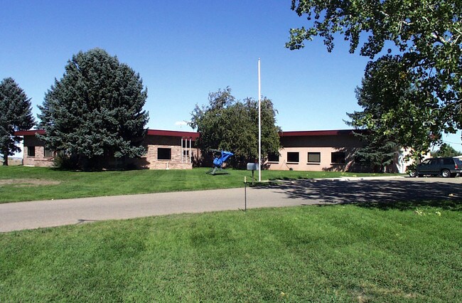

Property Detail
8401 Baseline Rd
1465310-00-017
POR E1/2 W1/2 SE1/4 LESS 4 ACS S RR & S 1000 FT OF W1/2 W1/2 SE1/4 LESS 3/4 ACS TO CITY SEE SPLIT 104624 INCLUDES 32 X 32 FT WELL & PUMPHOUSE PARCEL
Industrialgeneral
Boulder
LI
Colorado
B and X Area of moderate flood hazard, usually the area between the limits of the 100-year and 500-year floods.
24.06 AC
2023
Boulder County
2025
Denver
013003
Boulder, CO
18,588 SF
NEARBY LISTINGS FOR SALE OR LEASE
DEMOGRAPHICS near 8401 Baseline Rd
1 mile
3 mile
5 mile
2025 Total Population
1,928
35,087
106,575
2030 Population
1,905
34,761
106,733
Pop Growth 2025-2030
(1.19%)
(0.93%)
+ 0.15%
Average Age
45
43
41
2025 Total Households
781
14,045
43,042
HH Growth 2025-2030
(1.28%)
(0.97%)
+ 0.21%
Median Household Inc
$117,086
$143,426
$116,619
Avg Household Size
2.50
2.40
2.40
2025 Avg HH Vehicles
2.00
2.00
2.00
Median Home Value
$973,974
$871,872
$814,016
Median Year Built
1983
1989
1990
Nearby Places
Map Layers
Map Styles
 Street
 Aerial
Layers
 Traffic
 Biking
Places
Listings with unknown addresses are not visible on the map
- Restaurants
- Banks
- Shops
- Fitness
- Groceries
PUBLIC TRANSPORTATION
AIRPORT
Denver International
Drive
Walk
Distance
Denver International
45 min
36.5 mi
Freight Ports
Tulsa Port Of Catoosa
Drive
Walk
Distance
Tulsa Port Of Catoosa
751 min
730.7 mi
SALE & LEASE HISTORY
LISTING DATE
SALE/LEASE

Dec 13, 2018
For Lease
Nearby Properties
Address
Land Use
TOTAL SIZE
Lot Size
Zoning
Address
Land Use
TOTAL SIZE
Lot Size
Zoning
520,605 SF
42.57 AC
C
Address
Land Use
TOTAL SIZE
Lot Size
Zoning
186.43 AC
RR
Address
Land Use
TOTAL SIZE
Lot Size
Zoning
576 SF
175.05 AC
A
Address
Land Use
TOTAL SIZE
Lot Size
Zoning
421,230 SF
24.79 AC
Address
Land Use
TOTAL SIZE
Lot Size
Zoning
69.99 AC
ER
Address
Land Use
TOTAL SIZE
Lot Size
Zoning
107.63 AC
A
Address
Land Use
TOTAL SIZE
Lot Size
Zoning
29.20 AC
RR
Address
Land Use
TOTAL SIZE
Lot Size
Zoning
86.39 AC
Address
Land Use
TOTAL SIZE
Lot Size
Zoning
42.12 AC
ER
Address
Land Use
TOTAL SIZE
Lot Size
Zoning
86.70 AC
A
Address
Land Use
TOTAL SIZE
Lot Size
Zoning
167,000 SF
20.32 AC
Address
Land Use
TOTAL SIZE
Lot Size
Zoning
111.14 AC
ER
Address
Land Use
TOTAL SIZE
Lot Size
Zoning
61.98 AC
A
Address
Land Use
TOTAL SIZE
Lot Size
Zoning
57.42 AC
ER
Address
Land Use
TOTAL SIZE
Lot Size
Zoning
74.45 AC
RR
Address
Land Use
TOTAL SIZE
Lot Size
Zoning
23.07 AC
A
Address
Land Use
TOTAL SIZE
Lot Size
Zoning
46.05 AC
Address
Land Use
TOTAL SIZE
Lot Size
Zoning
73.97 AC
A
Address
Land Use
TOTAL SIZE
Lot Size
Zoning
58,369 SF
21.19 AC
Address
Land Use
TOTAL SIZE
Lot Size
Zoning
39.66 AC
ER
Address
Land Use
TOTAL SIZE
Lot Size
Zoning
107,468 SF
15.29 AC
Address
Land Use
TOTAL SIZE
Lot Size
Zoning
79,980 SF
10.02 AC
Address
Land Use
TOTAL SIZE
Lot Size
Zoning
65,000 SF
5.91 AC
Address
Land Use
TOTAL SIZE
Lot Size
Zoning
36.81 AC
RR
Address
Land Use
TOTAL SIZE
Lot Size
Zoning
37.91 AC
Address
Land Use
TOTAL SIZE
Lot Size
Zoning
65.53 AC
Address
Land Use
TOTAL SIZE
Lot Size
Zoning
51.39 AC
Address
Land Use
TOTAL SIZE
Lot Size
Zoning
200,885 SF
17.84 AC
Address
Land Use
TOTAL SIZE
Lot Size
Zoning
Address
Land Use
TOTAL SIZE
Lot Size
Zoning
24.67 AC
A
The World's #1 Commercial Real Estate Marketplace
Connect with us
© 2026 CoStar Group
The information above has been obtained from sources believed reliable. While we do not doubt its accuracy we have not verified it and make no guarantee, warranty or representation about it. It is your responsibility to independently confirm its accuracy and completeness. Any projections, opinions, assumptions, or estimates used are for example only and do not represent the current or future performance of the property. The value of this transaction to you depends on tax and other factors which should be evaluated by your tax, financial, and legal advisors. You and your advisors should conduct a careful, independent investigation of the property to determine to your satisfaction the suitability of the property for your needs.