Property Record
850 Dogwood Rd, Lawrenceville, GA 30044


Save to a Folder
{{folder.Name}}
{{folder.ListingIds.length}} Properties
{{folder.ListingIds.length}} Property
Create a New Folder
Property Detail
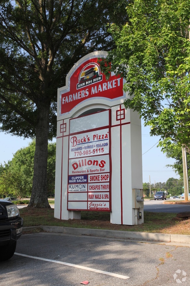
850 Dogwood Rd
5-012-222
OAK ROAD
Regionalshoppingcenterormallwithanchorstore
Gwinnett
C2
Georgia
B and X Area of moderate flood hazard, usually the area between the limits of the 100-year and 500-year floods.
10.03 AC
2025
Lilburn/Snellville
2025
Atlanta
050760
Atlanta-Sandy Springs-Roswell, GA
82,087 SF
NEARBY LISTINGS FOR SALE OR LEASE
DEMOGRAPHICS near 850 Dogwood Rd
1 mile
3 mile
5 mile
2025 Total Population
8,117
79,544
234,654
2030 Population
8,433
82,802
244,623
Pop Growth 2025-2030
+ 3.89%
+ 4.10%
+ 4.25%
Average Age
40
38
38
2025 Total Households
2,614
24,711
76,054
HH Growth 2025-2030
+ 4.02%
+ 4.16%
+ 4.36%
Median Household Inc
$119,374
$98,287
$83,678
Avg Household Size
3.10
3.10
3.00
2025 Avg HH Vehicles
2.00
2.00
2.00
Median Home Value
$401,846
$389,111
$366,870
Median Year Built
1986
1989
1990
Nearby Places
Map Layers
Map Styles
 Street
 Aerial
Layers
 Traffic
 Biking
Places
Listings with unknown addresses are not visible on the map
- Restaurants
- Banks
- Shops
- Fitness
- Groceries
PUBLIC TRANSPORTATION
AIRPORT
Hartsfield - Jackson Atlanta International
Drive
Walk
Distance
Hartsfield - Jackson Atlanta International
51 min
32.6 mi
Freight Ports
Georgia Ports - Savannah
Drive
Walk
Distance
Georgia Ports - Savannah
304 min
264.5 mi
SALE & LEASE HISTORY
LISTING DATE
SALE/LEASE

Sep 24, 2016
For Lease
Jun 19, 2018
For Lease
Nearby Properties
Address
Land Use
TOTAL SIZE
Lot Size
Zoning
Address
Land Use
TOTAL SIZE
Lot Size
Zoning
362,674 SF
43.59 AC
CI
Address
Land Use
TOTAL SIZE
Lot Size
Zoning
470,856 SF
34.99 AC
RM13
Address
Land Use
TOTAL SIZE
Lot Size
Zoning
313,246 SF
17.15 AC
RM13
Address
Land Use
TOTAL SIZE
Lot Size
Zoning
245,208 SF
15.37 AC
RO
Address
Land Use
TOTAL SIZE
Lot Size
Zoning
300,402 SF
24.55 AC
RM13
Address
Land Use
TOTAL SIZE
Lot Size
Zoning
230,417 SF
24.09 AC
BG
Address
Land Use
TOTAL SIZE
Lot Size
Zoning
214,082 SF
18.56 AC
BG
Address
Land Use
TOTAL SIZE
Lot Size
Zoning
140,309 SF
26.34 AC
R75
Address
Land Use
TOTAL SIZE
Lot Size
Zoning
148,880 SF
23.15 AC
R100
Address
Land Use
TOTAL SIZE
Lot Size
Zoning
125,097 SF
1.01 AC
CI
Address
Land Use
TOTAL SIZE
Lot Size
Zoning
357,243 SF
59.63 AC
R100
Address
Land Use
TOTAL SIZE
Lot Size
Zoning
123,713 SF
5.97 AC
C2
Address
Land Use
TOTAL SIZE
Lot Size
Zoning
53,071 SF
142.06 AC
R75
Address
Land Use
TOTAL SIZE
Lot Size
Zoning
38,438 SF
130.10 AC
R100
Address
Land Use
TOTAL SIZE
Lot Size
Zoning
97,856 SF
8.72 AC
C2
Address
Land Use
TOTAL SIZE
Lot Size
Zoning
206,183 SF
25.75 AC
C2
Address
Land Use
TOTAL SIZE
Lot Size
Zoning
122,201 SF
10.23 AC
BG
Address
Land Use
TOTAL SIZE
Lot Size
Zoning
100,913 SF
8.30 AC
HSB
Address
Land Use
TOTAL SIZE
Lot Size
Zoning
106,114 SF
16.59 AC
C2
Address
Land Use
TOTAL SIZE
Lot Size
Zoning
97,411 SF
8.47 AC
BG
Address
Land Use
TOTAL SIZE
Lot Size
Zoning
55,810 SF
8.28 AC
R100
Address
Land Use
TOTAL SIZE
Lot Size
Zoning
89,686 SF
18.29 AC
C2
Address
Land Use
TOTAL SIZE
Lot Size
Zoning
61,200 SF
0.59 AC
CI
Address
Land Use
TOTAL SIZE
Lot Size
Zoning
66,544 SF
6.70 AC
BG
Address
Land Use
TOTAL SIZE
Lot Size
Zoning
77,284 SF
3.93 AC
C2
Address
Land Use
TOTAL SIZE
Lot Size
Zoning
68,193 SF
3.05 AC
BG
Address
Land Use
TOTAL SIZE
Lot Size
Zoning
230,323 SF
15 AC
R100
Address
Land Use
TOTAL SIZE
Lot Size
Zoning
83,316 SF
7 AC
R100
Address
Land Use
TOTAL SIZE
Lot Size
Zoning
88,110 SF
8.01 AC
C2
The World's #1 Commercial Real Estate Marketplace
Connect with us
© 2026 CoStar Group
The information above has been obtained from sources believed reliable. While we do not doubt its accuracy we have not verified it and make no guarantee, warranty or representation about it. It is your responsibility to independently confirm its accuracy and completeness. Any projections, opinions, assumptions, or estimates used are for example only and do not represent the current or future performance of the property. The value of this transaction to you depends on tax and other factors which should be evaluated by your tax, financial, and legal advisors. You and your advisors should conduct a careful, independent investigation of the property to determine to your satisfaction the suitability of the property for your needs.