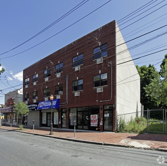
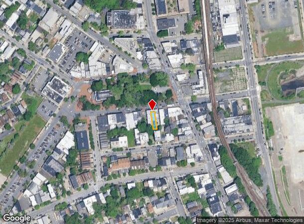
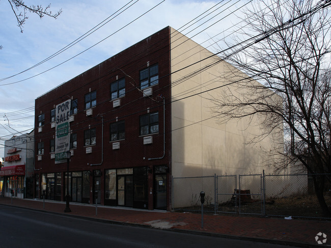
Property Record
86 Canal St, Staten Island, NY 10304
NEARBY LISTINGS FOR SALE OR LEASE
Property Detail
86 Canal St
00524-0018
Staten Island
Storebuilding
New York
X
18
3604970189F
0.05 AC
2024
Staten Island
2025
Long Island (New York)
002700
New York-Jersey City-White Plains, NY-NJ
4,750 SF
DEMOGRAPHICS near 86 Canal St
1 Mile
3 Mile
5 Mile
2024 Total Population
42,919
257,123
825,756
2029 Population
42,483
250,406
780,731
Pop Growth 2024-2029
(1.02%)
(2.61%)
(5.45%)
Average Age
38
41
39
2024 Total Households
14,646
95,782
278,338
HH Growth 2024-2029
(0.93%)
(2.92%)
(5.59%)
Median Household Inc
$55,542
$77,476
$69,388
Avg Household Size
2.70
2.60
2.80
2024 Avg HH Vehicles
1.00
1.00
1.00
Median Home Value
$527,055
$673,644
$688,424
Median Year Built
1961
1954
1950
Nearby Places
- Restaurants
- Banks
- Shops
- Fitness
- Groceries
PUBLIC TRANSPORTATION
TRANSIT/SUBWAY
Stapleton (Staten Island Railway - New York MTA Subway (The Subway))
DRIVE
WALK
Distance
Stapleton (Staten Island Railway - New York MTA Subway (The Subway))
1 min
3 min
0.2 mi
Clifton (Staten Island Railway - New York MTA Subway (The Subway))
DRIVE
WALK
Distance
Clifton (Staten Island Railway - New York MTA Subway (The Subway))
1 min
9 min
0.4 mi
Tompkinsville (Staten Island Railway - New York MTA Subway (The Subway))
DRIVE
WALK
Distance
Tompkinsville (Staten Island Railway - New York MTA Subway (The Subway))
3 min
17 min
0.9 mi
COMMUTER RAIL
Stapleton (Staten Island Railway - New York MTA Subway (The Subway))
DRIVE
WALK
Distance
Stapleton (Staten Island Railway - New York MTA Subway (The Subway))
1 min
3 min
0.2 mi
Clifton (Staten Island Railway - New York MTA Subway (The Subway))
DRIVE
WALK
Distance
Clifton (Staten Island Railway - New York MTA Subway (The Subway))
1 min
10 min
0.5 mi
AIRPORT
Newark Liberty International
DRIVE
WALK
Distance
Newark Liberty International
29 min
15.0 mi
LaGuardia
DRIVE
WALK
Distance
LaGuardia
39 min
21.8 mi
John F Kennedy International
DRIVE
WALK
Distance
John F Kennedy International
38 min
24.5 mi
Freight Ports
New York Container Terminal
DRIVE
WALK
Distance
New York Container Terminal
15 min
7.7 mi
Nearby Properties
Address
Land Use
TOTAL SIZE
Lot Size
Zoning
Address
Land Use
TOTAL SIZE
Lot Size
Zoning
22.49 AC
HC
Address
Land Use
TOTAL SIZE
Lot Size
Zoning
1,524,659 SF
170.96 AC
R4
Address
Land Use
TOTAL SIZE
Lot Size
Zoning
640,077 SF
19.34 AC
R3-1
Address
Land Use
TOTAL SIZE
Lot Size
Zoning
30.92 AC
Address
Land Use
TOTAL SIZE
Lot Size
Zoning
17.60 AC
Address
Land Use
TOTAL SIZE
Lot Size
Zoning
114.66 AC
BMHO
Address
Land Use
TOTAL SIZE
Lot Size
Zoning
115.33 AC
IH
Address
Land Use
TOTAL SIZE
Lot Size
Zoning
236,591 SF
207.66 AC
R3-2
Address
Land Use
TOTAL SIZE
Lot Size
Zoning
73.86 AC
IH
Address
Land Use
TOTAL SIZE
Lot Size
Zoning
538,240 SF
12.08 AC
R2
Address
Land Use
TOTAL SIZE
Lot Size
Zoning
5,359,400 SF
59.07 AC
M2-1
Address
Land Use
TOTAL SIZE
Lot Size
Zoning
25.67 AC
Address
Land Use
TOTAL SIZE
Lot Size
Zoning
286,000 SF
12.63 AC
PARK
Address
Land Use
TOTAL SIZE
Lot Size
Zoning
521,405 SF
52.79 AC
R3-1
Address
Land Use
TOTAL SIZE
Lot Size
Zoning
111,000 SF
186.03 AC
PARK
Address
Land Use
TOTAL SIZE
Lot Size
Zoning
48.68 AC
IH
Address
Land Use
TOTAL SIZE
Lot Size
Zoning
Address
Land Use
TOTAL SIZE
Lot Size
Zoning
492,962 SF
8.12 AC
M1-1
Address
Land Use
TOTAL SIZE
Lot Size
Zoning
11 AC
WR
Address
Land Use
TOTAL SIZE
Lot Size
Zoning
19.26 AC
IH
Address
Land Use
TOTAL SIZE
Lot Size
Zoning
183,839 SF
9.74 AC
PARK
Address
Land Use
TOTAL SIZE
Lot Size
Zoning
23.72 AC
IH
Address
Land Use
TOTAL SIZE
Lot Size
Zoning
26,826 SF
9 AC
IH
Address
Land Use
TOTAL SIZE
Lot Size
Zoning
41.25 AC
IH
Address
Land Use
TOTAL SIZE
Lot Size
Zoning
183,215 SF
3.47 AC
C4-2
Address
Land Use
TOTAL SIZE
Lot Size
Zoning
119.28 AC
Address
Land Use
TOTAL SIZE
Lot Size
Zoning
152,440 SF
23.07 AC
R4B
Address
Land Use
TOTAL SIZE
Lot Size
Zoning
240 SF
47.41 AC
R3-2
Address
Land Use
TOTAL SIZE
Lot Size
Zoning
476,145 SF
50.97 AC
R3-1
Address
Land Use
TOTAL SIZE
Lot Size
Zoning
43,068 SF
216.83 AC
PARK
The World's #1 Commercial Real Estate Marketplace
Connect with us
© 2025 CoStar Group
The information above has been obtained from sources believed reliable. While we do not doubt its accuracy we have not verified it and make no guarantee, warranty or representation about it. It is your responsibility to independently confirm its accuracy and completeness. Any projections, opinions, assumptions, or estimates used are for example only and do not represent the current or future performance of the property. The value of this transaction to you depends on tax and other factors which should be evaluated by your tax, financial, and legal advisors. You and your advisors should conduct a careful, independent investigation of the property to determine to your satisfaction the suitability of the property for your needs.