Property Record
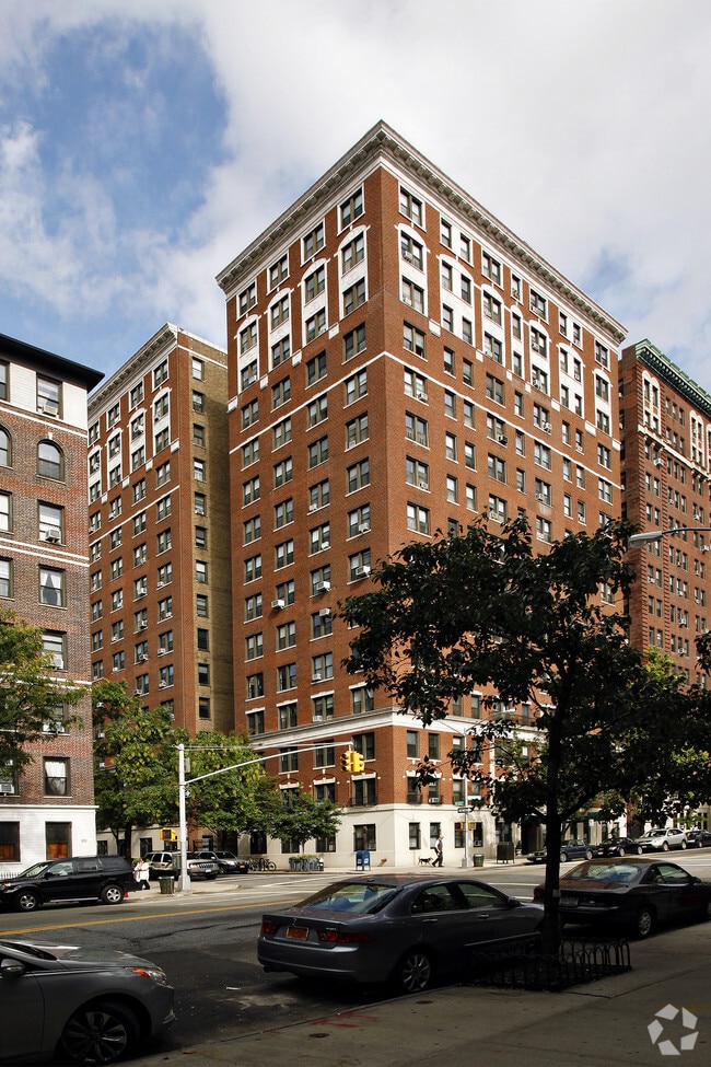
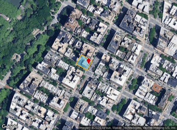
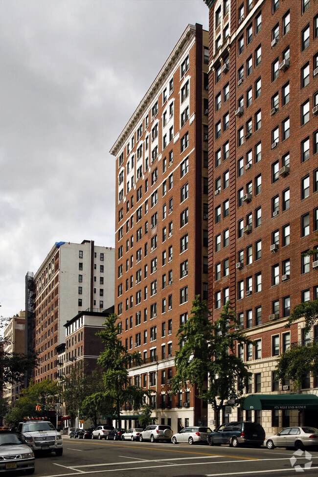
865 W End Ave, New York, NY 10025

NEARBY LISTINGS FOR SALE OR LEASE
Property Detail
865 W End Ave
1890-0015
Manhattan
Apartment
New York
X
15
34003C0286H
0.28 AC
2024
Upper West Side
2025
New York City
019100
New York-Jersey City-White Plains, NY-NJ
143,604 SF
DEMOGRAPHICS near 865 W End Ave
1 Mile
3 Mile
5 Mile
2024 Total Population
146,672
1,104,138
2,451,761
2029 Population
134,327
1,026,691
2,298,425
Pop Growth 2024-2029
(8.42%)
(7.01%)
(6.25%)
Average Age
43
42
40
2024 Total Households
66,374
503,567
1,074,787
HH Growth 2024-2029
(8.75%)
(7.28%)
(6.60%)
Median Household Inc
$93,935
$78,827
$75,346
Avg Household Size
2.00
2.10
2.20
2024 Avg HH Vehicles
.00
.00
.00
Median Home Value
$1,013,616
$885,653
$809,319
Median Year Built
1947
1956
1956
Nearby Places
Map Layers
Map Styles
 Street
 Aerial
- Restaurants
- Banks
- Shops
- Fitness
- Groceries
PUBLIC TRANSPORTATION
TRANSIT/SUBWAY
103 Street (1 Line) (1 - New York MTA Subway (The Subway))
DRIVE
WALK
Distance
103 Street (1 Line) (1 - New York MTA Subway (The Subway))
0 min
2 min
0.1 mi
96 Street (1,2,3 Line) (1 - New York MTA Subway (The Subway), 2 - New York MTA Subway (The Subway), 3 - New York MTA Subway (The Subway))
DRIVE
WALK
Distance
96 Street (1,2,3 Line) (1 - New York MTA Subway (The Subway), 2 - New York MTA Subway (The Subway), 3 - New York MTA Subway (The Subway))
1 min
7 min
0.4 mi
Cathedral Parkway (110 Street) (1 Line) (1 - New York MTA Subway (The Subway))
DRIVE
WALK
Distance
Cathedral Parkway (110 Street) (1 Line) (1 - New York MTA Subway (The Subway))
1 min
7 min
0.4 mi
103 Street (A,B,C Line) (A - New York MTA Subway (The Subway), B - New York MTA Subway (The Subway), C - New York MTA Subway (The Subway))
DRIVE
WALK
Distance
103 Street (A,B,C Line) (A - New York MTA Subway (The Subway), B - New York MTA Subway (The Subway), C - New York MTA Subway (The Subway))
2 min
11 min
0.6 mi
96 Street (A,B,C Line) (A - New York MTA Subway (The Subway), B - New York MTA Subway (The Subway), C - New York MTA Subway (The Subway))
DRIVE
WALK
Distance
96 Street (A,B,C Line) (A - New York MTA Subway (The Subway), B - New York MTA Subway (The Subway), C - New York MTA Subway (The Subway))
2 min
15 min
0.8 mi
COMMUTER RAIL
Harlem-125Th Street Station (Harlem Line - Metro-North Commuter Railroad Company (Metro-North), Hudson Line - Metro-North Commuter Railroad Company (Metro-North), New Haven Line - Metro-North Commuter Railroad Company (Metro-North))
DRIVE
WALK
Distance
Harlem-125Th Street Station (Harlem Line - Metro-North Commuter Railroad Company (Metro-North), Hudson Line - Metro-North Commuter Railroad Company (Metro-North), New Haven Line - Metro-North Commuter Railroad Company (Metro-North))
6 min
2.6 mi
Yankees-E 153Rd Street Station (Hudson Line - Metro-North Commuter Railroad Company (Metro-North))
DRIVE
WALK
Distance
Yankees-E 153Rd Street Station (Hudson Line - Metro-North Commuter Railroad Company (Metro-North))
10 min
4.1 mi
AIRPORT
LaGuardia
DRIVE
WALK
Distance
LaGuardia
18 min
8.4 mi
Newark Liberty International
DRIVE
WALK
Distance
Newark Liberty International
27 min
17.1 mi
John F Kennedy International
DRIVE
WALK
Distance
John F Kennedy International
31 min
19.6 mi
Freight Ports
NY - Red Hook Container Terminal
DRIVE
WALK
Distance
NY - Red Hook Container Terminal
26 min
10.7 mi
SALE & LEASE HISTORY
LISTING DATE
SALE/LEASE

Nov 03, 2021
For Lease
Nearby Properties
Address
Land Use
TOTAL SIZE
Lot Size
Zoning
Address
Land Use
TOTAL SIZE
Lot Size
Zoning
1,783,434 SF
1.94 AC
C5-3
Address
Land Use
TOTAL SIZE
Lot Size
Zoning
2,636,182 SF
2.35 AC
C65.5
Address
Land Use
TOTAL SIZE
Lot Size
Zoning
2,734,038 SF
4.24 AC
C52.5
Address
Land Use
TOTAL SIZE
Lot Size
Zoning
1,897,491 SF
2.06 AC
C52.5
Address
Land Use
TOTAL SIZE
Lot Size
Zoning
1,233,684 SF
16.94 AC
PARK
Address
Land Use
TOTAL SIZE
Lot Size
Zoning
1,638,259 SF
1.43 AC
C52.5
Address
Land Use
TOTAL SIZE
Lot Size
Zoning
2,360,627 SF
2.08 AC
C6-7
Address
Land Use
TOTAL SIZE
Lot Size
Zoning
1,984,228 SF
1.95 AC
C65.5
Address
Land Use
TOTAL SIZE
Lot Size
Zoning
1,962,900 SF
1.89 AC
C66.5
Address
Land Use
TOTAL SIZE
Lot Size
Zoning
1,842,991 SF
2.08 AC
C66.5
Address
Land Use
TOTAL SIZE
Lot Size
Zoning
400,160 SF
10.96 AC
R7-2
Address
Land Use
TOTAL SIZE
Lot Size
Zoning
1,613,847 SF
1.84 AC
C66.5
Address
Land Use
TOTAL SIZE
Lot Size
Zoning
2,215,000 SF
6.43 AC
R9
Address
Land Use
TOTAL SIZE
Lot Size
Zoning
1,596,521 SF
1.34 AC
C6-4
Address
Land Use
TOTAL SIZE
Lot Size
Zoning
264,420 SF
7.26 AC
C4-7
Address
Land Use
TOTAL SIZE
Lot Size
Zoning
431,963 SF
C67T
Address
Land Use
TOTAL SIZE
Lot Size
Zoning
1,649,604 SF
1.51 AC
C67T
Address
Land Use
TOTAL SIZE
Lot Size
Zoning
1,606,528 SF
1.84 AC
C6-6
Address
Land Use
TOTAL SIZE
Lot Size
Zoning
1,169,666 SF
1.42 AC
C52.5
Address
Land Use
TOTAL SIZE
Lot Size
Zoning
1,482,208 SF
1.71 AC
C5-3
Address
Land Use
TOTAL SIZE
Lot Size
Zoning
1,160,500 SF
1.62 AC
C6-6
Address
Land Use
TOTAL SIZE
Lot Size
Zoning
1,642,441 SF
3.26 AC
C52.5
Address
Land Use
TOTAL SIZE
Lot Size
Zoning
2,230,742 SF
6.33 AC
R9
Address
Land Use
TOTAL SIZE
Lot Size
Zoning
1,015,287 SF
1 AC
C5-3
Address
Land Use
TOTAL SIZE
Lot Size
Zoning
637,863 SF
C6-6
Address
Land Use
TOTAL SIZE
Lot Size
Zoning
174 AC
P2
Address
Land Use
TOTAL SIZE
Lot Size
Zoning
822,014 SF
1.38 AC
C52.5
Address
Land Use
TOTAL SIZE
Lot Size
Zoning
539,643 SF
C5-2
Address
Land Use
TOTAL SIZE
Lot Size
Zoning
1,033,031 SF
1.87 AC
C52.5
Address
Land Use
TOTAL SIZE
Lot Size
Zoning
685,125 SF
0.85 AC
C5-3
The World's #1 Commercial Real Estate Marketplace
Connect with us
© 2025 CoStar Group
The information above has been obtained from sources believed reliable. While we do not doubt its accuracy we have not verified it and make no guarantee, warranty or representation about it. It is your responsibility to independently confirm its accuracy and completeness. Any projections, opinions, assumptions, or estimates used are for example only and do not represent the current or future performance of the property. The value of this transaction to you depends on tax and other factors which should be evaluated by your tax, financial, and legal advisors. You and your advisors should conduct a careful, independent investigation of the property to determine to your satisfaction the suitability of the property for your needs.