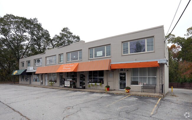
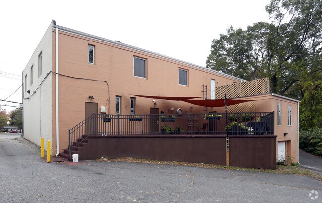
Property Record
891 Post Rd, Warwick, RI 02888

Property Detail
891 Post Rd
Commercialbuilding
Kent
GB
Rhode Island
B and X Area of moderate flood hazard, usually the area between the limits of the 100-year and 500-year floods.
0.47 AC
2025
Warwick
2025
Providence
021001
Providence-Warwick, RI-MA
8,300 SF
WARW-000295-000403-000000
NEARBY LISTINGS FOR SALE OR LEASE
DEMOGRAPHICS near 891 Post Rd
1 mile
3 mile
5 mile
2025 Total Population
11,077
94,630
281,676
2030 Population
11,098
96,467
288,093
Pop Growth 2025-2030
+ 0.19%
+ 1.94%
+ 2.28%
Average Age
42
42
41
2025 Total Households
4,640
37,776
113,273
HH Growth 2025-2030
+ 0.19%
+ 1.95%
+ 2.44%
Median Household Inc
$94,181
$82,715
$77,327
Avg Household Size
2.30
2.40
2.40
2025 Avg HH Vehicles
2.00
2.00
2.00
Median Home Value
$313,682
$359,549
$363,145
Median Year Built
1954
1952
1955
Nearby Places
Map Layers
Map Styles
 Street
 Aerial
Transit
 Traffic
 Biking
Places
Listings with unknown addresses are not visible on the map
- Restaurants
- Banks
- Shops
- Fitness
- Groceries
PUBLIC TRANSPORTATION
COMMUTER RAIL
Tf Green Airport (Providence/Stoughton Line - MBTA)
Drive
Walk
Distance
Tf Green Airport (Providence/Stoughton Line - MBTA)
6 min
2.6 mi
Providence (Providence/Stoughton Line - Massachusetts Bay Transportation Authority Commuter Rail (Purple Line))
Drive
Walk
Distance
Providence (Providence/Stoughton Line - Massachusetts Bay Transportation Authority Commuter Rail (Purple Line))
12 min
6.3 mi
AIRPORT
Rhode Island Tf Green International
Drive
Walk
Distance
Rhode Island Tf Green International
8 min
3.8 mi
Freight Ports
Port of Davisville, RI
Drive
Walk
Distance
Port of Davisville, RI
28 min
16.7 mi
SALE & LEASE HISTORY
LISTING DATE
SALE/LEASE

Sep 25, 2016
For Lease
The World's #1 Commercial Real Estate Marketplace
Connect with us
© 2026 CoStar Group
The information above has been obtained from sources believed reliable. While we do not doubt its accuracy we have not verified it and make no guarantee, warranty or representation about it. It is your responsibility to independently confirm its accuracy and completeness. Any projections, opinions, assumptions, or estimates used are for example only and do not represent the current or future performance of the property. The value of this transaction to you depends on tax and other factors which should be evaluated by your tax, financial, and legal advisors. You and your advisors should conduct a careful, independent investigation of the property to determine to your satisfaction the suitability of the property for your needs.