Property Record
900 Commons Dr, Dothan, AL 36303

Save to a Folder
{{folder.Name}}
{{folder.ListingIds.length}} Properties
{{folder.ListingIds.length}} Property
Create a New Folder
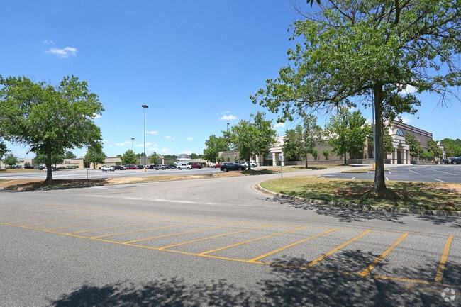
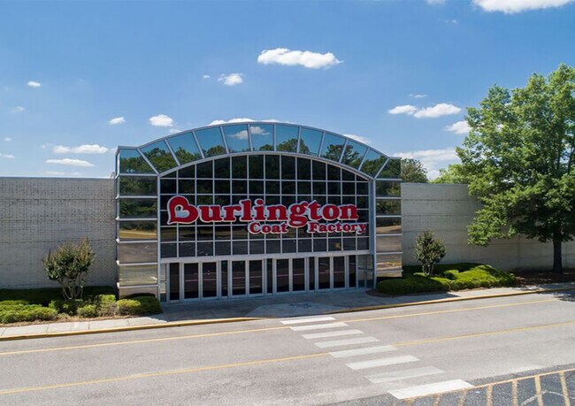
Property Detail
900 Commons Dr
09-02-10-1-004-009-000
E1/2 OF NW1/4 OF SEC 10 T3N R26E LYING E OF MONTGOMERY HWY
Storesoffices
Houston
B and X Area of moderate flood hazard, usually the area between the limits of the 100-year and 500-year floods.
Alabama
2025
32 AC
2025
Dothan/Enterprise
040301
Other Market Areas
923,900 SF
Dothan, AL
NEARBY LISTINGS FOR SALE OR LEASE
DEMOGRAPHICS near 900 Commons Dr
1 mile
3 mile
5 mile
2025 Total Population
4,785
29,964
63,286
2030 Population
4,792
30,269
63,977
Pop Growth 2025-2030
+ 0.15%
+ 1.02%
+ 1.09%
Average Age
39
41
40
2025 Total Households
2,037
12,999
26,773
HH Growth 2025-2030
+ 0.25%
+ 1.11%
+ 1.14%
Median Household Inc
$62,477
$57,336
$55,675
Avg Household Size
2.20
2.20
2.30
2025 Avg HH Vehicles
2.00
2.00
2.00
Median Home Value
$178,751
$193,256
$185,750
Median Year Built
1979
1976
1979
Nearby Places
Map Layers
Map Styles
 Street
 Aerial
Layers
 Traffic
 Biking
Places
Listings with unknown addresses are not visible on the map
- Restaurants
- Banks
- Shops
- Fitness
- Groceries
PUBLIC TRANSPORTATION
AIRPORT
Dothan Regional
Drive
Walk
Distance
Dothan Regional
12 min
5.2 mi
Freight Ports
Port of Panama City
Drive
Walk
Distance
Port of Panama City
117 min
88.2 mi
SALE & LEASE HISTORY
LISTING DATE
SALE/LEASE

Sep 28, 2016
For Lease
Sep 13, 2018
For Lease
Nov 05, 2021
For Lease
May 31, 2018
For Sale
Mar 18, 2024
For Lease
Mar 01, 2018
For Lease
Nearby Properties
Address
Land Use
TOTAL SIZE
Lot Size
Zoning
Address
Land Use
TOTAL SIZE
Lot Size
Zoning
375,000 SF
16.80 AC
Address
Land Use
TOTAL SIZE
Lot Size
Zoning
1,938 SF
2 AC
Address
Land Use
TOTAL SIZE
Lot Size
Zoning
178,040 SF
30.41 AC
Address
Land Use
TOTAL SIZE
Lot Size
Zoning
2,000 SF
31.99 AC
Address
Land Use
TOTAL SIZE
Lot Size
Zoning
2,426 SF
4.87 AC
Address
Land Use
TOTAL SIZE
Lot Size
Zoning
39,500 SF
1.97 AC
Address
Land Use
TOTAL SIZE
Lot Size
Zoning
18,144 SF
13.37 AC
Address
Land Use
TOTAL SIZE
Lot Size
Zoning
40,000 SF
15.62 AC
Address
Land Use
TOTAL SIZE
Lot Size
Zoning
420,000 SF
18.99 AC
Address
Land Use
TOTAL SIZE
Lot Size
Zoning
384 SF
2.69 AC
Address
Land Use
TOTAL SIZE
Lot Size
Zoning
2,400 SF
8.50 AC
Address
Land Use
TOTAL SIZE
Lot Size
Zoning
85,473 SF
12.34 AC
Address
Land Use
TOTAL SIZE
Lot Size
Zoning
201,250 SF
Address
Land Use
TOTAL SIZE
Lot Size
Zoning
262,200 SF
11.51 AC
Address
Land Use
TOTAL SIZE
Lot Size
Zoning
312 SF
2.17 AC
Address
Land Use
TOTAL SIZE
Lot Size
Zoning
165,195 SF
12.71 AC
Address
Land Use
TOTAL SIZE
Lot Size
Zoning
42,500 SF
16.24 AC
Address
Land Use
TOTAL SIZE
Lot Size
Zoning
182 SF
0.53 AC
Address
Land Use
TOTAL SIZE
Lot Size
Zoning
106,000 SF
13.69 AC
Address
Land Use
TOTAL SIZE
Lot Size
Zoning
140,900 SF
20 AC
Address
Land Use
TOTAL SIZE
Lot Size
Zoning
323 SF
60 AC
Address
Land Use
TOTAL SIZE
Lot Size
Zoning
1,794 SF
8.82 AC
Address
Land Use
TOTAL SIZE
Lot Size
Zoning
2,561 SF
10.19 AC
Address
Land Use
TOTAL SIZE
Lot Size
Zoning
101,500 SF
Address
Land Use
TOTAL SIZE
Lot Size
Zoning
45,696 SF
2.61 AC
Address
Land Use
TOTAL SIZE
Lot Size
Zoning
156,304 SF
33.52 AC
Address
Land Use
TOTAL SIZE
Lot Size
Zoning
464,620 SF
15.65 AC
Address
Land Use
TOTAL SIZE
Lot Size
Zoning
46,920 SF
4.67 AC
Address
Land Use
TOTAL SIZE
Lot Size
Zoning
283,000 SF
11.20 AC
Address
Land Use
TOTAL SIZE
Lot Size
Zoning
252,200 SF
10.11 AC
The World's #1 Commercial Real Estate Marketplace
Connect with us
© 2026 CoStar Group
The information above has been obtained from sources believed reliable. While we do not doubt its accuracy we have not verified it and make no guarantee, warranty or representation about it. It is your responsibility to independently confirm its accuracy and completeness. Any projections, opinions, assumptions, or estimates used are for example only and do not represent the current or future performance of the property. The value of this transaction to you depends on tax and other factors which should be evaluated by your tax, financial, and legal advisors. You and your advisors should conduct a careful, independent investigation of the property to determine to your satisfaction the suitability of the property for your needs.