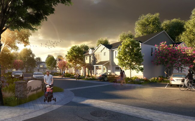
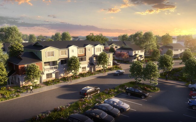
Property Record
9109 Principal Ave, Atascadero, CA 93422

Save to a Folder
{{folder.Name}}
{{folder.ListingIds.length}} Properties
{{folder.ListingIds.length}} Property
Create a New Folder
Property Detail
9109 Principal Ave
San Luis Obispo-Paso Robles, CA
CY ATAS ADS PTN LT 1
030-491-021
SAN LUIS OBISPO
Commercialacreage
California
B and X Area of moderate flood hazard, usually the area between the limits of the 100-year and 500-year floods.
1
2024
3.78 AC
2025
North 101 Corridor
012503
San Luis Obispo/Paso Robles
NEARBY LISTINGS FOR SALE OR LEASE
DEMOGRAPHICS near 9109 Principal Ave
1 mile
3 mile
5 mile
2025 Total Population
5,925
23,293
30,822
2030 Population
5,814
22,824
30,152
Pop Growth 2025-2030
(1.87%)
(2.01%)
(2.17%)
Average Age
41
41
42
2025 Total Households
2,348
8,983
11,875
HH Growth 2025-2030
(2.13%)
(2.29%)
(2.47%)
Median Household Inc
$74,289
$90,536
$92,599
Avg Household Size
2.50
2.50
2.50
2025 Avg HH Vehicles
2.00
2.00
2.00
Median Home Value
$634,664
$710,981
$750,263
Median Year Built
1980
1978
1980
Nearby Places
Map Layers
Map Styles
 Street
 Aerial
Layers
 Traffic
 Biking
Places
Listings with unknown addresses are not visible on the map
- Restaurants
- Banks
- Shops
- Fitness
- Groceries
PUBLIC TRANSPORTATION
AIRPORT
San Luis County Regional
Drive
Walk
Distance
San Luis County Regional
31 min
21.5 mi
Freight Ports
The Port of Hueneme
Drive
Walk
Distance
The Port of Hueneme
188 min
148.6 mi
SALE & LEASE HISTORY
LISTING DATE
SALE/LEASE

Dec 06, 2019
For Sale
Nearby Properties
Address
Land Use
TOTAL SIZE
Lot Size
Zoning
Address
Land Use
TOTAL SIZE
Lot Size
Zoning
57,534 SF
6.10 AC
CR
Address
Land Use
TOTAL SIZE
Lot Size
Zoning
54,912 SF
4 AC
MF20
Address
Land Use
TOTAL SIZE
Lot Size
Zoning
1,468 SF
3.72 AC
MF20
Address
Land Use
TOTAL SIZE
Lot Size
Zoning
68,381 SF
3.40 AC
MF20
Address
Land Use
TOTAL SIZE
Lot Size
Zoning
49,652 SF
3.84 AC
CR
Address
Land Use
TOTAL SIZE
Lot Size
Zoning
18,800 SF
0.45 AC
DC
Address
Land Use
TOTAL SIZE
Lot Size
Zoning
14,932 SF
0.64 AC
DC
Address
Land Use
TOTAL SIZE
Lot Size
Zoning
8.47 AC
MF20
Address
Land Use
TOTAL SIZE
Lot Size
Zoning
2.94 AC
CR
Address
Land Use
TOTAL SIZE
Lot Size
Zoning
42,993 SF
1.72 AC
CR
Address
Land Use
TOTAL SIZE
Lot Size
Zoning
5.02 AC
MF20
Address
Land Use
TOTAL SIZE
Lot Size
Zoning
30,992 SF
2.05 AC
CT
Address
Land Use
TOTAL SIZE
Lot Size
Zoning
15.05 AC
RSFY
Address
Land Use
TOTAL SIZE
Lot Size
Zoning
82,131 SF
2.95 AC
MF20
Address
Land Use
TOTAL SIZE
Lot Size
Zoning
8.27 AC
MF20
Address
Land Use
TOTAL SIZE
Lot Size
Zoning
0.91 AC
CP
Address
Land Use
TOTAL SIZE
Lot Size
Zoning
6.95 AC
MF20
Address
Land Use
TOTAL SIZE
Lot Size
Zoning
Address
Land Use
TOTAL SIZE
Lot Size
Zoning
59,321 SF
3.92 AC
P
Address
Land Use
TOTAL SIZE
Lot Size
Zoning
18,000 SF
0.91 AC
CT
Address
Land Use
TOTAL SIZE
Lot Size
Zoning
2.33 AC
CR
Address
Land Use
TOTAL SIZE
Lot Size
Zoning
4.34 AC
MF20
Address
Land Use
TOTAL SIZE
Lot Size
Zoning
1.64 AC
CR
Address
Land Use
TOTAL SIZE
Lot Size
Zoning
37,438 SF
2.32 AC
MF20
Address
Land Use
TOTAL SIZE
Lot Size
Zoning
17,161 SF
1.38 AC
CP
Address
Land Use
TOTAL SIZE
Lot Size
Zoning
69,680 SF
5.69 AC
CR
Address
Land Use
TOTAL SIZE
Lot Size
Zoning
30,829 SF
3.27 AC
CR
Address
Land Use
TOTAL SIZE
Lot Size
Zoning
3.21 AC
CR
Address
Land Use
TOTAL SIZE
Lot Size
Zoning
12,647 SF
0.98 AC
MF20
Address
Land Use
TOTAL SIZE
Lot Size
Zoning
2.12 AC
CR
The World's #1 Commercial Real Estate Marketplace
Connect with us
© 2026 CoStar Group
The information above has been obtained from sources believed reliable. While we do not doubt its accuracy we have not verified it and make no guarantee, warranty or representation about it. It is your responsibility to independently confirm its accuracy and completeness. Any projections, opinions, assumptions, or estimates used are for example only and do not represent the current or future performance of the property. The value of this transaction to you depends on tax and other factors which should be evaluated by your tax, financial, and legal advisors. You and your advisors should conduct a careful, independent investigation of the property to determine to your satisfaction the suitability of the property for your needs.