Property Record
9125 W Highway 71, Austin, TX 78735


NEARBY LISTINGS FOR SALE OR LEASE
Property Detail
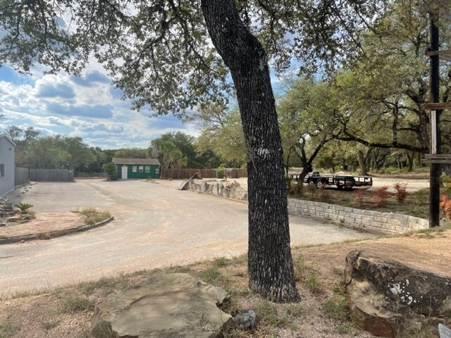
9125 W Highway 71
Austin-Round Rock, TX
Hill Country Phs Ii-B
455087
LOT 33 HILL COUNTRY PHS II-B
Storemultistory
Travis
X
Texas
48453C0420J
33
2024
2 AC
2025
Southwest
033000
Austin
2,792 SF
DEMOGRAPHICS near 9125 W Highway 71
1 Mile
3 Mile
5 Mile
2024 Total Population
3,124
29,209
84,588
2029 Population
3,368
31,510
90,587
Pop Growth 2024-2029
+ 7.81%
+ 7.88%
+ 7.09%
Average Age
39
40
40
2024 Total Households
1,257
12,089
33,127
HH Growth 2024-2029
+ 8.59%
+ 8.66%
+ 7.94%
Median Household Inc
$90,880
$106,580
$129,227
Avg Household Size
2.30
2.30
2.50
2024 Avg HH Vehicles
2.00
2.00
2.00
Median Home Value
$588,188
$649,835
$649,619
Median Year Built
2004
2002
1997
Nearby Places
Map Layers
Map Styles
 Street
 Aerial
- Restaurants
- Banks
- Shops
- Fitness
- Groceries
PUBLIC TRANSPORTATION
AIRPORT
Austin-Bergstrom International
DRIVE
WALK
Distance
Austin-Bergstrom International
31 min
18.2 mi
Freight Ports
Calhoun Port
DRIVE
WALK
Distance
Calhoun Port
196 min
161.7 mi
SALE & LEASE HISTORY
LISTING DATE
SALE/LEASE

Sep 28, 2021
For Lease
Oct 31, 2017
For Lease
Mar 17, 2021
For Lease
Aug 20, 2018
For Lease
Nearby Properties
Address
Land Use
TOTAL SIZE
Lot Size
Zoning
Address
Land Use
TOTAL SIZE
Lot Size
Zoning
881,498 SF
58.79 AC
Address
Land Use
TOTAL SIZE
Lot Size
Zoning
456,600 SF
44.89 AC
Address
Land Use
TOTAL SIZE
Lot Size
Zoning
422,810 SF
46.50 AC
Address
Land Use
TOTAL SIZE
Lot Size
Zoning
359,339 SF
23.59 AC
Address
Land Use
TOTAL SIZE
Lot Size
Zoning
355,651 SF
31.86 AC
Address
Land Use
TOTAL SIZE
Lot Size
Zoning
286,988 SF
27.73 AC
Address
Land Use
TOTAL SIZE
Lot Size
Zoning
258,600 SF
36.81 AC
Address
Land Use
TOTAL SIZE
Lot Size
Zoning
324,135 SF
53.12 AC
Address
Land Use
TOTAL SIZE
Lot Size
Zoning
267,928 SF
18.13 AC
Address
Land Use
TOTAL SIZE
Lot Size
Zoning
339,456 SF
32.70 AC
Address
Land Use
TOTAL SIZE
Lot Size
Zoning
253,902 SF
28.21 AC
Address
Land Use
TOTAL SIZE
Lot Size
Zoning
278,740 SF
44.30 AC
Address
Land Use
TOTAL SIZE
Lot Size
Zoning
240,640 SF
14.36 AC
Address
Land Use
TOTAL SIZE
Lot Size
Zoning
262,421 SF
33.65 AC
Address
Land Use
TOTAL SIZE
Lot Size
Zoning
150,975 SF
35.79 AC
Address
Land Use
TOTAL SIZE
Lot Size
Zoning
295,322 SF
23.02 AC
Address
Land Use
TOTAL SIZE
Lot Size
Zoning
267,156 SF
45.30 AC
Address
Land Use
TOTAL SIZE
Lot Size
Zoning
82,326 SF
53.78 AC
Address
Land Use
TOTAL SIZE
Lot Size
Zoning
199,816 SF
20.10 AC
Address
Land Use
TOTAL SIZE
Lot Size
Zoning
1,759,639 SF
153.30 AC
Address
Land Use
TOTAL SIZE
Lot Size
Zoning
250,211 SF
21.60 AC
Address
Land Use
TOTAL SIZE
Lot Size
Zoning
161,111 SF
29.24 AC
Address
Land Use
TOTAL SIZE
Lot Size
Zoning
194,230 SF
11.25 AC
Address
Land Use
TOTAL SIZE
Lot Size
Zoning
129,313 SF
7.45 AC
Address
Land Use
TOTAL SIZE
Lot Size
Zoning
71,786 SF
16.01 AC
Address
Land Use
TOTAL SIZE
Lot Size
Zoning
148,331 SF
19.98 AC
Address
Land Use
TOTAL SIZE
Lot Size
Zoning
136,564 SF
11.08 AC
Address
Land Use
TOTAL SIZE
Lot Size
Zoning
82,730 SF
53.28 AC
Address
Land Use
TOTAL SIZE
Lot Size
Zoning
1,469 SF
51.57 AC
Address
Land Use
TOTAL SIZE
Lot Size
Zoning
158,255 SF
11.91 AC
The World's #1 Commercial Real Estate Marketplace
Connect with us
© 2025 CoStar Group
The information above has been obtained from sources believed reliable. While we do not doubt its accuracy we have not verified it and make no guarantee, warranty or representation about it. It is your responsibility to independently confirm its accuracy and completeness. Any projections, opinions, assumptions, or estimates used are for example only and do not represent the current or future performance of the property. The value of this transaction to you depends on tax and other factors which should be evaluated by your tax, financial, and legal advisors. You and your advisors should conduct a careful, independent investigation of the property to determine to your satisfaction the suitability of the property for your needs.