Property Record
9144 Howell St, Arvada, CO 80005
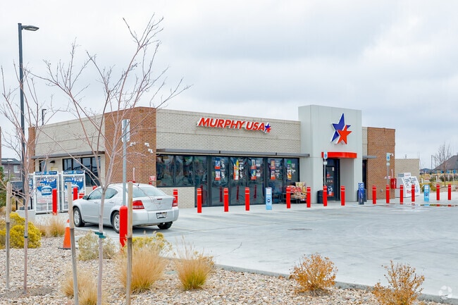

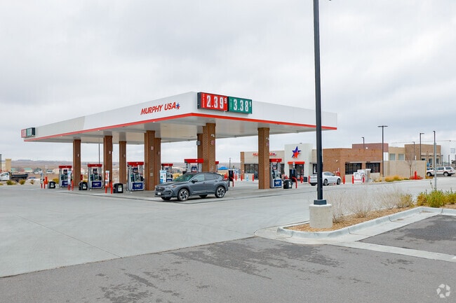
Property Detail
9144 Howell St
Denver
SECTION 19 TOWNSHIP 02 RANGE 69 SUBDIVISIONCD 833006 SUBDIVISIONNAME WHISPER VILLAGE COMMERCIAL BLOCK 001 LOT 0006 SIZE: 29768 VALUE: .683
Denver-Aurora-Centennial, CO
JEFFERSON
29-193-16-006
Colorado
Commercialnec
6
2025
0.68 AC
2025
Northwest Denver
060501
NEARBY LISTINGS FOR SALE OR LEASE
DEMOGRAPHICS near 9144 Howell St
1 mile
3 mile
5 mile
2025 Total Population
4,250
34,330
128,266
2030 Population
4,307
34,158
127,677
Pop Growth 2025-2030
+ 1.34%
(0.50%)
(0.46%)
Average Age
40
41
41
2025 Total Households
1,455
12,211
50,990
HH Growth 2025-2030
+ 1.24%
(0.59%)
(0.30%)
Median Household Inc
$199,509
$159,543
$122,393
Avg Household Size
2.90
2.80
2.50
2025 Avg HH Vehicles
2.00
2.00
2.00
Median Home Value
$820,100
$777,004
$720,734
Median Year Built
2010
1998
1988
Nearby Places
Map Layers
Map Styles
 Street
 Aerial
Layers
 Traffic
 Biking
Places
Listings with unknown addresses are not visible on the map
- Restaurants
- Banks
- Shops
- Fitness
- Groceries
PUBLIC TRANSPORTATION
COMMUTER RAIL
Drive
Walk
Distance
13 min
7.0 mi
Drive
Walk
Distance
14 min
7.8 mi
AIRPORT
Denver International
Drive
Walk
Distance
Denver International
48 min
40.0 mi
Nearby Properties
Address
Land Use
TOTAL SIZE
Lot Size
Zoning
Address
Land Use
TOTAL SIZE
Lot Size
Zoning
253,643 SF
50.87 AC
A2
Address
Land Use
TOTAL SIZE
Lot Size
Zoning
1,968.53 AC
Address
Land Use
TOTAL SIZE
Lot Size
Zoning
170,218 SF
18.80 AC
PUD
Address
Land Use
TOTAL SIZE
Lot Size
Zoning
215,878 SF
11.82 AC
A2
Address
Land Use
TOTAL SIZE
Lot Size
Zoning
115,723 SF
24.06 AC
Address
Land Use
TOTAL SIZE
Lot Size
Zoning
131,170 SF
10.56 AC
Address
Land Use
TOTAL SIZE
Lot Size
Zoning
44,797 SF
4.35 AC
Address
Land Use
TOTAL SIZE
Lot Size
Zoning
33,506 SF
9.98 AC
A2
Address
Land Use
TOTAL SIZE
Lot Size
Zoning
52,931 SF
70.19 AC
I2
Address
Land Use
TOTAL SIZE
Lot Size
Zoning
68,300 SF
6 AC
Address
Land Use
TOTAL SIZE
Lot Size
Zoning
121,192 SF
12.43 AC
Address
Land Use
TOTAL SIZE
Lot Size
Zoning
8,856 SF
41.91 AC
Address
Land Use
TOTAL SIZE
Lot Size
Zoning
89,535 SF
2.88 AC
Address
Land Use
TOTAL SIZE
Lot Size
Zoning
110,235 SF
2.32 AC
Address
Land Use
TOTAL SIZE
Lot Size
Zoning
95,412 SF
5.32 AC
Address
Land Use
TOTAL SIZE
Lot Size
Zoning
97,803 SF
10.02 AC
Address
Land Use
TOTAL SIZE
Lot Size
Zoning
441 AC
PD
Address
Land Use
TOTAL SIZE
Lot Size
Zoning
50,529 SF
23.88 AC
Address
Land Use
TOTAL SIZE
Lot Size
Zoning
41,106 SF
4.86 AC
PUD
Address
Land Use
TOTAL SIZE
Lot Size
Zoning
320 AC
A2
Address
Land Use
TOTAL SIZE
Lot Size
Zoning
85.97 AC
A2
Address
Land Use
TOTAL SIZE
Lot Size
Zoning
53,400 SF
6.40 AC
Address
Land Use
TOTAL SIZE
Lot Size
Zoning
18,625 SF
1.14 AC
Address
Land Use
TOTAL SIZE
Lot Size
Zoning
295.40 AC
Address
Land Use
TOTAL SIZE
Lot Size
Zoning
10,886 SF
1.47 AC
Address
Land Use
TOTAL SIZE
Lot Size
Zoning
12.72 AC
Address
Land Use
TOTAL SIZE
Lot Size
Zoning
13,180 SF
2.86 AC
Address
Land Use
TOTAL SIZE
Lot Size
Zoning
27,000 SF
1.95 AC
Address
Land Use
TOTAL SIZE
Lot Size
Zoning
13,050 SF
1.37 AC
Address
Land Use
TOTAL SIZE
Lot Size
Zoning
46,480 SF
4.24 AC
I2
The World's #1 Commercial Real Estate Marketplace
Connect with us
© 2026 CoStar Group
The information above has been obtained from sources believed reliable. While we do not doubt its accuracy we have not verified it and make no guarantee, warranty or representation about it. It is your responsibility to independently confirm its accuracy and completeness. Any projections, opinions, assumptions, or estimates used are for example only and do not represent the current or future performance of the property. The value of this transaction to you depends on tax and other factors which should be evaluated by your tax, financial, and legal advisors. You and your advisors should conduct a careful, independent investigation of the property to determine to your satisfaction the suitability of the property for your needs.