Property Record
943 Airport Blvd, South San Francisco, CA 94080


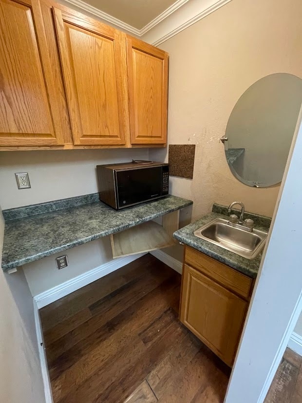
This Property Is For Sale
Current Lease Availabilities
NEARBY LISTINGS FOR SALE OR LEASE
Property Detail
943 Airport Blvd
San Francisco-Redwood City-South San Francisco, CA
Pecks Sub No 1
012-080-670
LOTS 41 43 BLK Q PECKS SUB NO 1 RSM 5/11
Industrialgeneral
San Mateo
X
California
06081C0042F
41
2024
0.12 AC
2025
South San Francisco
601902
San Francisco
4,250 SF
DEMOGRAPHICS near 943 Airport Blvd
1 Mile
3 Mile
5 Mile
2024 Total Population
14,034
75,730
345,905
2029 Population
13,327
71,926
322,396
Pop Growth 2024-2029
(5.04%)
(5.02%)
(6.80%)
Average Age
40
42
43
2024 Total Households
4,408
25,781
108,309
HH Growth 2024-2029
(5.20%)
(5.26%)
(6.95%)
Median Household Inc
$82,593
$110,098
$109,271
Avg Household Size
3.10
2.80
3.00
2024 Avg HH Vehicles
2.00
2.00
2.00
Median Home Value
$1,031,308
$1,041,509
$1,043,433
Median Year Built
1963
1962
1961
Nearby Places
- Restaurants
- Banks
- Shops
- Fitness
- Groceries
PUBLIC TRANSPORTATION
TRANSIT/SUBWAY
South San Francisco (Caltrain - Caltrain (Caltrain))
DRIVE
WALK
Distance
South San Francisco (Caltrain - Caltrain (Caltrain))
3 min
15 min
0.8 mi
COMMUTER RAIL
South San Francisco (Caltrain - Caltrain (Caltrain))
DRIVE
WALK
Distance
South San Francisco (Caltrain - Caltrain (Caltrain))
3 min
15 min
0.8 mi
DRIVE
WALK
Distance
5 min
2.7 mi
AIRPORT
San Francisco International
DRIVE
WALK
Distance
San Francisco International
9 min
4.3 mi
Metro Oakland International
DRIVE
WALK
Distance
Metro Oakland International
41 min
28.0 mi
Norman Y Mineta San Jose International
DRIVE
WALK
Distance
Norman Y Mineta San Jose International
45 min
36.0 mi
Nearby Properties
Address
Land Use
TOTAL SIZE
Lot Size
Zoning
Address
Land Use
TOTAL SIZE
Lot Size
Zoning
780,375 SF
23.23 AC
Address
Land Use
TOTAL SIZE
Lot Size
Zoning
Address
Land Use
TOTAL SIZE
Lot Size
Zoning
2,008 SF
16.83 AC
Address
Land Use
TOTAL SIZE
Lot Size
Zoning
574,675 SF
10.07 AC
Address
Land Use
TOTAL SIZE
Lot Size
Zoning
8.97 AC
OA0000
Address
Land Use
TOTAL SIZE
Lot Size
Zoning
Address
Land Use
TOTAL SIZE
Lot Size
Zoning
6.67 AC
PD0000
Address
Land Use
TOTAL SIZE
Lot Size
Zoning
350,036 SF
2.91 AC
Address
Land Use
TOTAL SIZE
Lot Size
Zoning
323,091 SF
14.83 AC
Address
Land Use
TOTAL SIZE
Lot Size
Zoning
Address
Land Use
TOTAL SIZE
Lot Size
Zoning
24,070 SF
6.44 AC
M2000H
Address
Land Use
TOTAL SIZE
Lot Size
Zoning
529,342 SF
5.28 AC
Address
Land Use
TOTAL SIZE
Lot Size
Zoning
161,850 SF
7.48 AC
Address
Land Use
TOTAL SIZE
Lot Size
Zoning
4,047 SF
4.25 AC
Address
Land Use
TOTAL SIZE
Lot Size
Zoning
293,445 SF
6.70 AC
MH00M2
Address
Land Use
TOTAL SIZE
Lot Size
Zoning
528,605 SF
17.06 AC
M2000H
Address
Land Use
TOTAL SIZE
Lot Size
Zoning
Address
Land Use
TOTAL SIZE
Lot Size
Zoning
152,145 SF
6.10 AC
MH00M2
Address
Land Use
TOTAL SIZE
Lot Size
Zoning
Address
Land Use
TOTAL SIZE
Lot Size
Zoning
176,096 SF
2.74 AC
Address
Land Use
TOTAL SIZE
Lot Size
Zoning
2,016 SF
3.61 AC
Address
Land Use
TOTAL SIZE
Lot Size
Zoning
2,007 SF
7.66 AC
Address
Land Use
TOTAL SIZE
Lot Size
Zoning
112,912 SF
5.96 AC
MH00M2
Address
Land Use
TOTAL SIZE
Lot Size
Zoning
254,775 SF
17.01 AC
Address
Land Use
TOTAL SIZE
Lot Size
Zoning
198,375 SF
5.52 AC
PD0000
Address
Land Use
TOTAL SIZE
Lot Size
Zoning
126,971 SF
3.04 AC
Address
Land Use
TOTAL SIZE
Lot Size
Zoning
Address
Land Use
TOTAL SIZE
Lot Size
Zoning
107,773 SF
6.73 AC
M20000
Address
Land Use
TOTAL SIZE
Lot Size
Zoning
2,008 SF
8.84 AC
Address
Land Use
TOTAL SIZE
Lot Size
Zoning
141,360 SF
8.56 AC
The World's #1 Commercial Real Estate Marketplace
Connect with us
© 2025 CoStar Group
The information above has been obtained from sources believed reliable. While we do not doubt its accuracy we have not verified it and make no guarantee, warranty or representation about it. It is your responsibility to independently confirm its accuracy and completeness. Any projections, opinions, assumptions, or estimates used are for example only and do not represent the current or future performance of the property. The value of this transaction to you depends on tax and other factors which should be evaluated by your tax, financial, and legal advisors. You and your advisors should conduct a careful, independent investigation of the property to determine to your satisfaction the suitability of the property for your needs.