Property Record
956 Lockwood Dr, Peekskill, NY 10566
Save to a Folder
{{folder.Name}}
{{folder.ListingIds.length}} Properties
{{folder.ListingIds.length}} Property
Create a New Folder
Property Detail
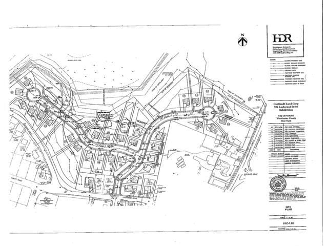
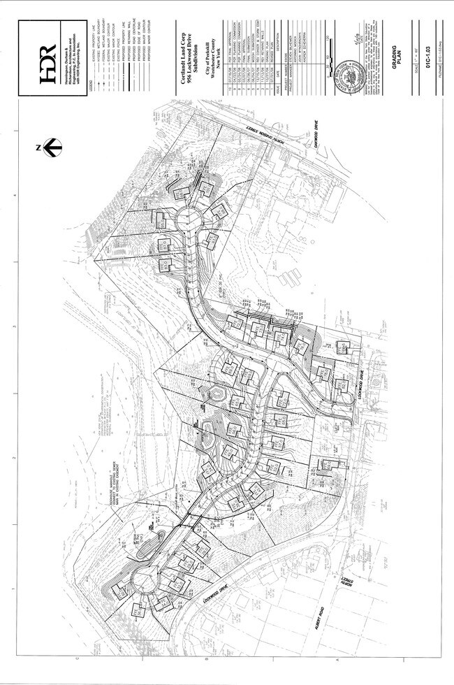
956 Lockwood Dr
New York-Jersey City-White Plains, NY-NJ
WESTCHESTER
1200-023-009-00001-000-0001-2
New York
Miscresidentialimprovement
0.59 AC
R-1A
Northwest
AE The base floodplain where base flood elevations are provided. AE Zones are now used on new format FIRMs instead of A1-A30 Zones.
Westchester/So Connecticut
NEARBY LISTINGS FOR SALE OR LEASE
DEMOGRAPHICS near 956 Lockwood Dr
1 mile
3 mile
5 mile
2025 Total Population
10,377
44,899
77,494
2030 Population
10,493
45,068
77,978
Pop Growth 2025-2030
+ 1.12%
+ 0.38%
+ 0.62%
Average Age
40
42
43
2025 Total Households
3,587
16,369
27,919
HH Growth 2025-2030
+ 1.20%
+ 0.36%
+ 0.58%
Median Household Inc
$101,989
$102,993
$115,878
Avg Household Size
2.70
2.60
2.60
2025 Avg HH Vehicles
2.00
2.00
2.00
Median Home Value
$382,043
$443,866
$479,172
Median Year Built
1961
1961
1962
Nearby Places
Map Layers
Map Styles
 Street
 Aerial
Layers
 Traffic
 Biking
Places
Listings with unknown addresses are not visible on the map
- Restaurants
- Banks
- Shops
- Fitness
- Groceries
PUBLIC TRANSPORTATION
COMMUTER RAIL
Peekskill Station (Hudson Line - Metro-North Commuter Railroad Company (Metro-North))
Drive
Walk
Distance
Peekskill Station (Hudson Line - Metro-North Commuter Railroad Company (Metro-North))
4 min
2.0 mi
Manitou Station (Hudson Line - Metro-North Commuter Railroad Company (Metro-North))
Drive
Walk
Distance
Manitou Station (Hudson Line - Metro-North Commuter Railroad Company (Metro-North))
14 min
7.1 mi
AIRPORT
New York Stewart International
Drive
Walk
Distance
New York Stewart International
42 min
24.6 mi
Westchester County
Drive
Walk
Distance
Westchester County
41 min
29.7 mi
Freight Ports
NY - Red Hook Container Terminal
Drive
Walk
Distance
NY - Red Hook Container Terminal
83 min
55.1 mi
SALE & LEASE HISTORY
LISTING DATE
SALE/LEASE

Sep 24, 2016
For Sale
Nearby Properties
Address
Land Use
TOTAL SIZE
Lot Size
Zoning
Address
Land Use
TOTAL SIZE
Lot Size
Zoning
Address
Land Use
TOTAL SIZE
Lot Size
Zoning
Address
Land Use
TOTAL SIZE
Lot Size
Zoning
95,159 SF
34.56 AC
B2
Address
Land Use
TOTAL SIZE
Lot Size
Zoning
Address
Land Use
TOTAL SIZE
Lot Size
Zoning
Address
Land Use
TOTAL SIZE
Lot Size
Zoning
Address
Land Use
TOTAL SIZE
Lot Size
Zoning
Address
Land Use
TOTAL SIZE
Lot Size
Zoning
13,520 SF
1.16 AC
CC1
Address
Land Use
TOTAL SIZE
Lot Size
Zoning
21,466 SF
2.87 AC
CC1
Address
Land Use
TOTAL SIZE
Lot Size
Zoning
Address
Land Use
TOTAL SIZE
Lot Size
Zoning
Address
Land Use
TOTAL SIZE
Lot Size
Zoning
Address
Land Use
TOTAL SIZE
Lot Size
Zoning
2.70 AC
Address
Land Use
TOTAL SIZE
Lot Size
Zoning
Address
Land Use
TOTAL SIZE
Lot Size
Zoning
Address
Land Use
TOTAL SIZE
Lot Size
Zoning
15.81 AC
R80
Address
Land Use
TOTAL SIZE
Lot Size
Zoning
7,254 SF
17.32 AC
R80
Address
Land Use
TOTAL SIZE
Lot Size
Zoning
22.61 AC
Address
Land Use
TOTAL SIZE
Lot Size
Zoning
8.93 AC
Address
Land Use
TOTAL SIZE
Lot Size
Zoning
2.99 AC
Address
Land Use
TOTAL SIZE
Lot Size
Zoning
4,160 SF
3.75 AC
R80
Address
Land Use
TOTAL SIZE
Lot Size
Zoning
Address
Land Use
TOTAL SIZE
Lot Size
Zoning
7.50 AC
Address
Land Use
TOTAL SIZE
Lot Size
Zoning
38.05 AC
Address
Land Use
TOTAL SIZE
Lot Size
Zoning
148.54 AC
R80
Address
Land Use
TOTAL SIZE
Lot Size
Zoning
9,328 SF
0.55 AC
CC2
Address
Land Use
TOTAL SIZE
Lot Size
Zoning
6,360 SF
0.51 AC
CC1
Address
Land Use
TOTAL SIZE
Lot Size
Zoning
Address
Land Use
TOTAL SIZE
Lot Size
Zoning
7,708 SF
0.50 AC
CC1
Address
Land Use
TOTAL SIZE
Lot Size
Zoning
6,976 SF
0.58 AC
CC1
The World's #1 Commercial Real Estate Marketplace
Connect with us
© 2026 CoStar Group
The information above has been obtained from sources believed reliable. While we do not doubt its accuracy we have not verified it and make no guarantee, warranty or representation about it. It is your responsibility to independently confirm its accuracy and completeness. Any projections, opinions, assumptions, or estimates used are for example only and do not represent the current or future performance of the property. The value of this transaction to you depends on tax and other factors which should be evaluated by your tax, financial, and legal advisors. You and your advisors should conduct a careful, independent investigation of the property to determine to your satisfaction the suitability of the property for your needs.