Property Record
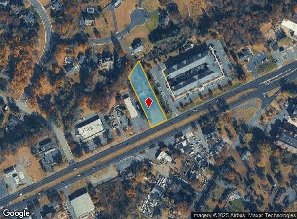
976 Route 202 S, Branchburg, NJ 08876


NEARBY LISTINGS FOR SALE OR LEASE
-
-
-
-
-
-
No Photo
-
-
View all Branchburg listings for sale on LoopNet.com
Property Detail
976 Route 202 S
05-00044-0000-00037
ADDITIONAL LOTS: FUTURE HOTEL(WENDYS)
Storemultistory
Somerset
X
New Jersey
34019C0279F
37
2024
1.56 AC
2025
Route 22 West
050600
Northern New Jersey
600 SF
Newark, NJ-PA
DEMOGRAPHICS near 976 Route 202 S
1 Mile
3 Mile
5 Mile
2024 Total Population
3,508
36,396
97,355
2029 Population
3,497
36,462
97,748
Pop Growth 2024-2029
(0.31%)
+ 0.18%
+ 0.40%
Average Age
44
42
42
2024 Total Households
1,364
13,228
36,289
HH Growth 2024-2029
(0.37%)
+ 0.11%
+ 0.42%
Median Household Inc
$136,011
$143,244
$129,170
Avg Household Size
2.50
2.70
2.60
2024 Avg HH Vehicles
2.00
2.00
2.00
Median Home Value
$466,414
$486,281
$462,341
Median Year Built
1987
1986
1981
Nearby Places
Map Layers
Map Styles
 Street
 Aerial
- Restaurants
- Banks
- Shops
- Fitness
- Groceries
PUBLIC TRANSPORTATION
COMMUTER RAIL
North Branch (Raritan Valley Line - NJ Transit Commuter Rail (NJ Transit))
DRIVE
WALK
Distance
North Branch (Raritan Valley Line - NJ Transit Commuter Rail (NJ Transit))
8 min
2.5 mi
Raritan (Raritan Valley Line - NJ Transit Commuter Rail (NJ Transit))
DRIVE
WALK
Distance
Raritan (Raritan Valley Line - NJ Transit Commuter Rail (NJ Transit))
6 min
3.5 mi
AIRPORT
Trenton Mercer
DRIVE
WALK
Distance
Trenton Mercer
47 min
29.6 mi
Newark Liberty International
DRIVE
WALK
Distance
Newark Liberty International
46 min
37.6 mi
Freight Ports
New York Container Terminal
DRIVE
WALK
Distance
New York Container Terminal
47 min
36.7 mi
Nearby Properties
Address
Land Use
TOTAL SIZE
Lot Size
Zoning
Address
Land Use
TOTAL SIZE
Lot Size
Zoning
63.86 AC
I2
Address
Land Use
TOTAL SIZE
Lot Size
Zoning
108.74 AC
OM-3
Address
Land Use
TOTAL SIZE
Lot Size
Zoning
29.74 AC
I-2
Address
Land Use
TOTAL SIZE
Lot Size
Zoning
236.88 AC
CF
Address
Land Use
TOTAL SIZE
Lot Size
Zoning
47.50 AC
M1
Address
Land Use
TOTAL SIZE
Lot Size
Zoning
4,397 SF
26.86 AC
I-1
Address
Land Use
TOTAL SIZE
Lot Size
Zoning
28.76 AC
I-IP
Address
Land Use
TOTAL SIZE
Lot Size
Zoning
54.31 AC
P-2
Address
Land Use
TOTAL SIZE
Lot Size
Zoning
25.70 AC
PACD
Address
Land Use
TOTAL SIZE
Lot Size
Zoning
66.08 AC
M3
Address
Land Use
TOTAL SIZE
Lot Size
Zoning
34.80 AC
OM-3
Address
Land Use
TOTAL SIZE
Lot Size
Zoning
33.16 AC
M3
Address
Land Use
TOTAL SIZE
Lot Size
Zoning
1,056 SF
0.07 AC
Address
Land Use
TOTAL SIZE
Lot Size
Zoning
34.26 AC
Address
Land Use
TOTAL SIZE
Lot Size
Zoning
25 SF
10.43 AC
M2
Address
Land Use
TOTAL SIZE
Lot Size
Zoning
10.33 AC
I-2
Address
Land Use
TOTAL SIZE
Lot Size
Zoning
20 AC
I-1
Address
Land Use
TOTAL SIZE
Lot Size
Zoning
19.22 AC
AH-3
Address
Land Use
TOTAL SIZE
Lot Size
Zoning
12.58 AC
I-2
Address
Land Use
TOTAL SIZE
Lot Size
Zoning
2.52 AC
Address
Land Use
TOTAL SIZE
Lot Size
Zoning
38.79 AC
I-1
Address
Land Use
TOTAL SIZE
Lot Size
Zoning
23.64 AC
I,IP
Address
Land Use
TOTAL SIZE
Lot Size
Zoning
Address
Land Use
TOTAL SIZE
Lot Size
Zoning
2.84 AC
Address
Land Use
TOTAL SIZE
Lot Size
Zoning
13.48 AC
I2
Address
Land Use
TOTAL SIZE
Lot Size
Zoning
20.18 AC
I-1
Address
Land Use
TOTAL SIZE
Lot Size
Zoning
31.79 AC
I
Address
Land Use
TOTAL SIZE
Lot Size
Zoning
25.08 AC
I-1
Address
Land Use
TOTAL SIZE
Lot Size
Zoning
10.34 AC
RS-1
Address
Land Use
TOTAL SIZE
Lot Size
Zoning
14.68 AC
C3
The World's #1 Commercial Real Estate Marketplace
Connect with us
© 2025 CoStar Group
The information above has been obtained from sources believed reliable. While we do not doubt its accuracy we have not verified it and make no guarantee, warranty or representation about it. It is your responsibility to independently confirm its accuracy and completeness. Any projections, opinions, assumptions, or estimates used are for example only and do not represent the current or future performance of the property. The value of this transaction to you depends on tax and other factors which should be evaluated by your tax, financial, and legal advisors. You and your advisors should conduct a careful, independent investigation of the property to determine to your satisfaction the suitability of the property for your needs.