Property Record
98 Filley St, Bloomfield, CT 06002
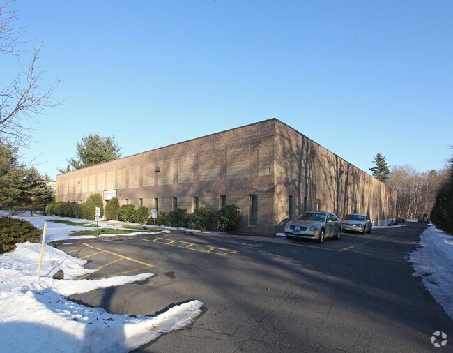


Property Detail
98 Filley St
BLOO-000300-000000-002028-R005370
Capitol
Industrialgeneral
Connecticut
I-2
86
B and X Area of moderate flood hazard, usually the area between the limits of the 100-year and 500-year floods.
2.64 AC
2024
Bloomfield
2025
Hartford
471500
Hartford-West Hartford-East Hartford, CT
27,265 SF
NEARBY LISTINGS FOR SALE OR LEASE
DEMOGRAPHICS near 98 Filley St
1 mile
3 mile
5 mile
2025 Total Population
1,443
26,962
96,423
2030 Population
1,498
27,805
98,239
Pop Growth 2025-2030
+ 3.81%
+ 3.13%
+ 1.88%
Average Age
46
45
42
2025 Total Households
640
10,963
36,731
HH Growth 2025-2030
+ 4.06%
+ 3.19%
+ 1.92%
Median Household Inc
$96,874
$105,633
$95,790
Avg Household Size
2.20
2.30
2.40
2025 Avg HH Vehicles
2.00
2.00
2.00
Median Home Value
$308,823
$294,223
$311,328
Median Year Built
1989
1973
1963
Nearby Places
Map Layers
Map Styles
 Street
 Aerial
Layers
 Traffic
 Biking
Places
Listings with unknown addresses are not visible on the map
- Restaurants
- Banks
- Shops
- Fitness
- Groceries
PUBLIC TRANSPORTATION
COMMUTER RAIL
Drive
Walk
Distance
10 min
4.5 mi
Drive
Walk
Distance
15 min
7.2 mi
AIRPORT
Bradley International
Drive
Walk
Distance
Bradley International
23 min
8.9 mi
Freight Ports
Port of New Haven
Drive
Walk
Distance
Port of New Haven
66 min
48.7 mi
Nearby Properties
Address
Land Use
TOTAL SIZE
Lot Size
Zoning
Address
Land Use
TOTAL SIZE
Lot Size
Zoning
105,796 SF
89.51 AC
Address
Land Use
TOTAL SIZE
Lot Size
Zoning
221,054 SF
28.85 AC
R-40
Address
Land Use
TOTAL SIZE
Lot Size
Zoning
66.60 AC
I-2
Address
Land Use
TOTAL SIZE
Lot Size
Zoning
802,150 SF
96.24 AC
I-2
Address
Land Use
TOTAL SIZE
Lot Size
Zoning
68.36 AC
Address
Land Use
TOTAL SIZE
Lot Size
Zoning
227,898 SF
5.33 AC
BCD
Address
Land Use
TOTAL SIZE
Lot Size
Zoning
433,356 SF
45.53 AC
I-2
Address
Land Use
TOTAL SIZE
Lot Size
Zoning
93.79 AC
Address
Land Use
TOTAL SIZE
Lot Size
Zoning
65,042 SF
36.76 AC
I-2
Address
Land Use
TOTAL SIZE
Lot Size
Zoning
8.89 AC
Address
Land Use
TOTAL SIZE
Lot Size
Zoning
772,060 SF
17.90 AC
DDZ
Address
Land Use
TOTAL SIZE
Lot Size
Zoning
161,576 SF
4 AC
BCD
Address
Land Use
TOTAL SIZE
Lot Size
Zoning
39,281 SF
678.81 AC
R-80
Address
Land Use
TOTAL SIZE
Lot Size
Zoning
102,949 SF
59.10 AC
PEC
Address
Land Use
TOTAL SIZE
Lot Size
Zoning
82,938 SF
62.53 AC
I-1
Address
Land Use
TOTAL SIZE
Lot Size
Zoning
77,497 SF
14.17 AC
R-20
Address
Land Use
TOTAL SIZE
Lot Size
Zoning
135,344 SF
17.85 AC
PO
Address
Land Use
TOTAL SIZE
Lot Size
Zoning
180,964 SF
32.10 AC
R-15
Address
Land Use
TOTAL SIZE
Lot Size
Zoning
14.02 AC
PLR
Address
Land Use
TOTAL SIZE
Lot Size
Zoning
203,071 SF
17.46 AC
Address
Land Use
TOTAL SIZE
Lot Size
Zoning
39.47 AC
R-15
Address
Land Use
TOTAL SIZE
Lot Size
Zoning
451,806 SF
37.82 AC
I-2
Address
Land Use
TOTAL SIZE
Lot Size
Zoning
53.78 AC
R-30
Address
Land Use
TOTAL SIZE
Lot Size
Zoning
13,728 SF
21.52 AC
R-15
Address
Land Use
TOTAL SIZE
Lot Size
Zoning
215,269 SF
41 AC
I-2
Address
Land Use
TOTAL SIZE
Lot Size
Zoning
488,812 SF
77.31 AC
Address
Land Use
TOTAL SIZE
Lot Size
Zoning
152,382 SF
10.46 AC
Address
Land Use
TOTAL SIZE
Lot Size
Zoning
183,263 SF
21.69 AC
Address
Land Use
TOTAL SIZE
Lot Size
Zoning
457,396 SF
72.99 AC
Address
Land Use
TOTAL SIZE
Lot Size
Zoning
14.90 AC
R-15
The World's #1 Commercial Real Estate Marketplace
Connect with us
© 2026 CoStar Group
The information above has been obtained from sources believed reliable. While we do not doubt its accuracy we have not verified it and make no guarantee, warranty or representation about it. It is your responsibility to independently confirm its accuracy and completeness. Any projections, opinions, assumptions, or estimates used are for example only and do not represent the current or future performance of the property. The value of this transaction to you depends on tax and other factors which should be evaluated by your tax, financial, and legal advisors. You and your advisors should conduct a careful, independent investigation of the property to determine to your satisfaction the suitability of the property for your needs.