Property Record
9801 Highway 9, Ben Lomond, CA 95005
Save to a Folder
{{folder.Name}}
{{folder.ListingIds.length}} Properties
{{folder.ListingIds.length}} Property
Create a New Folder
Property Detail
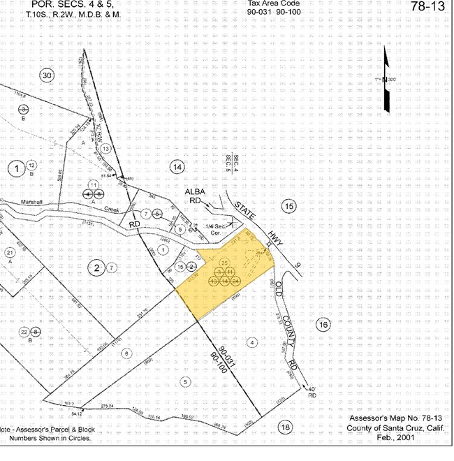
9801 Highway 9
078-132-06-000
SANTA CRUZ
Vacantlandnec
California
RA
5.75 AC
B and X Area of moderate flood hazard, usually the area between the limits of the 100-year and 500-year floods.
Outlying Santa Cruz County
2024
Santa Cruz/Watsonville
2025
Santa Cruz-Watsonville, CA
120301
NEARBY LISTINGS FOR SALE OR LEASE
-
-
View all Ben Lomond listings for sale on LoopNet.com
DEMOGRAPHICS near 9801 Highway 9
1 mile
3 mile
5 mile
2025 Total Population
2,853
11,844
27,331
2030 Population
2,667
11,155
25,904
Pop Growth 2025-2030
(6.52%)
(5.82%)
(5.22%)
Average Age
44
45
45
2025 Total Households
1,129
4,647
10,866
HH Growth 2025-2030
(7.17%)
(6.39%)
(5.71%)
Median Household Inc
$101,296
$112,063
$121,592
Avg Household Size
2.40
2.50
2.40
2025 Avg HH Vehicles
2.00
2.00
2.00
Median Home Value
$878,959
$877,642
$891,285
Median Year Built
1962
1963
1967
Nearby Places
Map Layers
Map Styles
 Street
 Aerial
Layers
 Traffic
 Biking
Places
Listings with unknown addresses are not visible on the map
- Restaurants
- Banks
- Shops
- Fitness
- Groceries
PUBLIC TRANSPORTATION
AIRPORT
Norman Y Mineta San Jose International
Drive
Walk
Distance
Norman Y Mineta San Jose International
54 min
34.7 mi
Freight Ports
Port of Redwood City
Drive
Walk
Distance
Port of Redwood City
73 min
50.6 mi
Nearby Properties
Address
Land Use
TOTAL SIZE
Lot Size
Zoning
Address
Land Use
TOTAL SIZE
Lot Size
Zoning
6,302 SF
7.37 AC
PR
Address
Land Use
TOTAL SIZE
Lot Size
Zoning
116.88 AC
RA-GH
Address
Land Use
TOTAL SIZE
Lot Size
Zoning
47,216 SF
6.07 AC
C-2-GH
Address
Land Use
TOTAL SIZE
Lot Size
Zoning
2,480 SF
90.93 AC
SU
Address
Land Use
TOTAL SIZE
Lot Size
Zoning
9,543 SF
5.21 AC
VA
Address
Land Use
TOTAL SIZE
Lot Size
Zoning
29,115 SF
1.05 AC
C-1
Address
Land Use
TOTAL SIZE
Lot Size
Zoning
5,259 SF
90.59 AC
SU
Address
Land Use
TOTAL SIZE
Lot Size
Zoning
6,194 SF
1.99 AC
Address
Land Use
TOTAL SIZE
Lot Size
Zoning
0.65 AC
C-2
Address
Land Use
TOTAL SIZE
Lot Size
Zoning
3,435 SF
10.50 AC
RA
Address
Land Use
TOTAL SIZE
Lot Size
Zoning
5,713 SF
0.09 AC
C-2
Address
Land Use
TOTAL SIZE
Lot Size
Zoning
1,440 SF
23.61 AC
SU
Address
Land Use
TOTAL SIZE
Lot Size
Zoning
2,401 SF
R-1-1AC
Address
Land Use
TOTAL SIZE
Lot Size
Zoning
3,270 SF
113.46 AC
PR
Address
Land Use
TOTAL SIZE
Lot Size
Zoning
8,751 SF
13.47 AC
RA-O
Address
Land Use
TOTAL SIZE
Lot Size
Zoning
5,822 SF
1.26 AC
R-1-15
Address
Land Use
TOTAL SIZE
Lot Size
Zoning
6,166 SF
17.89 AC
RA
Address
Land Use
TOTAL SIZE
Lot Size
Zoning
8,000 SF
0.17 AC
C-2
Address
Land Use
TOTAL SIZE
Lot Size
Zoning
37.07 AC
Address
Land Use
TOTAL SIZE
Lot Size
Zoning
7,563 SF
1.19 AC
SU-GH
Address
Land Use
TOTAL SIZE
Lot Size
Zoning
1.30 AC
RM-6
Address
Land Use
TOTAL SIZE
Lot Size
Zoning
4,723 SF
5.13 AC
RA
Address
Land Use
TOTAL SIZE
Lot Size
Zoning
400 SF
1.09 AC
R-1-1AC
Address
Land Use
TOTAL SIZE
Lot Size
Zoning
9,199 SF
24.52 AC
SU
Address
Land Use
TOTAL SIZE
Lot Size
Zoning
4,742 SF
91.39 AC
TP
Address
Land Use
TOTAL SIZE
Lot Size
Zoning
6,146 SF
1.60 AC
R-1-1AC
Address
Land Use
TOTAL SIZE
Lot Size
Zoning
2,099 SF
9.31 AC
SU
Address
Land Use
TOTAL SIZE
Lot Size
Zoning
4,685 SF
1.35 AC
RA
Address
Land Use
TOTAL SIZE
Lot Size
Zoning
3,294 SF
0.81 AC
C-4
Address
Land Use
TOTAL SIZE
Lot Size
Zoning
2,840 SF
1.27 AC
R-1-1AC
The World's #1 Commercial Real Estate Marketplace
Connect with us
© 2026 CoStar Group
The information above has been obtained from sources believed reliable. While we do not doubt its accuracy we have not verified it and make no guarantee, warranty or representation about it. It is your responsibility to independently confirm its accuracy and completeness. Any projections, opinions, assumptions, or estimates used are for example only and do not represent the current or future performance of the property. The value of this transaction to you depends on tax and other factors which should be evaluated by your tax, financial, and legal advisors. You and your advisors should conduct a careful, independent investigation of the property to determine to your satisfaction the suitability of the property for your needs.