Property Record
Campo Rd, La Mesa, CA 91977
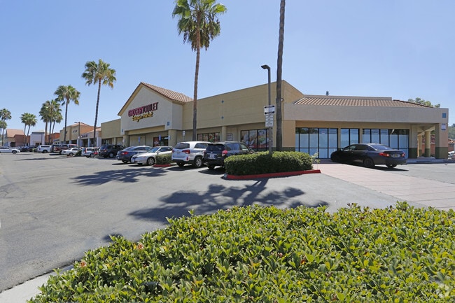

Property Detail
Campo Rd
500-261-31
SEC 28-16-1W POR
Commercialacreage
SAN DIEGO
C36
California
B and X Area of moderate flood hazard, usually the area between the limits of the 100-year and 500-year floods.
1.26 AC
2024
Lemon Grv/Spring Vly
2025
San Diego
013503
San Diego-Chula Vista-Carlsbad, CA
NEARBY LISTINGS FOR SALE OR LEASE
DEMOGRAPHICS near Campo Rd
1 mile
3 mile
5 mile
2025 Total Population
15,071
131,157
378,529
2030 Population
14,991
130,982
378,307
Pop Growth 2025-2030
(0.53%)
(0.13%)
(0.06%)
Average Age
40
40
39
2025 Total Households
5,082
44,834
129,007
HH Growth 2025-2030
(0.75%)
(0.28%)
(0.19%)
Median Household Inc
$107,483
$97,098
$91,162
Avg Household Size
2.90
2.80
2.80
2025 Avg HH Vehicles
2.00
2.00
2.00
Median Home Value
$755,774
$761,569
$749,728
Median Year Built
1971
1973
1972
Nearby Places
Map Layers
Map Styles
 Street
 Aerial
Transit
 Traffic
 Biking
Places
Listings with unknown addresses are not visible on the map
- Restaurants
- Banks
- Shops
- Fitness
- Groceries
PUBLIC TRANSPORTATION
AIRPORT
San Diego International
Drive
Walk
Distance
San Diego International
19 min
14.7 mi
Freight Ports
Port of San Diego
Drive
Walk
Distance
Port of San Diego
17 min
12.0 mi
SALE & LEASE HISTORY
LISTING DATE
SALE/LEASE

Jan 09, 2017
For Lease
Nearby Properties
Address
Land Use
TOTAL SIZE
Lot Size
Zoning
Address
Land Use
TOTAL SIZE
Lot Size
Zoning
30.38 AC
RB
Address
Land Use
TOTAL SIZE
Lot Size
Zoning
62.04 AC
C
Address
Land Use
TOTAL SIZE
Lot Size
Zoning
6.79 AC
C
Address
Land Use
TOTAL SIZE
Lot Size
Zoning
4.77 AC
C
Address
Land Use
TOTAL SIZE
Lot Size
Zoning
22.09 AC
RV
Address
Land Use
TOTAL SIZE
Lot Size
Zoning
4.10 AC
RB
Address
Land Use
TOTAL SIZE
Lot Size
Zoning
11.28 AC
C
Address
Land Use
TOTAL SIZE
Lot Size
Zoning
Address
Land Use
TOTAL SIZE
Lot Size
Zoning
92,988 SF
6.12 AC
RB
Address
Land Use
TOTAL SIZE
Lot Size
Zoning
5.17 AC
R3
Address
Land Use
TOTAL SIZE
Lot Size
Zoning
89,332 SF
1.14 AC
C
Address
Land Use
TOTAL SIZE
Lot Size
Zoning
83,324 SF
5.17 AC
RU
Address
Land Use
TOTAL SIZE
Lot Size
Zoning
96,664 SF
1.63 AC
CIVIC CENT
Address
Land Use
TOTAL SIZE
Lot Size
Zoning
78,360 SF
5.69 AC
RU
Address
Land Use
TOTAL SIZE
Lot Size
Zoning
96,140 SF
3.65 AC
RU
Address
Land Use
TOTAL SIZE
Lot Size
Zoning
9.76 AC
C31
Address
Land Use
TOTAL SIZE
Lot Size
Zoning
98,752 SF
4.10 AC
RU
Address
Land Use
TOTAL SIZE
Lot Size
Zoning
95,506 SF
4.65 AC
RU
Address
Land Use
TOTAL SIZE
Lot Size
Zoning
1.25 AC
C
Address
Land Use
TOTAL SIZE
Lot Size
Zoning
10.89 AC
CM
Address
Land Use
TOTAL SIZE
Lot Size
Zoning
92,295 SF
6.50 AC
M52
Address
Land Use
TOTAL SIZE
Lot Size
Zoning
14.62 AC
M58
Address
Land Use
TOTAL SIZE
Lot Size
Zoning
68,164 SF
3.59 AC
R3
Address
Land Use
TOTAL SIZE
Lot Size
Zoning
5.27 AC
RU
Address
Land Use
TOTAL SIZE
Lot Size
Zoning
0.80 AC
C
Address
Land Use
TOTAL SIZE
Lot Size
Zoning
1.42 AC
M
Address
Land Use
TOTAL SIZE
Lot Size
Zoning
15.88 AC
RU
Address
Land Use
TOTAL SIZE
Lot Size
Zoning
10.05 AC
C
Address
Land Use
TOTAL SIZE
Lot Size
Zoning
10 AC
S88
Address
Land Use
TOTAL SIZE
Lot Size
Zoning
68,990 SF
7.58 AC
S88
The World's #1 Commercial Real Estate Marketplace
Connect with us
© 2026 CoStar Group
The information above has been obtained from sources believed reliable. While we do not doubt its accuracy we have not verified it and make no guarantee, warranty or representation about it. It is your responsibility to independently confirm its accuracy and completeness. Any projections, opinions, assumptions, or estimates used are for example only and do not represent the current or future performance of the property. The value of this transaction to you depends on tax and other factors which should be evaluated by your tax, financial, and legal advisors. You and your advisors should conduct a careful, independent investigation of the property to determine to your satisfaction the suitability of the property for your needs.