Property Record
Cr283 Hawkins Rd, Sargent, TX 77414

Property Detail
Cr283 Hawkins Rd
Bay City, TX
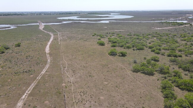
AB 0157, J E FIELD, ACRES 862.
16107
MATAGORDA
Agriculturalland
Texas
2025
1,104.92 AC
2025
Texas South Area
730303
Other Market Areas
2,000 SF
NEARBY LISTINGS FOR SALE OR LEASE
-
-
View all Sargent listings for sale on LoopNet.com
DEMOGRAPHICS near Cr283 Hawkins Rd
1 mile
3 mile
5 mile
2025 Total Population
164
2,045
2,580
2030 Population
181
2,239
2,826
Pop Growth 2025-2030
+ 10.37%
+ 9.49%
+ 9.53%
Average Age
52
52
52
2025 Total Households
78
975
1,232
HH Growth 2025-2030
+ 10.26%
+ 9.54%
+ 9.50%
Median Household Inc
$66,750
$57,584
$58,090
Avg Household Size
2.00
2.10
2.00
2025 Avg HH Vehicles
2.00
2.00
2.00
Median Home Value
$199,999
$191,114
$192,010
Median Year Built
1973
1976
1976
Nearby Places
Map Layers
Map Styles
 Street
 Aerial
Layers
 Traffic
 Biking
Places
Listings with unknown addresses are not visible on the map
- Restaurants
- Banks
- Shops
- Fitness
- Groceries
SALE & LEASE HISTORY
LISTING DATE
SALE/LEASE

Nov 04, 2021
For Sale
Nearby Properties
Address
Land Use
TOTAL SIZE
Lot Size
Zoning
Address
Land Use
TOTAL SIZE
Lot Size
Zoning
1,440 SF
3,413.17 AC
Address
Land Use
TOTAL SIZE
Lot Size
Zoning
Address
Land Use
TOTAL SIZE
Lot Size
Zoning
1,181.60 AC
Address
Land Use
TOTAL SIZE
Lot Size
Zoning
336 SF
278.05 AC
Address
Land Use
TOTAL SIZE
Lot Size
Zoning
862 AC
Address
Land Use
TOTAL SIZE
Lot Size
Zoning
252.96 AC
Address
Land Use
TOTAL SIZE
Lot Size
Zoning
3,304 SF
1.08 AC
Address
Land Use
TOTAL SIZE
Lot Size
Zoning
5,000 SF
2.49 AC
Address
Land Use
TOTAL SIZE
Lot Size
Zoning
0.14 AC
Address
Land Use
TOTAL SIZE
Lot Size
Zoning
1,440 SF
0.31 AC
Address
Land Use
TOTAL SIZE
Lot Size
Zoning
9,768 SF
3.27 AC
Address
Land Use
TOTAL SIZE
Lot Size
Zoning
1,608 SF
0.49 AC
Address
Land Use
TOTAL SIZE
Lot Size
Zoning
1,332 SF
1.31 AC
Address
Land Use
TOTAL SIZE
Lot Size
Zoning
1,634 SF
0.96 AC
Address
Land Use
TOTAL SIZE
Lot Size
Zoning
2,000 SF
0.20 AC
Address
Land Use
TOTAL SIZE
Lot Size
Zoning
2,240 SF
0.84 AC
Address
Land Use
TOTAL SIZE
Lot Size
Zoning
672 SF
0.86 AC
Address
Land Use
TOTAL SIZE
Lot Size
Zoning
1,576 SF
0.36 AC
Address
Land Use
TOTAL SIZE
Lot Size
Zoning
784 SF
2.64 AC
Address
Land Use
TOTAL SIZE
Lot Size
Zoning
1,040 SF
0.74 AC
Address
Land Use
TOTAL SIZE
Lot Size
Zoning
718 SF
1.10 AC
Address
Land Use
TOTAL SIZE
Lot Size
Zoning
1,800 SF
0.86 AC
Address
Land Use
TOTAL SIZE
Lot Size
Zoning
95.38 AC
Address
Land Use
TOTAL SIZE
Lot Size
Zoning
1,650 SF
0.28 AC
Address
Land Use
TOTAL SIZE
Lot Size
Zoning
988 SF
0.58 AC
Address
Land Use
TOTAL SIZE
Lot Size
Zoning
1,935 SF
0.28 AC
Address
Land Use
TOTAL SIZE
Lot Size
Zoning
79.46 AC
Address
Land Use
TOTAL SIZE
Lot Size
Zoning
2.06 AC
Address
Land Use
TOTAL SIZE
Lot Size
Zoning
1.23 AC
The World's #1 Commercial Real Estate Marketplace
Connect with us
© 2026 CoStar Group
The information above has been obtained from sources believed reliable. While we do not doubt its accuracy we have not verified it and make no guarantee, warranty or representation about it. It is your responsibility to independently confirm its accuracy and completeness. Any projections, opinions, assumptions, or estimates used are for example only and do not represent the current or future performance of the property. The value of this transaction to you depends on tax and other factors which should be evaluated by your tax, financial, and legal advisors. You and your advisors should conduct a careful, independent investigation of the property to determine to your satisfaction the suitability of the property for your needs.