Property Record
D4/65 Vac Vic Ave, Lancaster, CA 93536

Property Detail
D4/65 Vac Vic Ave
Los Angeles-Long Beach-Glendale, CA
*SW 1/4 OF NE 1/4 OF SEC 22 T 8N R 13W
3201-003-041
LOS ANGELES
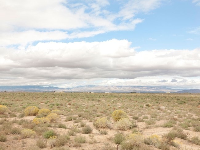
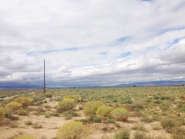
Agriculturalland
California
LCD22*
22
B and X Area of moderate flood hazard, usually the area between the limits of the 100-year and 500-year floods.
39.95 AC
2025
Antelope Valley
2025
Los Angeles
901214
NEARBY LISTINGS FOR SALE OR LEASE
DEMOGRAPHICS near D4/65 Vac Vic Ave
1 mile
3 mile
5 mile
2025 Total Population
1,279
2,621
4,123
2030 Population
1,319
2,701
4,252
Pop Growth 2025-2030
+ 3.13%
+ 3.05%
+ 3.13%
Average Age
42
42
42
2025 Total Households
412
844
1,345
HH Growth 2025-2030
+ 3.16%
+ 2.73%
+ 2.97%
Median Household Inc
$89,618
$93,325
$78,873
Avg Household Size
3.00
3.00
3.00
2025 Avg HH Vehicles
3.00
3.00
3.00
Median Home Value
$523,585
$494,206
$492,487
Median Year Built
1989
1986
1989
Nearby Places
Map Layers
Map Styles
 Street
 Aerial
Layers
 Traffic
 Biking
Places
Listings with unknown addresses are not visible on the map
- Restaurants
- Banks
- Shops
- Fitness
- Groceries
SALE & LEASE HISTORY
LISTING DATE
SALE/LEASE

Sep 06, 2017
For Sale
Nearby Properties
Address
Land Use
TOTAL SIZE
Lot Size
Zoning
Address
Land Use
TOTAL SIZE
Lot Size
Zoning
249,045 SF
19.74 AC
LRMPD*
Address
Land Use
TOTAL SIZE
Lot Size
Zoning
11,603 SF
475.12 AC
LCA2
Address
Land Use
TOTAL SIZE
Lot Size
Zoning
78.84 AC
LCD22*
Address
Land Use
TOTAL SIZE
Lot Size
Zoning
11,558 SF
3.81 AC
LCC4-A11*
Address
Land Use
TOTAL SIZE
Lot Size
Zoning
37.01 AC
LRA12*
Address
Land Use
TOTAL SIZE
Lot Size
Zoning
59.44 AC
LCA2
Address
Land Use
TOTAL SIZE
Lot Size
Zoning
1 SF
55.38 AC
LCA2
Address
Land Use
TOTAL SIZE
Lot Size
Zoning
7,798 SF
1.13 AC
LCC4*
Address
Land Use
TOTAL SIZE
Lot Size
Zoning
6,800 SF
0.78 AC
LCC4*
Address
Land Use
TOTAL SIZE
Lot Size
Zoning
157.51 AC
LCA12*
Address
Land Use
TOTAL SIZE
Lot Size
Zoning
2.14 AC
LCA12*
Address
Land Use
TOTAL SIZE
Lot Size
Zoning
2,710 SF
2.39 AC
LCC4-A11*
Address
Land Use
TOTAL SIZE
Lot Size
Zoning
5,341 SF
9.96 AC
LCA12*
Address
Land Use
TOTAL SIZE
Lot Size
Zoning
9.76 AC
LRSP
Address
Land Use
TOTAL SIZE
Lot Size
Zoning
39.09 AC
LRMPD*
Address
Land Use
TOTAL SIZE
Lot Size
Zoning
3,405 SF
2.32 AC
LRMPD*
Address
Land Use
TOTAL SIZE
Lot Size
Zoning
38.48 AC
LRA12*
Address
Land Use
TOTAL SIZE
Lot Size
Zoning
Address
Land Use
TOTAL SIZE
Lot Size
Zoning
818 SF
35.89 AC
LCD22*
Address
Land Use
TOTAL SIZE
Lot Size
Zoning
13.27 AC
LRMPD*
Address
Land Use
TOTAL SIZE
Lot Size
Zoning
19.36 AC
LRMPD*
Address
Land Use
TOTAL SIZE
Lot Size
Zoning
79.17 AC
LCA11*
Address
Land Use
TOTAL SIZE
Lot Size
Zoning
20.12 AC
LCA11*
Address
Land Use
TOTAL SIZE
Lot Size
Zoning
1,953 SF
1.53 AC
LRMPD*
Address
Land Use
TOTAL SIZE
Lot Size
Zoning
10.04 AC
LRA12*
Address
Land Use
TOTAL SIZE
Lot Size
Zoning
11.40 AC
LRMPD*
Address
Land Use
TOTAL SIZE
Lot Size
Zoning
19.38 AC
LRMPD*
Address
Land Use
TOTAL SIZE
Lot Size
Zoning
84.86 AC
LCA2
Address
Land Use
TOTAL SIZE
Lot Size
Zoning
9.80 AC
LRMPD*
The World's #1 Commercial Real Estate Marketplace
Connect with us
© 2026 CoStar Group
The information above has been obtained from sources believed reliable. While we do not doubt its accuracy we have not verified it and make no guarantee, warranty or representation about it. It is your responsibility to independently confirm its accuracy and completeness. Any projections, opinions, assumptions, or estimates used are for example only and do not represent the current or future performance of the property. The value of this transaction to you depends on tax and other factors which should be evaluated by your tax, financial, and legal advisors. You and your advisors should conduct a careful, independent investigation of the property to determine to your satisfaction the suitability of the property for your needs.