Property Record
Dewitt Rd, Modesto, CA

Property Detail
Dewitt Rd
014-26-06
STANISLAUS
Orchard
California
B and X Area of moderate flood hazard, usually the area between the limits of the 100-year and 500-year floods.
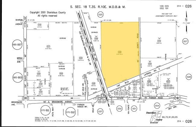
61.04 AC
2025
Modesto
2025
Stockton/Modesto
002802
Modesto, CA
NEARBY LISTINGS FOR SALE OR LEASE
DEMOGRAPHICS near Dewitt Rd
1 mile
3 mile
5 mile
2025 Total Population
3,590
57,377
157,670
2030 Population
3,622
57,467
158,454
Pop Growth 2025-2030
+ 0.89%
+ 0.16%
+ 0.50%
Average Age
42
38
38
2025 Total Households
1,297
19,174
53,102
HH Growth 2025-2030
+ 0.77%
+ 0.15%
+ 0.50%
Median Household Inc
$102,519
$94,844
$86,351
Avg Household Size
2.80
2.90
2.90
2025 Avg HH Vehicles
2.00
2.00
2.00
Median Home Value
$490,587
$468,603
$459,695
Median Year Built
1989
1986
1979
Nearby Places
Map Layers
Map Styles
 Street
 Aerial
Layers
 Traffic
 Biking
Places
Listings with unknown addresses are not visible on the map
- Restaurants
- Banks
- Shops
- Fitness
- Groceries
PUBLIC TRANSPORTATION
AIRPORT
Stockton Metro
Drive
Walk
Distance
Stockton Metro
42 min
29.2 mi
Freight Ports
Port of Stockton
Drive
Walk
Distance
Port of Stockton
51 min
37.7 mi
SALE & LEASE HISTORY
LISTING DATE
SALE/LEASE

Feb 15, 2019
For Sale
Nearby Properties
Address
Land Use
TOTAL SIZE
Lot Size
Zoning
Address
Land Use
TOTAL SIZE
Lot Size
Zoning
517,008 SF
71.35 AC
Address
Land Use
TOTAL SIZE
Lot Size
Zoning
448,549 SF
58.48 AC
Address
Land Use
TOTAL SIZE
Lot Size
Zoning
154,264 SF
7.63 AC
Address
Land Use
TOTAL SIZE
Lot Size
Zoning
224,940 SF
9.40 AC
MODSP
Address
Land Use
TOTAL SIZE
Lot Size
Zoning
192,858 SF
10.44 AC
Address
Land Use
TOTAL SIZE
Lot Size
Zoning
231,178 SF
10.04 AC
R3
Address
Land Use
TOTAL SIZE
Lot Size
Zoning
476,580 SF
44.60 AC
Address
Land Use
TOTAL SIZE
Lot Size
Zoning
79,458 SF
5.32 AC
Address
Land Use
TOTAL SIZE
Lot Size
Zoning
164,740 SF
9.35 AC
Address
Land Use
TOTAL SIZE
Lot Size
Zoning
233,787 SF
14.65 AC
Address
Land Use
TOTAL SIZE
Lot Size
Zoning
98,140 SF
6.04 AC
Address
Land Use
TOTAL SIZE
Lot Size
Zoning
53,976 SF
2 AC
Address
Land Use
TOTAL SIZE
Lot Size
Zoning
102,200 SF
9.85 AC
Address
Land Use
TOTAL SIZE
Lot Size
Zoning
366,400 SF
23.90 AC
Address
Land Use
TOTAL SIZE
Lot Size
Zoning
117,526 SF
5.56 AC
Address
Land Use
TOTAL SIZE
Lot Size
Zoning
9,000 SF
0.92 AC
Address
Land Use
TOTAL SIZE
Lot Size
Zoning
86,224 SF
22.84 AC
Address
Land Use
TOTAL SIZE
Lot Size
Zoning
70,035 SF
5.30 AC
Address
Land Use
TOTAL SIZE
Lot Size
Zoning
149,756 SF
9.68 AC
Address
Land Use
TOTAL SIZE
Lot Size
Zoning
50,396 SF
10.60 AC
Address
Land Use
TOTAL SIZE
Lot Size
Zoning
160,117 SF
8.91 AC
Address
Land Use
TOTAL SIZE
Lot Size
Zoning
147,749 SF
8.84 AC
Address
Land Use
TOTAL SIZE
Lot Size
Zoning
117,959 SF
5.06 AC
MODSP
Address
Land Use
TOTAL SIZE
Lot Size
Zoning
65,978 SF
5.84 AC
PC
Address
Land Use
TOTAL SIZE
Lot Size
Zoning
225,013 SF
15 AC
Address
Land Use
TOTAL SIZE
Lot Size
Zoning
31,012 SF
11.08 AC
MODPD
Address
Land Use
TOTAL SIZE
Lot Size
Zoning
37.92 AC
Address
Land Use
TOTAL SIZE
Lot Size
Zoning
88,854 SF
4.98 AC
PD
Address
Land Use
TOTAL SIZE
Lot Size
Zoning
47,700 SF
2.29 AC
Address
Land Use
TOTAL SIZE
Lot Size
Zoning
57,360 SF
5.01 AC
The World's #1 Commercial Real Estate Marketplace
Connect with us
© 2026 CoStar Group
The information above has been obtained from sources believed reliable. While we do not doubt its accuracy we have not verified it and make no guarantee, warranty or representation about it. It is your responsibility to independently confirm its accuracy and completeness. Any projections, opinions, assumptions, or estimates used are for example only and do not represent the current or future performance of the property. The value of this transaction to you depends on tax and other factors which should be evaluated by your tax, financial, and legal advisors. You and your advisors should conduct a careful, independent investigation of the property to determine to your satisfaction the suitability of the property for your needs.