No Photo
Property Record
Ferncliff Rd, Louisa, VA 23093

Save to a Folder
{{folder.Name}}
{{folder.ListingIds.length}} Properties
{{folder.ListingIds.length}} Property
Create a New Folder
Property Detail
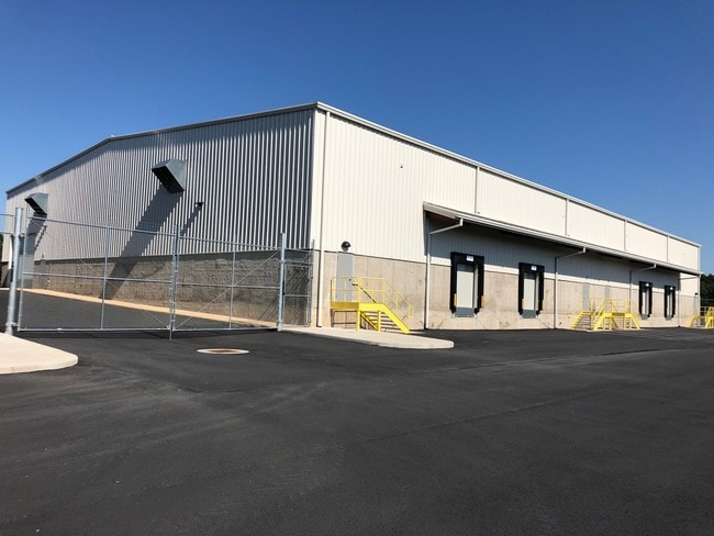
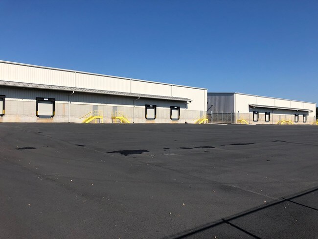
Ferncliff Rd
67-70
ROUNDABOUT DB 997/719 22.19 AC
Agriculturalland
LOUISA
C2
Virginia
B and X Area of moderate flood hazard, usually the area between the limits of the 100-year and 500-year floods.
22.20 AC
2025
Louisa County
2026
Richmond VA
950201
NEARBY LISTINGS FOR SALE OR LEASE
-
-
View all Louisa listings for lease on LoopNet.com
DEMOGRAPHICS near Ferncliff Rd
1 mile
3 mile
5 mile
2025 Total Population
233
2,402
4,882
2030 Population
250
2,559
5,161
Pop Growth 2025-2030
+ 7.30%
+ 6.54%
+ 5.71%
Average Age
43
43
43
2025 Total Households
84
876
1,824
HH Growth 2025-2030
+ 7.14%
+ 6.28%
+ 5.54%
Median Household Inc
$64,000
$65,204
$68,475
Avg Household Size
2.60
2.60
2.60
2025 Avg HH Vehicles
2.00
2.00
2.00
Median Home Value
$303,571
$298,097
$304,498
Median Year Built
1995
1994
1994
Nearby Places
Map Layers
Map Styles
 Street
 Aerial
Layers
 Traffic
 Biking
Places
Listings with unknown addresses are not visible on the map
- Restaurants
- Banks
- Shops
- Fitness
- Groceries
PUBLIC TRANSPORTATION
AIRPORT
Charlottesville-Albemarle
Drive
Walk
Distance
Charlottesville-Albemarle
46 min
31.1 mi
Freight Ports
Virginia Port Authority - Richmond
Drive
Walk
Distance
Virginia Port Authority - Richmond
67 min
55.1 mi
SALE & LEASE HISTORY
LISTING DATE
SALE/LEASE

Oct 16, 2018
For Lease
Apr 14, 2017
For Lease
Nearby Properties
Address
Land Use
TOTAL SIZE
Lot Size
Zoning
Address
Land Use
TOTAL SIZE
Lot Size
Zoning
103.84 AC
A1
Address
Land Use
TOTAL SIZE
Lot Size
Zoning
6.35 AC
Address
Land Use
TOTAL SIZE
Lot Size
Zoning
7.75 AC
Address
Land Use
TOTAL SIZE
Lot Size
Zoning
2.86 AC
I1
Address
Land Use
TOTAL SIZE
Lot Size
Zoning
21.87 AC
Address
Land Use
TOTAL SIZE
Lot Size
Zoning
13,009 SF
11.42 AC
A-1
Address
Land Use
TOTAL SIZE
Lot Size
Zoning
8,182 SF
12.56 AC
C2
Address
Land Use
TOTAL SIZE
Lot Size
Zoning
11.25 AC
Address
Land Use
TOTAL SIZE
Lot Size
Zoning
1,584 SF
34.26 AC
A1
Address
Land Use
TOTAL SIZE
Lot Size
Zoning
2,900 SF
6.10 AC
A2
Address
Land Use
TOTAL SIZE
Lot Size
Zoning
8.91 AC
Address
Land Use
TOTAL SIZE
Lot Size
Zoning
66.64 AC
A2
Address
Land Use
TOTAL SIZE
Lot Size
Zoning
8.38 AC
Address
Land Use
TOTAL SIZE
Lot Size
Zoning
2,235 SF
1.55 AC
A2
Address
Land Use
TOTAL SIZE
Lot Size
Zoning
2,297 SF
1.74 AC
A2
Address
Land Use
TOTAL SIZE
Lot Size
Zoning
1,957 SF
206 AC
A2
Address
Land Use
TOTAL SIZE
Lot Size
Zoning
2,292 SF
1.57 AC
A2
Address
Land Use
TOTAL SIZE
Lot Size
Zoning
1,956 SF
2.19 AC
A2
Address
Land Use
TOTAL SIZE
Lot Size
Zoning
6.88 AC
Address
Land Use
TOTAL SIZE
Lot Size
Zoning
14.90 AC
C2
Address
Land Use
TOTAL SIZE
Lot Size
Zoning
1.50 AC
A2
Address
Land Use
TOTAL SIZE
Lot Size
Zoning
22.20 AC
C2
Address
Land Use
TOTAL SIZE
Lot Size
Zoning
7.11 AC
Address
Land Use
TOTAL SIZE
Lot Size
Zoning
15.50 AC
C2
Address
Land Use
TOTAL SIZE
Lot Size
Zoning
5,608 SF
3.05 AC
A2
Address
Land Use
TOTAL SIZE
Lot Size
Zoning
90 AC
A-1
Address
Land Use
TOTAL SIZE
Lot Size
Zoning
1,998 SF
93 AC
A1
Address
Land Use
TOTAL SIZE
Lot Size
Zoning
124 AC
A1
Address
Land Use
TOTAL SIZE
Lot Size
Zoning
72.20 AC
A1
Address
Land Use
TOTAL SIZE
Lot Size
Zoning
1,836 SF
5 AC
A2
The World's #1 Commercial Real Estate Marketplace
Connect with us
© 2026 CoStar Group
The information above has been obtained from sources believed reliable. While we do not doubt its accuracy we have not verified it and make no guarantee, warranty or representation about it. It is your responsibility to independently confirm its accuracy and completeness. Any projections, opinions, assumptions, or estimates used are for example only and do not represent the current or future performance of the property. The value of this transaction to you depends on tax and other factors which should be evaluated by your tax, financial, and legal advisors. You and your advisors should conduct a careful, independent investigation of the property to determine to your satisfaction the suitability of the property for your needs.