Property Record
Fm 1093, Fulshear, TX 77441
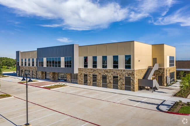

Property Detail
Fm 1093
Houston-Pasadena-The Woodlands, TX
0050 E LATHAM, TRACT 3 (PT), ACRES 0.3413
0050-00-000-0381-901
FORT BEND
Residentialacreage
Texas
B and X Area of moderate flood hazard, usually the area between the limits of the 100-year and 500-year floods.
0.34 AC
2024
Southwest Outlier
2025
Houston
673202
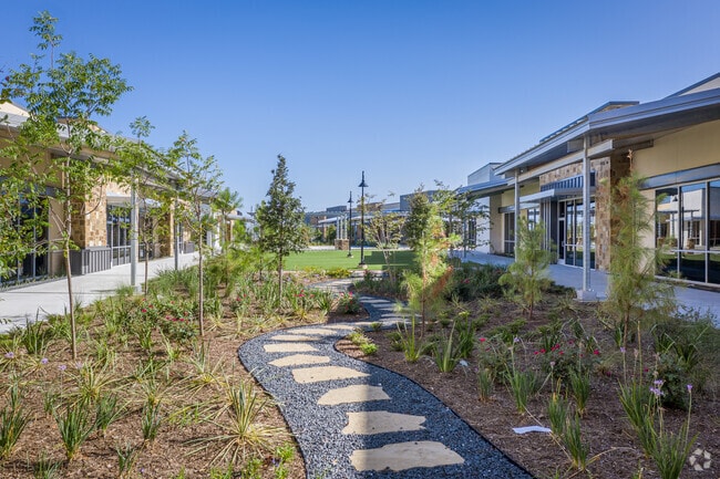
NEARBY LISTINGS FOR SALE OR LEASE
DEMOGRAPHICS near Fm 1093
1 mile
3 mile
5 mile
2025 Total Population
4,421
54,367
148,291
2030 Population
5,248
63,000
170,538
Pop Growth 2025-2030
+ 18.71%
+ 15.88%
+ 15.00%
Average Age
35
35
35
2025 Total Households
1,366
16,227
44,504
HH Growth 2025-2030
+ 19.33%
+ 16.56%
+ 15.63%
Median Household Inc
$158,856
$158,438
$162,327
Avg Household Size
3.20
3.40
3.30
2025 Avg HH Vehicles
2.00
2.00
2.00
Median Home Value
$571,847
$513,618
$535,897
Median Year Built
2011
2011
2011
Nearby Places
Map Layers
Map Styles
 Street
 Aerial
Transit
 Traffic
 Biking
Places
Listings with unknown addresses are not visible on the map
- Restaurants
- Banks
- Shops
- Fitness
- Groceries
SALE & LEASE HISTORY
LISTING DATE
SALE/LEASE

Aug 09, 2022
For Lease
Aug 01, 2018
For Lease
Nearby Properties
Address
Land Use
TOTAL SIZE
Lot Size
Zoning
Address
Land Use
TOTAL SIZE
Lot Size
Zoning
39.24 AC
Address
Land Use
TOTAL SIZE
Lot Size
Zoning
83.43 AC
Address
Land Use
TOTAL SIZE
Lot Size
Zoning
165,097 SF
43.81 AC
Address
Land Use
TOTAL SIZE
Lot Size
Zoning
21.54 AC
Address
Land Use
TOTAL SIZE
Lot Size
Zoning
Address
Land Use
TOTAL SIZE
Lot Size
Zoning
14.80 AC
Address
Land Use
TOTAL SIZE
Lot Size
Zoning
71.96 AC
Address
Land Use
TOTAL SIZE
Lot Size
Zoning
14.88 AC
Address
Land Use
TOTAL SIZE
Lot Size
Zoning
Address
Land Use
TOTAL SIZE
Lot Size
Zoning
Address
Land Use
TOTAL SIZE
Lot Size
Zoning
14.58 AC
Address
Land Use
TOTAL SIZE
Lot Size
Zoning
18,240 SF
66.52 AC
MYN
Address
Land Use
TOTAL SIZE
Lot Size
Zoning
120,000 SF
13.48 AC
Address
Land Use
TOTAL SIZE
Lot Size
Zoning
123,960 SF
13.76 AC
Address
Land Use
TOTAL SIZE
Lot Size
Zoning
12.58 AC
Address
Land Use
TOTAL SIZE
Lot Size
Zoning
6,725 SF
23.26 AC
S
Address
Land Use
TOTAL SIZE
Lot Size
Zoning
123,154 SF
10.83 AC
Address
Land Use
TOTAL SIZE
Lot Size
Zoning
Address
Land Use
TOTAL SIZE
Lot Size
Zoning
25,956 SF
16.56 AC
S
Address
Land Use
TOTAL SIZE
Lot Size
Zoning
58,037 SF
18.96 AC
QXS
Address
Land Use
TOTAL SIZE
Lot Size
Zoning
Address
Land Use
TOTAL SIZE
Lot Size
Zoning
3,241 SF
2,198.05 AC
Address
Land Use
TOTAL SIZE
Lot Size
Zoning
12.07 AC
Address
Land Use
TOTAL SIZE
Lot Size
Zoning
5.10 AC
Address
Land Use
TOTAL SIZE
Lot Size
Zoning
6.02 AC
Address
Land Use
TOTAL SIZE
Lot Size
Zoning
2.53 AC
Address
Land Use
TOTAL SIZE
Lot Size
Zoning
3.78 AC
Address
Land Use
TOTAL SIZE
Lot Size
Zoning
7.07 AC
Address
Land Use
TOTAL SIZE
Lot Size
Zoning
6.69 AC
Address
Land Use
TOTAL SIZE
Lot Size
Zoning
2.50 AC
The World's #1 Commercial Real Estate Marketplace
Connect with us
© 2026 CoStar Group
The information above has been obtained from sources believed reliable. While we do not doubt its accuracy we have not verified it and make no guarantee, warranty or representation about it. It is your responsibility to independently confirm its accuracy and completeness. Any projections, opinions, assumptions, or estimates used are for example only and do not represent the current or future performance of the property. The value of this transaction to you depends on tax and other factors which should be evaluated by your tax, financial, and legal advisors. You and your advisors should conduct a careful, independent investigation of the property to determine to your satisfaction the suitability of the property for your needs.