Property Record
Highway 138 Sw, Conyers, GA 30094
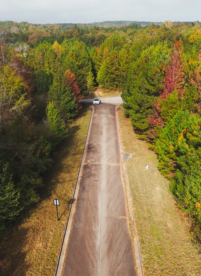
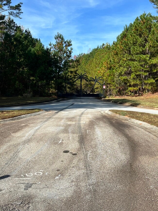
This Property Is For Sale
NEARBY LISTINGS FOR SALE OR LEASE
Property Detail
Highway 138 Sw
Atlanta-Sandy Springs-Roswell, GA
Rural
013-0-01-005A
S/SIDE DANIELS BRIDGE RD
Agriculturalland
Rockdale
X
Georgia
13247C0151D
202
2024
49.97 AC
2025
I-20 East/Conyers
060411
Atlanta
DEMOGRAPHICS near Highway 138 Sw
1 Mile
3 Mile
5 Mile
2024 Total Population
841
13,962
50,225
2029 Population
858
14,150
51,468
Pop Growth 2024-2029
+ 2.02%
+ 1.35%
+ 2.47%
Average Age
43
41
41
2024 Total Households
285
4,861
18,152
HH Growth 2024-2029
+ 2.11%
+ 1.36%
+ 2.48%
Median Household Inc
$74,999
$72,015
$75,966
Avg Household Size
2.90
2.80
2.70
2024 Avg HH Vehicles
3.00
2.00
2.00
Median Home Value
$268,348
$238,478
$239,416
Median Year Built
1995
1999
1994
Nearby Places
Map Layers
Map Styles
 Street
 Aerial
- Restaurants
- Banks
- Shops
- Fitness
- Groceries
PUBLIC TRANSPORTATION
AIRPORT
Hartsfield - Jackson Atlanta International
DRIVE
WALK
Distance
Hartsfield - Jackson Atlanta International
41 min
26.8 mi
Freight Ports
Georgia Ports - Savannah
DRIVE
WALK
Distance
Georgia Ports - Savannah
270 min
236.1 mi
Nearby Properties
Address
Land Use
TOTAL SIZE
Lot Size
Zoning
Address
Land Use
TOTAL SIZE
Lot Size
Zoning
88,314 SF
107.40 AC
AR
Address
Land Use
TOTAL SIZE
Lot Size
Zoning
69,417 SF
13.85 AC
C1/C
Address
Land Use
TOTAL SIZE
Lot Size
Zoning
113,548 SF
15 AC
AR
Address
Land Use
TOTAL SIZE
Lot Size
Zoning
82,000 SF
23.58 AC
AR
Address
Land Use
TOTAL SIZE
Lot Size
Zoning
2,636 SF
110.71 AC
AR
Address
Land Use
TOTAL SIZE
Lot Size
Zoning
14,900 SF
1.83 AC
X
Address
Land Use
TOTAL SIZE
Lot Size
Zoning
9.90 AC
R85
Address
Land Use
TOTAL SIZE
Lot Size
Zoning
113.51 AC
AR/R1/C
Address
Land Use
TOTAL SIZE
Lot Size
Zoning
21,840 SF
15 AC
AR
Address
Land Use
TOTAL SIZE
Lot Size
Zoning
14,412 SF
36.40 AC
AR/R1
Address
Land Use
TOTAL SIZE
Lot Size
Zoning
3,621 SF
1.25 AC
C1
Address
Land Use
TOTAL SIZE
Lot Size
Zoning
2,978 SF
1.03 AC
C1
Address
Land Use
TOTAL SIZE
Lot Size
Zoning
10,998 SF
1.81 AC
X
Address
Land Use
TOTAL SIZE
Lot Size
Zoning
58.11 AC
AR
Address
Land Use
TOTAL SIZE
Lot Size
Zoning
15,400 SF
13.35 AC
AR
Address
Land Use
TOTAL SIZE
Lot Size
Zoning
9,421 SF
3.18 AC
AR/C1
Address
Land Use
TOTAL SIZE
Lot Size
Zoning
100.69 AC
X
Address
Land Use
TOTAL SIZE
Lot Size
Zoning
5,670 SF
2.49 AC
OI/COND
Address
Land Use
TOTAL SIZE
Lot Size
Zoning
4,140 SF
2.04 AC
C1
Address
Land Use
TOTAL SIZE
Lot Size
Zoning
9,600 SF
0.65 AC
OI
Address
Land Use
TOTAL SIZE
Lot Size
Zoning
13,960 SF
3.04 AC
OI/C
Address
Land Use
TOTAL SIZE
Lot Size
Zoning
175.80 AC
AR
Address
Land Use
TOTAL SIZE
Lot Size
Zoning
275 AC
AR
Address
Land Use
TOTAL SIZE
Lot Size
Zoning
392.41 AC
R85
Address
Land Use
TOTAL SIZE
Lot Size
Zoning
5,000 SF
1.65 AC
C1
Address
Land Use
TOTAL SIZE
Lot Size
Zoning
7,571 SF
0.96 AC
AR
Address
Land Use
TOTAL SIZE
Lot Size
Zoning
3,956 SF
0.91 AC
C1
Address
Land Use
TOTAL SIZE
Lot Size
Zoning
146.05 AC
AR
Address
Land Use
TOTAL SIZE
Lot Size
Zoning
7,857 SF
1.42 AC
AR
Address
Land Use
TOTAL SIZE
Lot Size
Zoning
8,418 SF
3.05 AC
AR
The World's #1 Commercial Real Estate Marketplace
Connect with us
© 2025 CoStar Group
The information above has been obtained from sources believed reliable. While we do not doubt its accuracy we have not verified it and make no guarantee, warranty or representation about it. It is your responsibility to independently confirm its accuracy and completeness. Any projections, opinions, assumptions, or estimates used are for example only and do not represent the current or future performance of the property. The value of this transaction to you depends on tax and other factors which should be evaluated by your tax, financial, and legal advisors. You and your advisors should conduct a careful, independent investigation of the property to determine to your satisfaction the suitability of the property for your needs.