Property Record
Lighthouse Rd, Dallas, NC 28034

Save to a Folder
{{folder.Name}}
{{folder.ListingIds.length}} Properties
{{folder.ListingIds.length}} Property
Create a New Folder
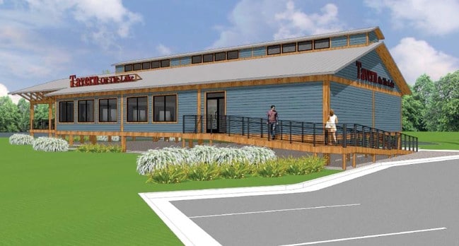
Property Detail
Lighthouse Rd
Charlotte-Concord-Gastonia, NC-SC
TAILRACE MARINA L3 PLAT BK 082 PLAT PG 083
214187
GASTON
Marinefacility
North Carolina
AE The base floodplain where base flood elevations are provided. AE Zones are now used on new format FIRMs instead of A1-A30 Zones.
0.38 AC
2025
Gaston County
2025
Charlotte
031203
NEARBY LISTINGS FOR SALE OR LEASE
DEMOGRAPHICS near Lighthouse Rd
1 mile
3 mile
5 mile
2025 Total Population
4,010
35,255
96,461
2030 Population
4,274
37,617
103,401
Pop Growth 2025-2030
+ 6.58%
+ 6.70%
+ 7.19%
Average Age
39
39
39
2025 Total Households
1,806
14,518
37,740
HH Growth 2025-2030
+ 6.87%
+ 6.76%
+ 7.25%
Median Household Inc
$92,677
$71,138
$80,411
Avg Household Size
2.10
2.30
2.50
2025 Avg HH Vehicles
2.00
2.00
2.00
Median Home Value
$313,559
$328,701
$335,768
Median Year Built
2000
1990
1993
Nearby Places
Map Layers
Map Styles
 Street
 Aerial
Layers
 Traffic
 Biking
Places
Listings with unknown addresses are not visible on the map
- Restaurants
- Banks
- Shops
- Fitness
- Groceries
PUBLIC TRANSPORTATION
AIRPORT
Charlotte/Douglas International
Drive
Walk
Distance
Charlotte/Douglas International
24 min
10.1 mi
Concord-Padgett Regional
Drive
Walk
Distance
Concord-Padgett Regional
36 min
23.0 mi
Freight Ports
North Charleston Terminal
Drive
Walk
Distance
North Charleston Terminal
238 min
205.9 mi
Nearby Properties
Address
Land Use
TOTAL SIZE
Lot Size
Zoning
Address
Land Use
TOTAL SIZE
Lot Size
Zoning
15.94 AC
Address
Land Use
TOTAL SIZE
Lot Size
Zoning
37.49 AC
Address
Land Use
TOTAL SIZE
Lot Size
Zoning
568,252 SF
56.05 AC
I-1(CD)
Address
Land Use
TOTAL SIZE
Lot Size
Zoning
41,508 SF
29.70 AC
Address
Land Use
TOTAL SIZE
Lot Size
Zoning
503,550 SF
59.24 AC
I-1(CD)
Address
Land Use
TOTAL SIZE
Lot Size
Zoning
1,066 SF
70.67 AC
PUB01
Address
Land Use
TOTAL SIZE
Lot Size
Zoning
450,580 SF
36.74 AC
I-2(CD)
Address
Land Use
TOTAL SIZE
Lot Size
Zoning
6.09 AC
Address
Land Use
TOTAL SIZE
Lot Size
Zoning
43.38 AC
Address
Land Use
TOTAL SIZE
Lot Size
Zoning
3,428 SF
13.21 AC
R-17MF
Address
Land Use
TOTAL SIZE
Lot Size
Zoning
1,966 SF
36.06 AC
OFF01
Address
Land Use
TOTAL SIZE
Lot Size
Zoning
25.64 AC
Address
Land Use
TOTAL SIZE
Lot Size
Zoning
23,899 SF
14.57 AC
HC
Address
Land Use
TOTAL SIZE
Lot Size
Zoning
208,635 SF
50.01 AC
Address
Land Use
TOTAL SIZE
Lot Size
Zoning
351,824 SF
20.17 AC
I-1(CD)
Address
Land Use
TOTAL SIZE
Lot Size
Zoning
208,460 SF
23.20 AC
I-1(CD)
Address
Land Use
TOTAL SIZE
Lot Size
Zoning
251,672 SF
26.13 AC
I1CD
Address
Land Use
TOTAL SIZE
Lot Size
Zoning
171,037 SF
4.37 AC
Address
Land Use
TOTAL SIZE
Lot Size
Zoning
260,575 SF
17 AC
I-1(CD)
Address
Land Use
TOTAL SIZE
Lot Size
Zoning
249,645 SF
26.33 AC
I-1(CD)
Address
Land Use
TOTAL SIZE
Lot Size
Zoning
252,539 SF
22.58 AC
R-3
Address
Land Use
TOTAL SIZE
Lot Size
Zoning
255,566 SF
21.29 AC
I-1(CD)
Address
Land Use
TOTAL SIZE
Lot Size
Zoning
215,598 SF
13.68 AC
O-1(CD)
Address
Land Use
TOTAL SIZE
Lot Size
Zoning
201,608 SF
16.71 AC
I-1(CD)
Address
Land Use
TOTAL SIZE
Lot Size
Zoning
25.14 AC
Address
Land Use
TOTAL SIZE
Lot Size
Zoning
48.24 AC
R-3
Address
Land Use
TOTAL SIZE
Lot Size
Zoning
358,450 SF
23.50 AC
STOR2
Address
Land Use
TOTAL SIZE
Lot Size
Zoning
248,161 SF
17.99 AC
B-2
Address
Land Use
TOTAL SIZE
Lot Size
Zoning
204,553 SF
22.65 AC
I-1(CD)
Address
Land Use
TOTAL SIZE
Lot Size
Zoning
3,536 SF
12.07 AC
APT02
The World's #1 Commercial Real Estate Marketplace
Connect with us
© 2026 CoStar Group
The information above has been obtained from sources believed reliable. While we do not doubt its accuracy we have not verified it and make no guarantee, warranty or representation about it. It is your responsibility to independently confirm its accuracy and completeness. Any projections, opinions, assumptions, or estimates used are for example only and do not represent the current or future performance of the property. The value of this transaction to you depends on tax and other factors which should be evaluated by your tax, financial, and legal advisors. You and your advisors should conduct a careful, independent investigation of the property to determine to your satisfaction the suitability of the property for your needs.