Property Record
Merrill Ave, Rialto, CA 92376

Save to a Folder
{{folder.Name}}
{{folder.ListingIds.length}} Properties
{{folder.ListingIds.length}} Property
Create a New Folder
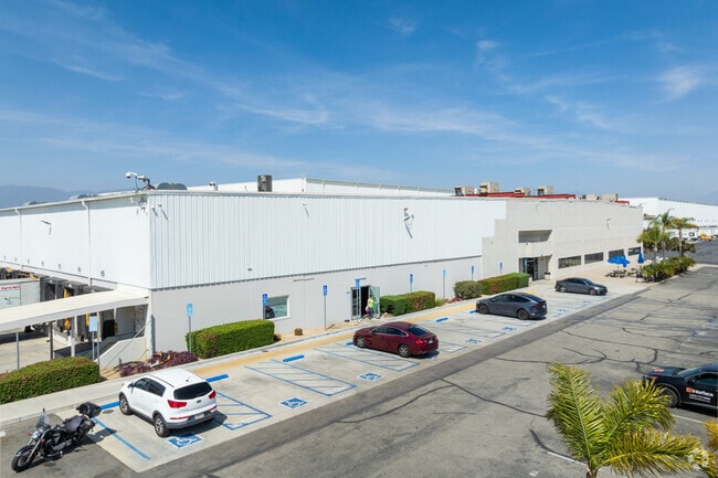
Property Detail
Merrill Ave
Riverside-San Bernardino-Ontario, CA
PARCEL MAP 11026 PARCEL 2
0128-151-41
SAN BERNARDINO
Vacantlandnec
California
B and X Area of moderate flood hazard, usually the area between the limits of the 100-year and 500-year floods.
11.96 AC
2025
San Bernardino
2026
Inland Empire (California)
003510
NEARBY LISTINGS FOR SALE OR LEASE
DEMOGRAPHICS near Merrill Ave
1 mile
3 mile
5 mile
2025 Total Population
24,559
182,819
374,718
2030 Population
24,824
184,460
377,942
Pop Growth 2025-2030
+ 1.08%
+ 0.90%
+ 0.86%
Average Age
34
35
35
2025 Total Households
6,544
47,771
96,556
HH Growth 2025-2030
+ 1.10%
+ 0.94%
+ 0.88%
Median Household Inc
$80,508
$81,015
$83,507
Avg Household Size
3.70
3.70
3.80
2025 Avg HH Vehicles
2.00
2.00
2.00
Median Home Value
$469,190
$467,007
$482,875
Median Year Built
1981
1977
1979
Nearby Places
Map Layers
Map Styles
 Street
 Aerial
Layers
 Traffic
 Biking
Places
Listings with unknown addresses are not visible on the map
- Restaurants
- Banks
- Shops
- Fitness
- Groceries
PUBLIC TRANSPORTATION
COMMUTER RAIL
Rialto Metrolink Station (Metrolink San Bernardino Line - Metrolink Trains)
Drive
Walk
Distance
Rialto Metrolink Station (Metrolink San Bernardino Line - Metrolink Trains)
6 min
2.1 mi
Fontana Metrolink Station (Metrolink San Bernardino Line - Metrolink Trains)
Drive
Walk
Distance
Fontana Metrolink Station (Metrolink San Bernardino Line - Metrolink Trains)
7 min
3.3 mi
AIRPORT
Ontario International
Drive
Walk
Distance
Ontario International
22 min
14.7 mi
Freight Ports
Port of Long Beach
Drive
Walk
Distance
Port of Long Beach
84 min
67.0 mi
SALE & LEASE HISTORY
LISTING DATE
SALE/LEASE

Nov 08, 2018
For Sale
Nov 08, 2018
For Lease
Aug 22, 2018
For Sale
Nearby Properties
Address
Land Use
TOTAL SIZE
Lot Size
Zoning
Address
Land Use
TOTAL SIZE
Lot Size
Zoning
2,027,688 SF
46.50 AC
Address
Land Use
TOTAL SIZE
Lot Size
Zoning
855,000 SF
56.93 AC
Address
Land Use
TOTAL SIZE
Lot Size
Zoning
963,585 SF
43.61 AC
Address
Land Use
TOTAL SIZE
Lot Size
Zoning
677,280 SF
34.53 AC
BLRS1AA
Address
Land Use
TOTAL SIZE
Lot Size
Zoning
344,360 SF
17.32 AC
Address
Land Use
TOTAL SIZE
Lot Size
Zoning
702,668 SF
32.07 AC
Address
Land Use
TOTAL SIZE
Lot Size
Zoning
411,330 SF
19.02 AC
Address
Land Use
TOTAL SIZE
Lot Size
Zoning
1,075,725 SF
36.09 AC
Address
Land Use
TOTAL SIZE
Lot Size
Zoning
1,099,046 SF
48.86 AC
Address
Land Use
TOTAL SIZE
Lot Size
Zoning
401,106 SF
16.91 AC
Address
Land Use
TOTAL SIZE
Lot Size
Zoning
261,632 SF
13.16 AC
Address
Land Use
TOTAL SIZE
Lot Size
Zoning
525,110 SF
24.25 AC
Address
Land Use
TOTAL SIZE
Lot Size
Zoning
614,848 SF
42.71 AC
Address
Land Use
TOTAL SIZE
Lot Size
Zoning
492,631 SF
21 AC
Address
Land Use
TOTAL SIZE
Lot Size
Zoning
595,637 SF
29.70 AC
Address
Land Use
TOTAL SIZE
Lot Size
Zoning
35,260 SF
9.55 AC
Address
Land Use
TOTAL SIZE
Lot Size
Zoning
739,736 SF
46.82 AC
Address
Land Use
TOTAL SIZE
Lot Size
Zoning
758,940 SF
27.52 AC
Address
Land Use
TOTAL SIZE
Lot Size
Zoning
651,120 SF
28.11 AC
Address
Land Use
TOTAL SIZE
Lot Size
Zoning
Address
Land Use
TOTAL SIZE
Lot Size
Zoning
610,400 SF
27.41 AC
BLIR
Address
Land Use
TOTAL SIZE
Lot Size
Zoning
208,510 SF
47.30 AC
BLIC
Address
Land Use
TOTAL SIZE
Lot Size
Zoning
294,304 SF
13.58 AC
Address
Land Use
TOTAL SIZE
Lot Size
Zoning
676,296 SF
29.50 AC
Address
Land Use
TOTAL SIZE
Lot Size
Zoning
206,244 SF
15.22 AC
Address
Land Use
TOTAL SIZE
Lot Size
Zoning
193,823 SF
9.39 AC
Address
Land Use
TOTAL SIZE
Lot Size
Zoning
258,768 SF
8.50 AC
Address
Land Use
TOTAL SIZE
Lot Size
Zoning
426,302 SF
18.33 AC
Address
Land Use
TOTAL SIZE
Lot Size
Zoning
384,841 SF
16.93 AC
Address
Land Use
TOTAL SIZE
Lot Size
Zoning
435,733 SF
18.53 AC
The World's #1 Commercial Real Estate Marketplace
Connect with us
© 2026 CoStar Group
The information above has been obtained from sources believed reliable. While we do not doubt its accuracy we have not verified it and make no guarantee, warranty or representation about it. It is your responsibility to independently confirm its accuracy and completeness. Any projections, opinions, assumptions, or estimates used are for example only and do not represent the current or future performance of the property. The value of this transaction to you depends on tax and other factors which should be evaluated by your tax, financial, and legal advisors. You and your advisors should conduct a careful, independent investigation of the property to determine to your satisfaction the suitability of the property for your needs.