Property Record
Rabanal Trl, Eustis, FL 32736
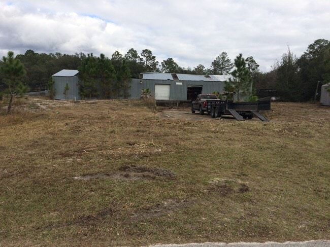

Property Detail
Rabanal Trl
Orlando-Kissimmee-Sanford, FL
W 575 FT OF S 400 FT OF SW 1/4 OF SE 1/4 ORB 1939 PG 1567
05-18-29-0004-000-02000
LAKE
Commercialacreage
Florida
A
11
A Areas with a 1% annual chance of flooding and a 26% chance of flooding over the life of a 30-year mortgage.
24.06 AC
2024
Lake County
2026
Orlando
030112
NEARBY LISTINGS FOR SALE OR LEASE
-
-
View all Eustis listings for sale on LoopNet.com
DEMOGRAPHICS near Rabanal Trl
1 mile
3 mile
5 mile
2025 Total Population
1,681
5,108
7,037
2030 Population
1,944
5,907
8,138
Pop Growth 2025-2030
+ 15.65%
+ 15.64%
+ 15.65%
Average Age
43
44
44
2025 Total Households
642
1,966
2,751
HH Growth 2025-2030
+ 15.73%
+ 15.72%
+ 15.74%
Median Household Inc
$61,528
$60,179
$53,757
Avg Household Size
2.50
2.50
2.50
2025 Avg HH Vehicles
2.00
2.00
2.00
Median Home Value
$193,852
$199,002
$188,829
Median Year Built
1995
1995
1994
Nearby Places
Map Layers
Map Styles
 Street
 Aerial
Layers
 Traffic
 Biking
Places
Listings with unknown addresses are not visible on the map
- Restaurants
- Banks
- Shops
- Fitness
- Groceries
PUBLIC TRANSPORTATION
COMMUTER RAIL
Deland (Silver Meteor - Amtrak, Silver Star - Amtrak, SunRail - Amtrak)
Drive
Walk
Distance
Deland (Silver Meteor - Amtrak, Silver Star - Amtrak, SunRail - Amtrak)
13 min
7.9 mi
AIRPORT
Daytona Beach International
Drive
Walk
Distance
Daytona Beach International
44 min
29.9 mi
Orlando Sanford International
Drive
Walk
Distance
Orlando Sanford International
55 min
35.7 mi
Freight Ports
Port Canaveral
Drive
Walk
Distance
Port Canaveral
109 min
87.2 mi
SALE & LEASE HISTORY
LISTING DATE
SALE/LEASE

Nov 14, 2021
For Sale
Nearby Properties
Address
Land Use
TOTAL SIZE
Lot Size
Zoning
Address
Land Use
TOTAL SIZE
Lot Size
Zoning
594.48 AC
R1
Address
Land Use
TOTAL SIZE
Lot Size
Zoning
644.74 AC
A
Address
Land Use
TOTAL SIZE
Lot Size
Zoning
4,888 SF
3.41 AC
CP
Address
Land Use
TOTAL SIZE
Lot Size
Zoning
645.01 AC
A
Address
Land Use
TOTAL SIZE
Lot Size
Zoning
263.07 AC
A
Address
Land Use
TOTAL SIZE
Lot Size
Zoning
643.89 AC
AR
Address
Land Use
TOTAL SIZE
Lot Size
Zoning
5,544 SF
80.24 AC
A
Address
Land Use
TOTAL SIZE
Lot Size
Zoning
187.35 AC
A
Address
Land Use
TOTAL SIZE
Lot Size
Zoning
1,230 SF
89.93 AC
CFD
Address
Land Use
TOTAL SIZE
Lot Size
Zoning
9,217 SF
2.65 AC
A
Address
Land Use
TOTAL SIZE
Lot Size
Zoning
40.03 AC
Address
Land Use
TOTAL SIZE
Lot Size
Zoning
10,412 SF
7.60 AC
CFD
Address
Land Use
TOTAL SIZE
Lot Size
Zoning
2,906 SF
3.21 AC
R1
Address
Land Use
TOTAL SIZE
Lot Size
Zoning
11.15 AC
Address
Land Use
TOTAL SIZE
Lot Size
Zoning
173.64 AC
A
Address
Land Use
TOTAL SIZE
Lot Size
Zoning
45.53 AC
CFD
Address
Land Use
TOTAL SIZE
Lot Size
Zoning
4,063 SF
92.06 AC
PUD
Address
Land Use
TOTAL SIZE
Lot Size
Zoning
163 AC
R1
Address
Land Use
TOTAL SIZE
Lot Size
Zoning
161.41 AC
RA
Address
Land Use
TOTAL SIZE
Lot Size
Zoning
3,126 SF
1 AC
R1
Address
Land Use
TOTAL SIZE
Lot Size
Zoning
3,126 SF
1 AC
R1
Address
Land Use
TOTAL SIZE
Lot Size
Zoning
3,105 SF
1.29 AC
R1
Address
Land Use
TOTAL SIZE
Lot Size
Zoning
3,126 SF
1 AC
R1
Address
Land Use
TOTAL SIZE
Lot Size
Zoning
2,640 SF
0.65 AC
CP
Address
Land Use
TOTAL SIZE
Lot Size
Zoning
97.66 AC
A
Address
Land Use
TOTAL SIZE
Lot Size
Zoning
20 AC
Address
Land Use
TOTAL SIZE
Lot Size
Zoning
7,502 SF
167.34 AC
R1
Address
Land Use
TOTAL SIZE
Lot Size
Zoning
39.86 AC
A120
Address
Land Use
TOTAL SIZE
Lot Size
Zoning
158.32 AC
A
Address
Land Use
TOTAL SIZE
Lot Size
Zoning
40.38 AC
A
The World's #1 Commercial Real Estate Marketplace
Connect with us
© 2026 CoStar Group
The information above has been obtained from sources believed reliable. While we do not doubt its accuracy we have not verified it and make no guarantee, warranty or representation about it. It is your responsibility to independently confirm its accuracy and completeness. Any projections, opinions, assumptions, or estimates used are for example only and do not represent the current or future performance of the property. The value of this transaction to you depends on tax and other factors which should be evaluated by your tax, financial, and legal advisors. You and your advisors should conduct a careful, independent investigation of the property to determine to your satisfaction the suitability of the property for your needs.