Property Record
Railroad St, , MD
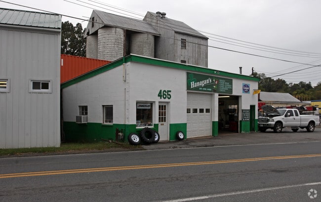


Property Detail
Railroad St
09-00777428
LOT NR WASHINGTON GR OVE
Warehouse
MONTGOMERY
IM2.5
Maryland
B and X Area of moderate flood hazard, usually the area between the limits of the 100-year and 500-year floods.
0077742
2024
0.17 AC
2025
Gaithersburg
700711
Washington, DC
1,896 SF
Washington-Arlington-Alexandria, DC-VA-MD-WV
NEARBY LISTINGS FOR SALE OR LEASE
DEMOGRAPHICS near Railroad St
1 mile
3 mile
5 mile
2025 Total Population
21,042
142,597
287,649
2030 Population
21,753
147,251
296,008
Pop Growth 2025-2030
+ 3.38%
+ 3.26%
+ 2.91%
Average Age
38
39
40
2025 Total Households
7,092
52,665
103,134
HH Growth 2025-2030
+ 3.40%
+ 3.31%
+ 2.93%
Median Household Inc
$93,722
$100,421
$117,074
Avg Household Size
2.90
2.60
2.70
2025 Avg HH Vehicles
2.00
2.00
2.00
Median Home Value
$511,684
$483,048
$572,859
Median Year Built
1984
1986
1985
Nearby Places
Map Layers
Map Styles
 Street
 Aerial
Layers
 Traffic
 Biking
Places
Listings with unknown addresses are not visible on the map
- Restaurants
- Banks
- Shops
- Fitness
- Groceries
PUBLIC TRANSPORTATION
TRANSIT/SUBWAY
Washington Grove (Brunswick Line - Maryland Area Regional Commuter Trains (The MARC))
Drive
Walk
Distance
Washington Grove (Brunswick Line - Maryland Area Regional Commuter Trains (The MARC))
1 min
4 min
0.2 mi
Gaithersburg (Brunswick Line - Maryland Area Regional Commuter Trains (The MARC))
Drive
Walk
Distance
Gaithersburg (Brunswick Line - Maryland Area Regional Commuter Trains (The MARC))
3 min
18 min
0.9 mi
COMMUTER RAIL
Drive
Walk
Distance
1 min
5 min
0.2 mi
Drive
Walk
Distance
3 min
17 min
0.9 mi
AIRPORT
Ronald Reagan Washington Ntl
Drive
Walk
Distance
Ronald Reagan Washington Ntl
46 min
25.4 mi
Washington Dulles International
Drive
Walk
Distance
Washington Dulles International
51 min
31.8 mi
Baltimore/Washington International Thurgood Marshall
Drive
Walk
Distance
Baltimore/Washington International Thurgood Marshall
53 min
39.0 mi
Freight Ports
Port of Baltimore
Drive
Walk
Distance
Port of Baltimore
56 min
41.6 mi
Nearby Properties
Address
Land Use
TOTAL SIZE
Lot Size
Zoning
Address
Land Use
TOTAL SIZE
Lot Size
Zoning
849,305 SF
30.78 AC
MXD
Address
Land Use
TOTAL SIZE
Lot Size
Zoning
713,627 SF
38.49 AC
LSC1.
Address
Land Use
TOTAL SIZE
Lot Size
Zoning
668,337 SF
10.39 AC
LSC1.
Address
Land Use
TOTAL SIZE
Lot Size
Zoning
290,912 SF
9.55 AC
LSC1.
Address
Land Use
TOTAL SIZE
Lot Size
Zoning
978,527 SF
11.54 AC
03
Address
Land Use
TOTAL SIZE
Lot Size
Zoning
693,823 SF
5.30 AC
CR2.0
Address
Land Use
TOTAL SIZE
Lot Size
Zoning
298,220 SF
38.37 AC
I3
Address
Land Use
TOTAL SIZE
Lot Size
Zoning
431,178 SF
40.97 AC
RA
Address
Land Use
TOTAL SIZE
Lot Size
Zoning
450,000 SF
8.53 AC
MXD
Address
Land Use
TOTAL SIZE
Lot Size
Zoning
298,300 SF
7.69 AC
CR1.0
Address
Land Use
TOTAL SIZE
Lot Size
Zoning
185,000 SF
2.60 AC
EOF
Address
Land Use
TOTAL SIZE
Lot Size
Zoning
912,992 SF
6.11 AC
CBD
Address
Land Use
TOTAL SIZE
Lot Size
Zoning
434,440 SF
5.09 AC
CR1.5
Address
Land Use
TOTAL SIZE
Lot Size
Zoning
754,379 SF
28.29 AC
R90
Address
Land Use
TOTAL SIZE
Lot Size
Zoning
185,040 SF
49.79 AC
IL1.0
Address
Land Use
TOTAL SIZE
Lot Size
Zoning
407,130 SF
4.62 AC
CRT1.
Address
Land Use
TOTAL SIZE
Lot Size
Zoning
363,750 SF
21.16 AC
R60
Address
Land Use
TOTAL SIZE
Lot Size
Zoning
370,422 SF
13.87 AC
CRT1.
Address
Land Use
TOTAL SIZE
Lot Size
Zoning
2,556 SF
555.47 AC
R200
Address
Land Use
TOTAL SIZE
Lot Size
Zoning
302,484 SF
4.99 AC
MXD
Address
Land Use
TOTAL SIZE
Lot Size
Zoning
85,381 SF
5.86 AC
MXD
Address
Land Use
TOTAL SIZE
Lot Size
Zoning
315,000 SF
4.70 AC
CR1.5
Address
Land Use
TOTAL SIZE
Lot Size
Zoning
363,000 SF
4.37 AC
MXTD
Address
Land Use
TOTAL SIZE
Lot Size
Zoning
899,156 SF
6.05 AC
CD
Address
Land Use
TOTAL SIZE
Lot Size
Zoning
323,940 SF
17.92 AC
R30
Address
Land Use
TOTAL SIZE
Lot Size
Zoning
1.64 AC
MXD
Address
Land Use
TOTAL SIZE
Lot Size
Zoning
405,742 SF
14.48 AC
R30
Address
Land Use
TOTAL SIZE
Lot Size
Zoning
170,689 SF
9.98 AC
LSC1.
Address
Land Use
TOTAL SIZE
Lot Size
Zoning
385,641 SF
2.65 AC
MXD
Address
Land Use
TOTAL SIZE
Lot Size
Zoning
325,990 SF
51.21 AC
CRT07
The World's #1 Commercial Real Estate Marketplace
Connect with us
© 2026 CoStar Group
The information above has been obtained from sources believed reliable. While we do not doubt its accuracy we have not verified it and make no guarantee, warranty or representation about it. It is your responsibility to independently confirm its accuracy and completeness. Any projections, opinions, assumptions, or estimates used are for example only and do not represent the current or future performance of the property. The value of this transaction to you depends on tax and other factors which should be evaluated by your tax, financial, and legal advisors. You and your advisors should conduct a careful, independent investigation of the property to determine to your satisfaction the suitability of the property for your needs.