Property Record
Regis Ct, Vista, CA 92084
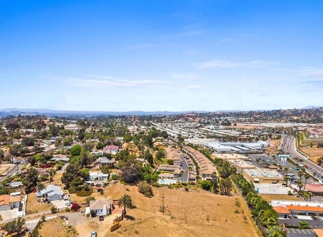
Property Detail
Regis Ct
173-390-76
PAR D TR PM12241
Residentialacreage
SAN DIEGO
R-1
California
B and X Area of moderate flood hazard, usually the area between the limits of the 100-year and 500-year floods.
0.28 AC
2024
Vista
2025
San Diego
019601
San Diego-Chula Vista-Carlsbad, CA
NEARBY LISTINGS FOR SALE OR LEASE
DEMOGRAPHICS near Regis Ct
1 mile
3 mile
5 mile
2024 Total Population
27,344
106,085
221,621
2029 Population
27,632
106,741
222,236
Pop Growth 2024-2029
+ 1.05%
+ 0.62%
+ 0.28%
Average Age
36
39
40
2024 Total Households
7,899
33,472
72,777
HH Growth 2024-2029
+ 0.92%
+ 0.45%
+ 0.12%
Median Household Inc
$82,973
$96,998
$104,689
Avg Household Size
3.30
3.00
2.90
2024 Avg HH Vehicles
2.00
2.00
2.00
Median Home Value
$668,114
$755,168
$770,468
Median Year Built
1976
1981
1984
Nearby Places
Map Layers
Map Styles
 Street
 Aerial
Transit
 Traffic
 Biking
Places
Listings with unknown addresses are not visible on the map
- Restaurants
- Banks
- Shops
- Fitness
- Groceries
PUBLIC TRANSPORTATION
COMMUTER RAIL
Carlsbad Village (Coaster - San Diego North County Transit District (Coaster/Sprinter/Breeze))
Drive
Walk
Distance
Carlsbad Village (Coaster - San Diego North County Transit District (Coaster/Sprinter/Breeze))
15 min
9.5 mi
Freight Ports
Port of San Diego
Drive
Walk
Distance
Port of San Diego
58 min
44.7 mi
SALE & LEASE HISTORY
LISTING DATE
SALE/LEASE

Aug 04, 2022
For Sale
Nearby Properties
Address
Land Use
TOTAL SIZE
Lot Size
Zoning
Address
Land Use
TOTAL SIZE
Lot Size
Zoning
20.10 AC
M-U
Address
Land Use
TOTAL SIZE
Lot Size
Zoning
10.39 AC
M-U (40)
Address
Land Use
TOTAL SIZE
Lot Size
Zoning
18.90 AC
R-M
Address
Land Use
TOTAL SIZE
Lot Size
Zoning
11.17 AC
M-U
Address
Land Use
TOTAL SIZE
Lot Size
Zoning
21.44 AC
C-1
Address
Land Use
TOTAL SIZE
Lot Size
Zoning
1.23 AC
SPI
Address
Land Use
TOTAL SIZE
Lot Size
Zoning
7.97 AC
SPI-DV
Address
Land Use
TOTAL SIZE
Lot Size
Zoning
5.10 AC
R-M
Address
Land Use
TOTAL SIZE
Lot Size
Zoning
9.48 AC
R-M
Address
Land Use
TOTAL SIZE
Lot Size
Zoning
14.08 AC
RH
Address
Land Use
TOTAL SIZE
Lot Size
Zoning
8.67 AC
R-M
Address
Land Use
TOTAL SIZE
Lot Size
Zoning
10.38 AC
R-M
Address
Land Use
TOTAL SIZE
Lot Size
Zoning
6.55 AC
R-M
Address
Land Use
TOTAL SIZE
Lot Size
Zoning
3.32 AC
SPI
Address
Land Use
TOTAL SIZE
Lot Size
Zoning
10.59 AC
RH
Address
Land Use
TOTAL SIZE
Lot Size
Zoning
3.99 AC
M-U
Address
Land Use
TOTAL SIZE
Lot Size
Zoning
1.92 AC
C-2
Address
Land Use
TOTAL SIZE
Lot Size
Zoning
4.34 AC
SP-08
Address
Land Use
TOTAL SIZE
Lot Size
Zoning
74,866 SF
3.18 AC
C-1
Address
Land Use
TOTAL SIZE
Lot Size
Zoning
7.18 AC
R-M
Address
Land Use
TOTAL SIZE
Lot Size
Zoning
99,906 SF
5.06 AC
R-M
Address
Land Use
TOTAL SIZE
Lot Size
Zoning
14.67 AC
R-M
Address
Land Use
TOTAL SIZE
Lot Size
Zoning
59,481 SF
2.63 AC
C-1
Address
Land Use
TOTAL SIZE
Lot Size
Zoning
60,200 SF
3.08 AC
R-M
Address
Land Use
TOTAL SIZE
Lot Size
Zoning
77,084 SF
2.12 AC
SPI
Address
Land Use
TOTAL SIZE
Lot Size
Zoning
3.30 AC
M-U
Address
Land Use
TOTAL SIZE
Lot Size
Zoning
6.53 AC
R-M
Address
Land Use
TOTAL SIZE
Lot Size
Zoning
9.27 AC
R-M
Address
Land Use
TOTAL SIZE
Lot Size
Zoning
89,926 SF
4.25 AC
C-1
Address
Land Use
TOTAL SIZE
Lot Size
Zoning
43,610 SF
10.57 AC
SPI
The World's #1 Commercial Real Estate Marketplace
Connect with us
© 2026 CoStar Group
The information above has been obtained from sources believed reliable. While we do not doubt its accuracy we have not verified it and make no guarantee, warranty or representation about it. It is your responsibility to independently confirm its accuracy and completeness. Any projections, opinions, assumptions, or estimates used are for example only and do not represent the current or future performance of the property. The value of this transaction to you depends on tax and other factors which should be evaluated by your tax, financial, and legal advisors. You and your advisors should conduct a careful, independent investigation of the property to determine to your satisfaction the suitability of the property for your needs.