Property Record
2816 E Constance Way, Phoenix, AZ 85042
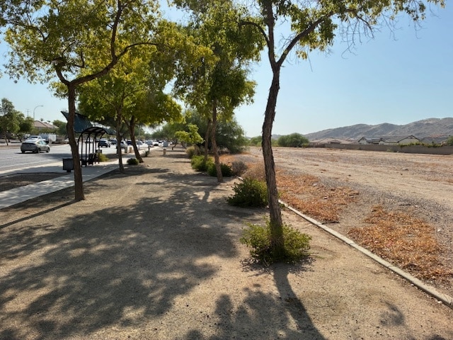

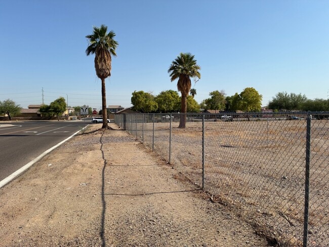

This Property Is For Sale
NEARBY LISTINGS FOR SALE OR LEASE
Property Detail
2816 E Constance Way
Phoenix-Mesa-Chandler, AZ
Arboleda Ranch
301-26-720
Maricopa
Sfr
Arizona
X
0.46 AC
04013C2220M
Airport Area
3,470 SF
Phoenix
DEMOGRAPHICS near 2816 E Constance Way
1 Mile
3 Mile
5 Mile
2024 Total Population
7,672
82,546
217,786
2029 Population
8,293
89,228
235,153
Pop Growth 2024-2029
+ 8.09%
+ 8.09%
+ 7.97%
Average Age
38
37
36
2024 Total Households
2,868
28,263
78,108
HH Growth 2024-2029
+ 8.23%
+ 8.16%
+ 8.04%
Median Household Inc
$88,401
$70,871
$68,037
Avg Household Size
2.60
2.80
2.70
2024 Avg HH Vehicles
2.00
2.00
2.00
Median Home Value
$412,500
$321,364
$335,386
Median Year Built
2001
1985
1986
Nearby Places
Map Layers
Map Styles
 Street
 Aerial
- Restaurants
- Banks
- Shops
- Fitness
- Groceries
PUBLIC TRANSPORTATION
AIRPORT
Phoenix Sky Harbor International
DRIVE
WALK
Distance
Phoenix Sky Harbor International
15 min
7.8 mi
Phoenix-Mesa Gateway
DRIVE
WALK
Distance
Phoenix-Mesa Gateway
39 min
26.8 mi
Freight Ports
Port of San Diego
DRIVE
WALK
Distance
Port of San Diego
402 min
366.9 mi
Nearby Properties
Address
Land Use
TOTAL SIZE
Lot Size
Zoning
Address
Land Use
TOTAL SIZE
Lot Size
Zoning
81,816 SF
7.95 AC
Address
Land Use
TOTAL SIZE
Lot Size
Zoning
10,776 SF
10.14 AC
C-C
Address
Land Use
TOTAL SIZE
Lot Size
Zoning
359,401 SF
96.70 AC
R-6
Address
Land Use
TOTAL SIZE
Lot Size
Zoning
369,723 SF
19.41 AC
R3
Address
Land Use
TOTAL SIZE
Lot Size
Zoning
180,690 SF
11.20 AC
I-P
Address
Land Use
TOTAL SIZE
Lot Size
Zoning
586,083 SF
69.82 AC
Address
Land Use
TOTAL SIZE
Lot Size
Zoning
309.82 AC
R-35
Address
Land Use
TOTAL SIZE
Lot Size
Zoning
301,102 SF
27.45 AC
Address
Land Use
TOTAL SIZE
Lot Size
Zoning
734,975 SF
10.53 AC
Address
Land Use
TOTAL SIZE
Lot Size
Zoning
112,968 SF
10.55 AC
R-43AG
Address
Land Use
TOTAL SIZE
Lot Size
Zoning
283,648 SF
6.83 AC
Address
Land Use
TOTAL SIZE
Lot Size
Zoning
3.59 AC
Address
Land Use
TOTAL SIZE
Lot Size
Zoning
278,400 SF
10.17 AC
R-6
Address
Land Use
TOTAL SIZE
Lot Size
Zoning
220,379 SF
16.87 AC
Address
Land Use
TOTAL SIZE
Lot Size
Zoning
308,180 SF
18.77 AC
I-P
Address
Land Use
TOTAL SIZE
Lot Size
Zoning
261.15 AC
RE-35
Address
Land Use
TOTAL SIZE
Lot Size
Zoning
225,031 SF
17.80 AC
I-P
Address
Land Use
TOTAL SIZE
Lot Size
Zoning
477,320 SF
26.58 AC
I-P
Address
Land Use
TOTAL SIZE
Lot Size
Zoning
172,272 SF
5.74 AC
CPGCP
Address
Land Use
TOTAL SIZE
Lot Size
Zoning
121,410 SF
10.65 AC
R-6
Address
Land Use
TOTAL SIZE
Lot Size
Zoning
205,550 SF
27.37 AC
R-6
Address
Land Use
TOTAL SIZE
Lot Size
Zoning
119,393 SF
13.99 AC
C1
Address
Land Use
TOTAL SIZE
Lot Size
Zoning
104,508 SF
8.84 AC
I-1
Address
Land Use
TOTAL SIZE
Lot Size
Zoning
108,874 SF
12.79 AC
I-P
Address
Land Use
TOTAL SIZE
Lot Size
Zoning
87,690 SF
9.31 AC
R-6
Address
Land Use
TOTAL SIZE
Lot Size
Zoning
138,588 SF
12.03 AC
CPGCP
Address
Land Use
TOTAL SIZE
Lot Size
Zoning
473,659 SF
23.45 AC
M-H
Address
Land Use
TOTAL SIZE
Lot Size
Zoning
148,992 SF
15.33 AC
PCC1
Address
Land Use
TOTAL SIZE
Lot Size
Zoning
81,084 SF
11.52 AC
PCD
Address
Land Use
TOTAL SIZE
Lot Size
Zoning
203,214 SF
2.61 AC
R5
The World's #1 Commercial Real Estate Marketplace
Connect with us
© 2026 CoStar Group
The information above has been obtained from sources believed reliable. While we do not doubt its accuracy we have not verified it and make no guarantee, warranty or representation about it. It is your responsibility to independently confirm its accuracy and completeness. Any projections, opinions, assumptions, or estimates used are for example only and do not represent the current or future performance of the property. The value of this transaction to you depends on tax and other factors which should be evaluated by your tax, financial, and legal advisors. You and your advisors should conduct a careful, independent investigation of the property to determine to your satisfaction the suitability of the property for your needs.