Property Record
228-230 Sessom Dr, San Marcos, TX 78666
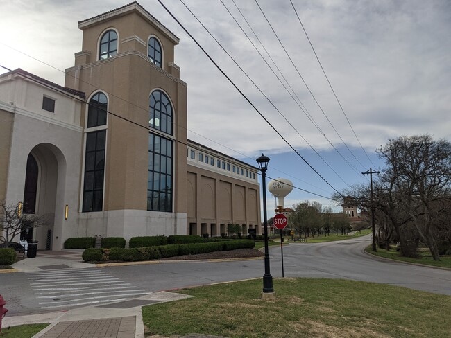
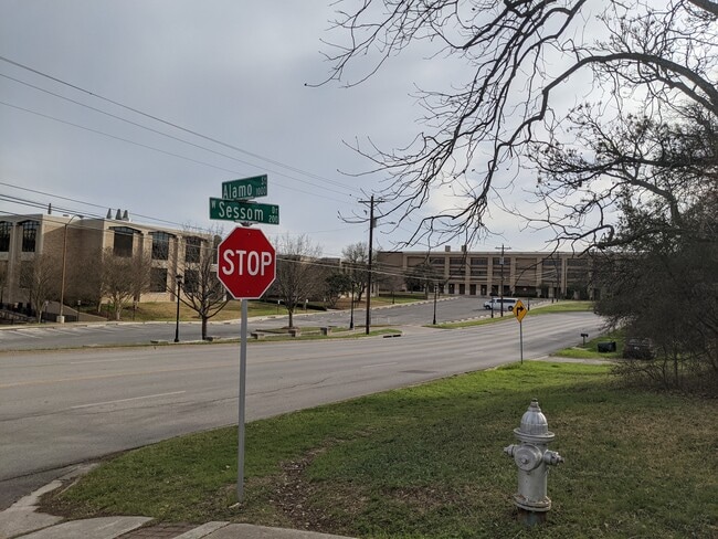
This Property Is For Sale
Property Detail
228-230 Sessom Dr
Austin-Round Rock-San Marcos, TX
Mcnaughton Addn
R60632
MC NAUGHTON G A 39-150-A LOT 2A BLK 7 GEO#333130749410
Sfr
Hays
X
Texas
48055C0075F
2a
2024
0.94 AC
2025
Hays County
010200
Austin
2,120 SF
NEARBY LISTINGS FOR SALE OR LEASE
DEMOGRAPHICS near 228-230 Sessom Dr
1 mile
3 mile
5 mile
2024 Total Population
17,044
60,450
82,671
2029 Population
21,663
78,245
107,228
Pop Growth 2024-2029
+ 27.10%
+ 29.44%
+ 29.70%
Average Age
28
32
33
2024 Total Households
6,020
25,109
32,866
HH Growth 2024-2029
+ 31.81%
+ 31.28%
+ 31.73%
Median Household Inc
$27,297
$30,972
$35,196
Avg Household Size
2.10
2.20
2.30
2024 Avg HH Vehicles
2.00
2.00
2.00
Median Home Value
$293,443
$257,317
$263,627
Median Year Built
1988
1995
1998
Nearby Places
Map Layers
Map Styles
 Street
 Aerial
Transit
 Traffic
 Biking
Places
Listings with unknown addresses are not visible on the map
- Restaurants
- Banks
- Shops
- Fitness
- Groceries
PUBLIC TRANSPORTATION
COMMUTER RAIL
San Marcos Amtrak (Texas Eagle - Amtrak)
Drive
Walk
Distance
San Marcos Amtrak (Texas Eagle - Amtrak)
4 min
1.3 mi
AIRPORT
Austin-Bergstrom International
Drive
Walk
Distance
Austin-Bergstrom International
50 min
36.1 mi
Freight Ports
Calhoun Port
Drive
Walk
Distance
Calhoun Port
167 min
136.3 mi
Nearby Properties
Address
Land Use
TOTAL SIZE
Lot Size
Zoning
Address
Land Use
TOTAL SIZE
Lot Size
Zoning
623,823 SF
1.46 AC
Address
Land Use
TOTAL SIZE
Lot Size
Zoning
215,932 SF
3.67 AC
Address
Land Use
TOTAL SIZE
Lot Size
Zoning
419,973 SF
23.69 AC
Address
Land Use
TOTAL SIZE
Lot Size
Zoning
324,430 SF
23.60 AC
Address
Land Use
TOTAL SIZE
Lot Size
Zoning
479,270 SF
24.78 AC
Address
Land Use
TOTAL SIZE
Lot Size
Zoning
458,948 SF
35.43 AC
Address
Land Use
TOTAL SIZE
Lot Size
Zoning
402,983 SF
21.31 AC
Address
Land Use
TOTAL SIZE
Lot Size
Zoning
343,094 SF
39.30 AC
Address
Land Use
TOTAL SIZE
Lot Size
Zoning
545,643 SF
2.69 AC
Address
Land Use
TOTAL SIZE
Lot Size
Zoning
279,131 SF
22.46 AC
Address
Land Use
TOTAL SIZE
Lot Size
Zoning
466,968 SF
15.19 AC
Address
Land Use
TOTAL SIZE
Lot Size
Zoning
311,146 SF
5.11 AC
Address
Land Use
TOTAL SIZE
Lot Size
Zoning
264,570 SF
14.23 AC
Address
Land Use
TOTAL SIZE
Lot Size
Zoning
352,285 SF
12.75 AC
Address
Land Use
TOTAL SIZE
Lot Size
Zoning
283,033 SF
19.46 AC
Address
Land Use
TOTAL SIZE
Lot Size
Zoning
327,917 SF
10.54 AC
Address
Land Use
TOTAL SIZE
Lot Size
Zoning
266,157 SF
14.70 AC
Address
Land Use
TOTAL SIZE
Lot Size
Zoning
278,193 SF
17.44 AC
Address
Land Use
TOTAL SIZE
Lot Size
Zoning
365,750 SF
19.65 AC
Address
Land Use
TOTAL SIZE
Lot Size
Zoning
277,659 SF
10.77 AC
Address
Land Use
TOTAL SIZE
Lot Size
Zoning
306,818 SF
18.33 AC
Address
Land Use
TOTAL SIZE
Lot Size
Zoning
307,962 SF
14.23 AC
Address
Land Use
TOTAL SIZE
Lot Size
Zoning
215,688 SF
10.36 AC
Address
Land Use
TOTAL SIZE
Lot Size
Zoning
24.14 AC
Address
Land Use
TOTAL SIZE
Lot Size
Zoning
179,764 SF
3.27 AC
Address
Land Use
TOTAL SIZE
Lot Size
Zoning
145,336 SF
0.87 AC
Address
Land Use
TOTAL SIZE
Lot Size
Zoning
185,184 SF
11.22 AC
Address
Land Use
TOTAL SIZE
Lot Size
Zoning
233,640 SF
12.99 AC
Address
Land Use
TOTAL SIZE
Lot Size
Zoning
181,400 SF
13.07 AC
Address
Land Use
TOTAL SIZE
Lot Size
Zoning
211,562 SF
2.35 AC
The World's #1 Commercial Real Estate Marketplace
Connect with us
© 2026 CoStar Group
The information above has been obtained from sources believed reliable. While we do not doubt its accuracy we have not verified it and make no guarantee, warranty or representation about it. It is your responsibility to independently confirm its accuracy and completeness. Any projections, opinions, assumptions, or estimates used are for example only and do not represent the current or future performance of the property. The value of this transaction to you depends on tax and other factors which should be evaluated by your tax, financial, and legal advisors. You and your advisors should conduct a careful, independent investigation of the property to determine to your satisfaction the suitability of the property for your needs.