Property Record
Vac/Cor 60Th Stw Pav /Ave H Pa, Lancaster, CA 93536


NEARBY LISTINGS FOR SALE OR LEASE
Property Detail
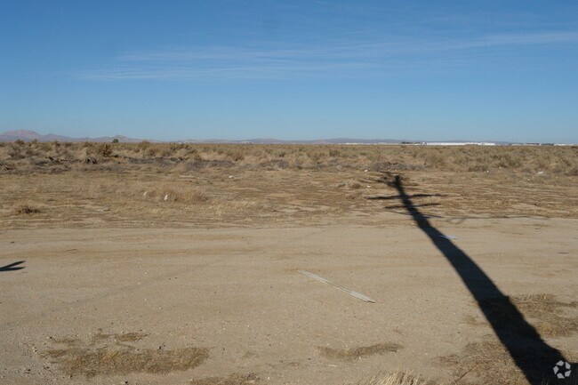
Vac/Cor 60Th Stw Pav /Ave H Pa
Los Angeles-Long Beach-Glendale, CA
SW 1/4 OF SW 1/4 OF SW 1/4 EX OF ST OF SEC 2 T 7N R 13W
3269-008-003
Los Angeles
Industrialacreage
California
X
2
06037C0405F
8.84 AC
2024
Antelope Valley
2025
Los Angeles
901214
DEMOGRAPHICS near Vac/Cor 60Th Stw Pav /Ave H Pa
1 Mile
3 Mile
5 Mile
2024 Total Population
42
9,800
66,622
2029 Population
42
9,636
64,752
Pop Growth 2024-2029
0.00%
(1.67%)
(2.81%)
Average Age
38
36
38
2024 Total Households
15
2,760
21,044
HH Growth 2024-2029
(6.67%)
(1.92%)
(3.09%)
Median Household Inc
$52,500
$102,986
$86,218
Avg Household Size
2.70
3.50
3.10
2024 Avg HH Vehicles
2.00
3.00
2.00
Median Home Value
$399,999
$441,589
$391,874
Median Year Built
2005
2002
1989
Nearby Places
Map Layers
Map Styles
 Street
 Aerial
- Restaurants
- Banks
- Shops
- Fitness
- Groceries
PUBLIC TRANSPORTATION
COMMUTER RAIL
Lancaster (Antelope Valley Line - Southern California Regional Rail Authority (Metrolink))
DRIVE
WALK
Distance
Lancaster (Antelope Valley Line - Southern California Regional Rail Authority (Metrolink))
11 min
7.2 mi
Freight Ports
Port of Long Beach
DRIVE
WALK
Distance
Port of Long Beach
116 min
98.8 mi
Nearby Properties
Address
Land Use
TOTAL SIZE
Lot Size
Zoning
Address
Land Use
TOTAL SIZE
Lot Size
Zoning
465,697 SF
27.82 AC
LRSP*
Address
Land Use
TOTAL SIZE
Lot Size
Zoning
249,045 SF
19.74 AC
LRMPD*
Address
Land Use
TOTAL SIZE
Lot Size
Zoning
89,351 SF
17.97 AC
LRMDR
Address
Land Use
TOTAL SIZE
Lot Size
Zoning
198,494 SF
9.78 AC
LRSP*
Address
Land Use
TOTAL SIZE
Lot Size
Zoning
0.34 AC
LCA22*
Address
Land Use
TOTAL SIZE
Lot Size
Zoning
32.02 AC
LRSP
Address
Land Use
TOTAL SIZE
Lot Size
Zoning
Address
Land Use
TOTAL SIZE
Lot Size
Zoning
99,247 SF
10.11 AC
LRA12*
Address
Land Use
TOTAL SIZE
Lot Size
Zoning
21,873 SF
3.38 AC
LCA22*
Address
Land Use
TOTAL SIZE
Lot Size
Zoning
14,581 SF
0.95 AC
LRSP*
Address
Land Use
TOTAL SIZE
Lot Size
Zoning
76.91 AC
LRA12*
Address
Land Use
TOTAL SIZE
Lot Size
Zoning
80 AC
LRA12*
Address
Land Use
TOTAL SIZE
Lot Size
Zoning
40.30 AC
LRR1-2.5
Address
Land Use
TOTAL SIZE
Lot Size
Zoning
1,192 SF
39.98 AC
LRR1-7000
Address
Land Use
TOTAL SIZE
Lot Size
Zoning
14,581 SF
1.06 AC
LRSP*
Address
Land Use
TOTAL SIZE
Lot Size
Zoning
116.93 AC
LRRR
Address
Land Use
TOTAL SIZE
Lot Size
Zoning
37.66 AC
LCA22*
Address
Land Use
TOTAL SIZE
Lot Size
Zoning
37.01 AC
LRA12*
Address
Land Use
TOTAL SIZE
Lot Size
Zoning
19.09 AC
LRSP
Address
Land Use
TOTAL SIZE
Lot Size
Zoning
153.67 AC
LRRR25*
Address
Land Use
TOTAL SIZE
Lot Size
Zoning
7,858 SF
0.60 AC
LRSP*
Address
Land Use
TOTAL SIZE
Lot Size
Zoning
9.47 AC
LRA12*
Address
Land Use
TOTAL SIZE
Lot Size
Zoning
18.89 AC
LRMUE
Address
Land Use
TOTAL SIZE
Lot Size
Zoning
16,614 SF
1.09 AC
LRSP*
Address
Land Use
TOTAL SIZE
Lot Size
Zoning
9.62 AC
LRA12*
Address
Land Use
TOTAL SIZE
Lot Size
Zoning
22.02 AC
LRPK
Address
Land Use
TOTAL SIZE
Lot Size
Zoning
7,925 SF
9.55 AC
LCC1-A22*
Address
Land Use
TOTAL SIZE
Lot Size
Zoning
6,370 SF
0.54 AC
LRSP*
Address
Land Use
TOTAL SIZE
Lot Size
Zoning
2,176 SF
79.23 AC
LCA21*
Address
Land Use
TOTAL SIZE
Lot Size
Zoning
7,858 SF
0.61 AC
LRSP*
The World's #1 Commercial Real Estate Marketplace
Connect with us
© 2026 CoStar Group
The information above has been obtained from sources believed reliable. While we do not doubt its accuracy we have not verified it and make no guarantee, warranty or representation about it. It is your responsibility to independently confirm its accuracy and completeness. Any projections, opinions, assumptions, or estimates used are for example only and do not represent the current or future performance of the property. The value of this transaction to you depends on tax and other factors which should be evaluated by your tax, financial, and legal advisors. You and your advisors should conduct a careful, independent investigation of the property to determine to your satisfaction the suitability of the property for your needs.