Property Record
W E Martintown Rd, North Augusta, SC 29841
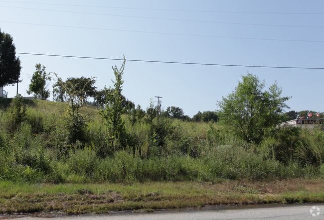

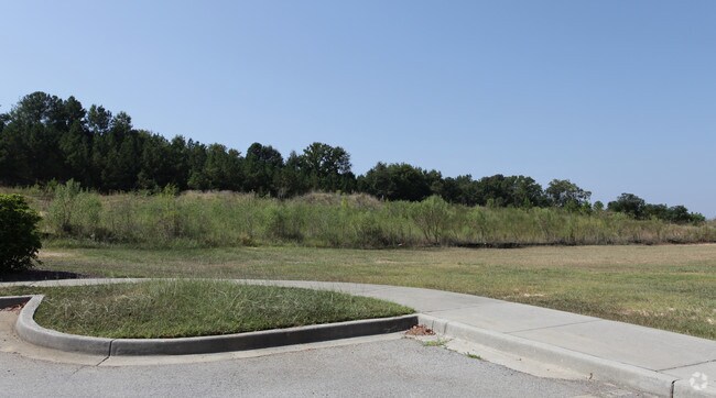

Property Detail
W E Martintown Rd
Augusta-Richmond County, GA-SC
W OF HWY 230
001-20-02-006
AIKEN
Commercialnec
South Carolina
B and X Area of moderate flood hazard, usually the area between the limits of the 100-year and 500-year floods.
081
2025
16 AC
2025
North Augusta
020701
Augusta/Richmond County
NEARBY LISTINGS FOR SALE OR LEASE
DEMOGRAPHICS near W E Martintown Rd
1 mile
3 mile
5 mile
2024 Total Population
2,142
29,139
90,702
2029 Population
2,277
30,462
93,617
Pop Growth 2024-2029
+ 6.30%
+ 4.54%
+ 3.21%
Average Age
41
40
41
2024 Total Households
780
12,740
39,765
HH Growth 2024-2029
+ 6.28%
+ 4.25%
+ 2.99%
Median Household Inc
$128,077
$81,250
$73,364
Avg Household Size
2.70
2.20
2.20
2024 Avg HH Vehicles
2.00
2.00
2.00
Median Home Value
$335,590
$242,653
$257,384
Median Year Built
1999
1985
1979
Nearby Places
Map Layers
Map Styles
 Street
 Aerial
Transit
 Traffic
 Biking
Places
Listings with unknown addresses are not visible on the map
- Restaurants
- Banks
- Shops
- Fitness
- Groceries
PUBLIC TRANSPORTATION
AIRPORT
Augusta Regional at Bush Field
Drive
Walk
Distance
Augusta Regional at Bush Field
29 min
13.8 mi
Freight Ports
Georgia Ports - Savannah
Drive
Walk
Distance
Georgia Ports - Savannah
165 min
129.0 mi
SALE & LEASE HISTORY
LISTING DATE
SALE/LEASE

Sep 24, 2016
For Sale
Mar 29, 2017
For Sale
Nearby Properties
Address
Land Use
TOTAL SIZE
Lot Size
Zoning
Address
Land Use
TOTAL SIZE
Lot Size
Zoning
4,214 SF
12.73 AC
LI_B-2
Address
Land Use
TOTAL SIZE
Lot Size
Zoning
6,694 SF
17.75 AC
R-3B
Address
Land Use
TOTAL SIZE
Lot Size
Zoning
33,784 SF
22.27 AC
B-2
Address
Land Use
TOTAL SIZE
Lot Size
Zoning
6,516 SF
15.33 AC
R-3B
Address
Land Use
TOTAL SIZE
Lot Size
Zoning
Address
Land Use
TOTAL SIZE
Lot Size
Zoning
1,000 SF
4.45 AC
Address
Land Use
TOTAL SIZE
Lot Size
Zoning
3,447 SF
16.67 AC
R-3B
Address
Land Use
TOTAL SIZE
Lot Size
Zoning
61,769 SF
12.06 AC
B-2
Address
Land Use
TOTAL SIZE
Lot Size
Zoning
25,504 SF
9.87 AC
B-2
Address
Land Use
TOTAL SIZE
Lot Size
Zoning
2,355 SF
12.97 AC
B-2
Address
Land Use
TOTAL SIZE
Lot Size
Zoning
6,424 SF
15.16 AC
R-3C
Address
Land Use
TOTAL SIZE
Lot Size
Zoning
87,453 SF
8.90 AC
Address
Land Use
TOTAL SIZE
Lot Size
Zoning
68,640 SF
12.02 AC
R-3B
Address
Land Use
TOTAL SIZE
Lot Size
Zoning
143,547 SF
9.88 AC
B-2
Address
Land Use
TOTAL SIZE
Lot Size
Zoning
39,830 SF
2.43 AC
Address
Land Use
TOTAL SIZE
Lot Size
Zoning
34,080 SF
12 AC
B-2
Address
Land Use
TOTAL SIZE
Lot Size
Zoning
106,400 SF
13.53 AC
002
Address
Land Use
TOTAL SIZE
Lot Size
Zoning
69,288 SF
39.14 AC
Address
Land Use
TOTAL SIZE
Lot Size
Zoning
75,295 SF
8.37 AC
LI
Address
Land Use
TOTAL SIZE
Lot Size
Zoning
12,480 SF
9.27 AC
R-3B
Address
Land Use
TOTAL SIZE
Lot Size
Zoning
36,101 SF
6.61 AC
Address
Land Use
TOTAL SIZE
Lot Size
Zoning
144,641 SF
16.90 AC
LI
Address
Land Use
TOTAL SIZE
Lot Size
Zoning
3,600 SF
5.88 AC
B-2
Address
Land Use
TOTAL SIZE
Lot Size
Zoning
620 SF
13.40 AC
R-1
Address
Land Use
TOTAL SIZE
Lot Size
Zoning
51.61 AC
Address
Land Use
TOTAL SIZE
Lot Size
Zoning
83,663 SF
15.25 AC
B-2
Address
Land Use
TOTAL SIZE
Lot Size
Zoning
19,120 SF
8.77 AC
Address
Land Use
TOTAL SIZE
Lot Size
Zoning
9,800 SF
2.73 AC
Address
Land Use
TOTAL SIZE
Lot Size
Zoning
56,307 SF
7.75 AC
R-1A
Address
Land Use
TOTAL SIZE
Lot Size
Zoning
19,952 SF
10.50 AC
LI
The World's #1 Commercial Real Estate Marketplace
Connect with us
© 2026 CoStar Group
The information above has been obtained from sources believed reliable. While we do not doubt its accuracy we have not verified it and make no guarantee, warranty or representation about it. It is your responsibility to independently confirm its accuracy and completeness. Any projections, opinions, assumptions, or estimates used are for example only and do not represent the current or future performance of the property. The value of this transaction to you depends on tax and other factors which should be evaluated by your tax, financial, and legal advisors. You and your advisors should conduct a careful, independent investigation of the property to determine to your satisfaction the suitability of the property for your needs.