Property Record
Woodruff Rd, Greenville, SC 29607
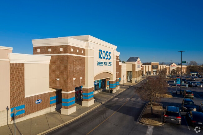


Property Detail
Woodruff Rd
Greenville-Anderson-Greer, SC
1,3
0547.02-01-031.03
GREENVILLE
Stripcommercialcenter
South Carolina
C3
031.03
B and X Area of moderate flood hazard, usually the area between the limits of the 100-year and 500-year floods.
26.90 AC
2025
E Butler Rd
2025
Greenville/Spartanburg
001900
NEARBY LISTINGS FOR SALE OR LEASE
DEMOGRAPHICS near Woodruff Rd
1 mile
3 mile
5 mile
2025 Total Population
4,175
57,167
163,384
2030 Population
4,513
61,802
175,492
Pop Growth 2025-2030
+ 8.10%
+ 8.11%
+ 7.41%
Average Age
37
40
40
2025 Total Households
1,963
25,565
68,955
HH Growth 2025-2030
+ 8.25%
+ 8.45%
+ 7.72%
Median Household Inc
$76,849
$88,550
$88,589
Avg Household Size
2.10
2.20
2.30
2025 Avg HH Vehicles
2.00
2.00
2.00
Median Home Value
$411,255
$405,686
$384,706
Median Year Built
1996
1996
1991
Nearby Places
Map Layers
Map Styles
 Street
 Aerial
Layers
 Traffic
 Biking
Places
Listings with unknown addresses are not visible on the map
- Restaurants
- Banks
- Shops
- Fitness
- Groceries
PUBLIC TRANSPORTATION
COMMUTER RAIL
Greenville Amtrak Station (Crescent - Amtrak)
Drive
Walk
Distance
Greenville Amtrak Station (Crescent - Amtrak)
16 min
8.9 mi
AIRPORT
Greenville Spartanburg International
Drive
Walk
Distance
Greenville Spartanburg International
15 min
8.0 mi
Freight Ports
North Charleston Terminal
Drive
Walk
Distance
North Charleston Terminal
223 min
197.9 mi
SALE & LEASE HISTORY
LISTING DATE
SALE/LEASE

Sep 25, 2016
For Lease
May 12, 2017
For Lease
Nearby Properties
Address
Land Use
TOTAL SIZE
Lot Size
Zoning
Address
Land Use
TOTAL SIZE
Lot Size
Zoning
17.56 AC
C3
Address
Land Use
TOTAL SIZE
Lot Size
Zoning
0.73 AC
C3
Address
Land Use
TOTAL SIZE
Lot Size
Zoning
1.43 AC
OD
Address
Land Use
TOTAL SIZE
Lot Size
Zoning
39.84 AC
OD
Address
Land Use
TOTAL SIZE
Lot Size
Zoning
17.07 AC
S1
Address
Land Use
TOTAL SIZE
Lot Size
Zoning
223.09 AC
I1
Address
Land Use
TOTAL SIZE
Lot Size
Zoning
1 AC
OD
Address
Land Use
TOTAL SIZE
Lot Size
Zoning
181.61 AC
C-2,I1
Address
Land Use
TOTAL SIZE
Lot Size
Zoning
18.55 AC
RS
Address
Land Use
TOTAL SIZE
Lot Size
Zoning
12.11 AC
C2
Address
Land Use
TOTAL SIZE
Lot Size
Zoning
20.63 AC
S1
Address
Land Use
TOTAL SIZE
Lot Size
Zoning
22.50 AC
S1
Address
Land Use
TOTAL SIZE
Lot Size
Zoning
15.32 AC
RM2
Address
Land Use
TOTAL SIZE
Lot Size
Zoning
0.47 AC
OD
Address
Land Use
TOTAL SIZE
Lot Size
Zoning
6.86 AC
S1
Address
Land Use
TOTAL SIZE
Lot Size
Zoning
2,355 SF
10.21 AC
RS
Address
Land Use
TOTAL SIZE
Lot Size
Zoning
10.07 AC
S1
Address
Land Use
TOTAL SIZE
Lot Size
Zoning
Address
Land Use
TOTAL SIZE
Lot Size
Zoning
10.29 AC
S1
Address
Land Use
TOTAL SIZE
Lot Size
Zoning
3.38 AC
S1
Address
Land Use
TOTAL SIZE
Lot Size
Zoning
9.10 AC
RM,C2
Address
Land Use
TOTAL SIZE
Lot Size
Zoning
5.83 AC
S1
Address
Land Use
TOTAL SIZE
Lot Size
Zoning
6.11 AC
RM2
Address
Land Use
TOTAL SIZE
Lot Size
Zoning
31.81 AC
R6
Address
Land Use
TOTAL SIZE
Lot Size
Zoning
20.40 AC
RS
Address
Land Use
TOTAL SIZE
Lot Size
Zoning
11.05 AC
S1
Address
Land Use
TOTAL SIZE
Lot Size
Zoning
6.27 AC
UVD
Address
Land Use
TOTAL SIZE
Lot Size
Zoning
10.36 AC
R12
Address
Land Use
TOTAL SIZE
Lot Size
Zoning
3.24 AC
S1
Address
Land Use
TOTAL SIZE
Lot Size
Zoning
12.03 AC
RM2
The World's #1 Commercial Real Estate Marketplace
Connect with us
© 2026 CoStar Group
The information above has been obtained from sources believed reliable. While we do not doubt its accuracy we have not verified it and make no guarantee, warranty or representation about it. It is your responsibility to independently confirm its accuracy and completeness. Any projections, opinions, assumptions, or estimates used are for example only and do not represent the current or future performance of the property. The value of this transaction to you depends on tax and other factors which should be evaluated by your tax, financial, and legal advisors. You and your advisors should conduct a careful, independent investigation of the property to determine to your satisfaction the suitability of the property for your needs.